






 Portuguese
  Spanish
  5 min of reading
  1 comment


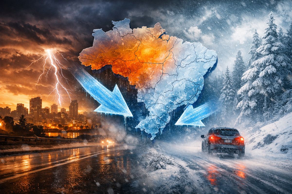


After Days Of Stifling Heat And Highs Above 30°C, The Cold Enters The Scene On Sunday (22) With The First Mass Of Cold Air. On Tuesday (24), A New Cold Front Forms; On Wednesday (25), Reinforcement Arrives, Keeping Capitals Below 26°C And Mountains Between 16°C And 18°C All Week
After a spell of hot days, high humidity, and a stifling feeling, the cold begins to gain ground in the South and Southeast starting this Sunday (22), with the arrival of the first mass of air and the noticeable drop in afternoon highs in areas that had been exceeding 30°C.
The scenario is not of a unique event: within five days, the atmosphere starts to function as a controlled “go and come back” due to two incursions of colder air, with reinforcement in the middle of the week. The practical result appears with highs below 27°C in various cities, the highlight of the mountains with afternoons near 18°C, and the maintenance of typical summer instability.
What Is Behind The Two Consecutive Cold Air Masses
When two cold air masses arrive consecutively, what changes is not just “lowering the temperature a bit.”
-
Helicopter Drops 180 Tons of Sand and Gravel on Swedish River to Revive Ecosystem Damaged by Decades of Exploitation

-
Brazilian Company Launches Retro Smartphone with 48 MP Camera, T9 Keyboard, and Privacy Features for Social Media-Free Use

-
Self-Taught Chinese Farmer Builds 5-Ton Submarine from Scrap, Launches It in Anhui River
-
Invisible Induction Technology Enables Wireless Power for Blenders, Coffee Makers, and Air Fryers, Reducing Countertop Cables





It Changes The Rhythm Of The Weather: the cooler air breaks the persistence of intense heat, reduces the potential for rapid warming during the afternoon, and alters the thermal sensation, especially where humidity has been high.
This type of wave cooling is usually perceived first in a direct comparison with what came before.
If the recent reference was afternoons above 30°C, the transition to a milder range becomes evident even without extreme cold.
Practically speaking, the entry of colder air “holds” the highs and creates windows in the afternoon where the heat no longer dominates, even though summer continues to be active with clouds and showers.
First Pulse Of Cold On Sunday And The Drop Is Already Noticeable In Specific Areas
The first pulse of cold begins this Sunday (22) and already reorganizes the temperature map in the eastern part of the Southern Region, in São Paulo, in southern Minas Gerais, and in Rio de Janeiro.
Where The Sun Has Been Hitting, highs in the range of 21°C to 27°C begin to appear, indicating a clear change in the intensity of heat during the afternoon.
In mountain areas, the effect of the colder air is even more evident because altitude favors cooling and limits daytime heating. That’s why, in Rio de Janeiro and Santa Catarina, afternoons emerge where highs barely approach 18°C.
The contrast is striking: while some cities remain only “mild,” the mountains enter a colder and more noticeable pattern.
Second Cold Front On Tuesday And Reinforcement Of Cold On Wednesday
Anyone looking only at Sunday might think the relief is temporary, but the sequence of the week supports the scenario.
On Tuesday (24), a new cold front forms, advancing over the ocean and maintaining unstable weather.
The Key Point Here Is The Rear: it is behind this system that colder and drier air usually enters, reinforcing the drop in temperature.
This reinforcement arrives on Wednesday (25), with a second mass of cold air first entering Rio Grande do Sul and then advancing to the other states in the South.
The expected effect is a very mild afternoon in practically the entire region, with capitals reaching lower levels than in recent days, and the feeling of “controlled summer” taking the place of persistent heat.
Where The Cold Is Most Noticeable: Capitals, Interior And Mountains
On Wednesday (25), the capitals reflect the weight of colder air well: Curitiba (PR) with a high of 24°C, while Porto Alegre (RS) and Florianópolis (SC) have highs that should not exceed 26°C.
This Is Not An “Out-Of-Season Winter”, but it is a significant drop for those who have been experiencing hot and stifling afternoons.
In the interior, the layout becomes more detailed: in the north and east of Rio Grande do Sul, as well as in the eastern parts of Santa Catarina and Paraná, thermometers range between 20°C and 26°C.
In the Santa Catarina mountains, the cold gains strength with highs between 16°C and 18°C, the kind of afternoon where a jacket is no longer an exaggeration but becomes part of the day, especially when wind and humidity are part of the package.
Instability Continues: Why The Cold Does Not Eliminate Showers And Quick Storms
The entry of cold air does not “switch off” summer dynamics automatically.
Even with lower temperatures, the risk of isolated showers and quick storms may remain, especially between the end of the afternoon and night, when the residual heating of the day meets available humidity and variations in the wind.
Additionally, the sensation of thermal roller coaster appears when afternoons are mild, but the first hours of the day cool down more.
In areas of the interior of Paraná and Santa Catarina, the lows can swing between 15°C and 18°C in the early hours of the coming days.
This amplitude reinforces the need to pay attention to your routine: the day may start cold and end with just a pleasant afternoon, and it is precisely this transition that catches those who leave early or return late.
With two cold air masses in sequence, the South and Southeast enter a week where the heat loses ground, highs drop below 27°C in various cities, and the mountains gain prominence with afternoons near 18°C, especially around Wednesday (25).
The Cooling Comes In Waves, and this helps explain why the sensation changes more than once over a few days.
And in your city, has cold already become a topic for clothing and routine? Did you notice more difference in the early morning (15°C to 18°C) or in the afternoon with lower highs?
If you live in the mountains or coastal areas, how does the day change when the temperature drops and instability continues: does it provide more relief, cause more trouble, or is it the “best of both worlds”?





Frio frio t bom nessa epoca no maximo 24 graus isso p nos do sul n e frio e calor