Portuguese
  Spanish
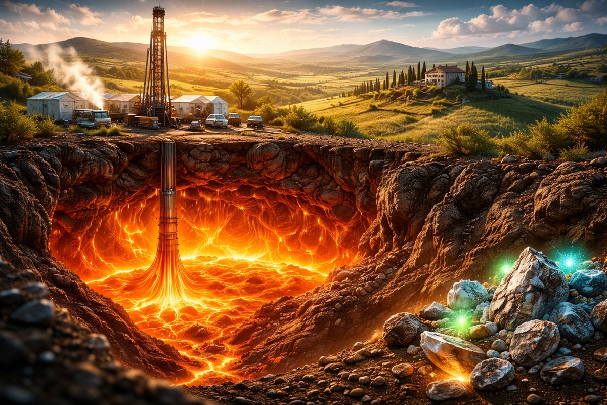
Study published in Communications Earth & Environment detected hidden magma between 8 and 15 km using environmental noise tomography and points to applications in geothermal energy, lithium, and rare earths
A super reservoir of magma with about 6,000 km³ was identified beneath Tuscany, Italy, by a Swiss-Italian team that used a subsurface imaging technique to map melted material up to 15 km deep. The discovery was made by researchers from the University of Geneva, with contributions from Italian institutes of geosciences and geophysics.
The study was published in the journal Communications Earth & Environment and describes how the magma was detected between 8 and 15 km within the continental crust, even without visible signs on the surface, such as craters, ground deformations, or gas emissions.
Why this magma stayed hidden for so long
Giant magma reservoirs are known in places like Yellowstone, Lake Toba, and Lake Taupo, where there are clear surface evidence, such as eruption deposits, craters, ground deformation, and gas emissions.
-
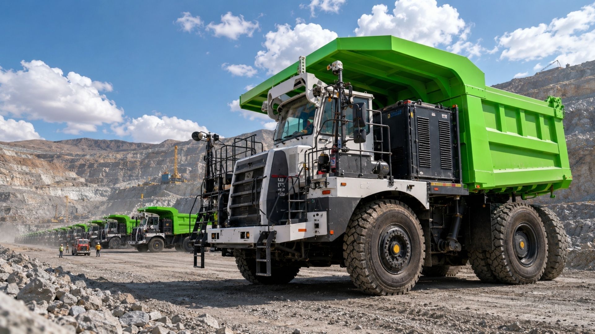
China Develops Custom 140-Ton Electric Mining Truck with 770 kWh Swappable Battery, Deploys 290 Units in Xinjiang’s Largest Zinc Mine

-
Meta to Launch Arena, a New Prediction App Targeting 3.56 Billion Users, Competing with Polymarket and Kalshi

-
Scientist Challenges Famous Human Evolution Theory, Argues Homo Sapiens Evolved Gradually Over Thousands of Years
-
15-Year-Old American Builds Ocean Generator with PVC Pipe and 3D-Printed Propeller for $12, Wins National Prize, Presents at White House, and Makes Forbes 30 Under 30 List


In Tuscany, the scenario is different. Without obvious surface signs, large volumes of magma can remain hidden and go unnoticed for long periods, even in a region with known geothermal activity.
How scientists “saw” the magma at 15 km depth

Image: Article
The magma was identified using environmental noise tomography, a subsurface imaging technique used in seismology. The idea is to take advantage of natural vibrations from the environment, generated by ocean waves, wind, and also by human activity.
These signals propagate through the ground and are recorded by high-resolution seismic sensors installed on the surface. In the study, about 60 instruments were used. When seismic waves move at abnormally low speeds, this may indicate the presence of melted material, such as magma.
What the 3D image revealed about the reservoir beneath Tuscany
With the combined analysis of the records, researchers reconstructed a three-dimensional image of the internal structure of the studied area. The result indicates reservoirs with approximately 6,000 km³ of volcanic fluids at depths of 8 to 15 km, associated with a deep magmatic system.
The authors highlight that the region was already known to be geothermally active, but the amount of magma identified was surprising as it is comparable to that of supervolcanic systems.
Is there a risk of a supervolcano now?
The study emphasizes that, although this body of magma could, in theory, contribute to the formation of a supervolcano over geological timescales, it does not pose a threat at the moment, according to the researchers.
In other words, the discovery is relevant from a scientific and geological perspective, but it has not been described as an immediate risk alert.
Why this discovery could help geothermal energy, lithium, and rare earths
In addition to fundamental research, the authors point out practical applications. Deep magmatic systems are linked to the formation of geothermal reservoirs and also to deposits associated with elements like lithium and rare earths, which enter industrial chains such as those for electric vehicle batteries.
The conclusion of the work also highlights tomography as a tool capable of exploring the subsurface more quickly and at a lower cost, which can support initiatives related to the energy transition.
Do you think that this type of magma mapping should be expanded in other geothermal regions to accelerate the search for energy and strategic minerals?