Portuguese
  Spanish
Cold air mass advances with strong winds, drops temperatures in the South, and may cause frost consecutively over three consecutive dawns.
The first cold air mass with winter characteristics is expected to advance over Southern Brazil starting this Sunday (26), bringing a sharp drop in temperature, moderate to strong winds, and the possibility of frost for three consecutive dawns in areas of Rio Grande do Sul and Santa Catarina.
According to MetSul Meteorologia, the cold air will begin to enter western and southern Rio Grande do Sul between Sunday afternoon and evening, gradually advancing to other regions of Rio Grande do Sul and parts of Santa Catarina throughout Monday (27).
Although the system will have a significant impact on temperatures, the cold air mass is not considered intense, as meteorological models project values between 2ºC and 3ºC at the 850 hPa level, a technical parameter used to assess cold at about 1,500 meters of altitude.
-
A rock weighing almost 500 tons seems to defy gravity for over 11,000 years in Finland and remains balanced on a tiny base without collapsing or moving.

-
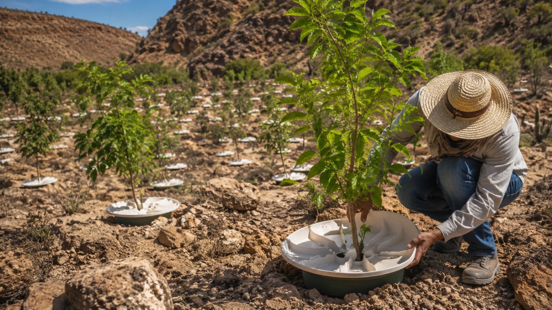
At 76 years old, a retired man reveals a subterranean labyrinth he dug by hand for 30 years under his own garden, descending 6 meters into sand dunes, erecting 1.5-meter concrete walls with calculations from his mathematician wife, and transforming a “crazy” idea into a hidden cave with a bridge and waterfall.

-
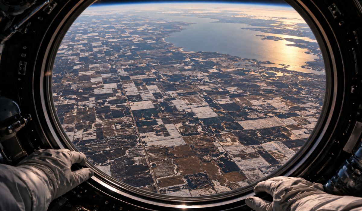
Seen from space, an astronaut captures in Canada a geometric carpet of crops drawn over the backdrop of a ghost lake that disappeared 12,000 years ago, was once larger than all the Great Lakes combined, and left a scar of fertile mud that still sustains agriculture.
-
Billionaire says the most valuable skill will help overcome job elimination caused by AI, following Bill Gates’ fears


In more severe scenarios, this level of the atmosphere usually registers negative temperatures; however, even so, the predicted episode will be enough to cause cold dawns, low minimums in elevated areas, and a typical winter feel for the first time this autumn.
Entry of cold air with wind and change in weather
Driving this change, the formation of a cyclone in eastern Argentina should favor the advance of cold air towards Southern Brazil, directly contributing to the intensification of winds in the initial period of the event.
With this scenario, gusts can reach 50 km/h to 70 km/h, especially in southern and eastern Rio Grande do Sul, increasing the wind chill, particularly in the first hours after the arrival of the air mass.
Initially, the cooling will be more noticeable in western, central, and southern Rio Grande do Sul; however, throughout Monday, the temperature drop will spread across the entire state, while Santa Catarina will begin to register the effects of the colder air.
Colder dawns and minimums near zero
Between Tuesday (28) and Wednesday (29), the cold air will be more consolidated over the region, which should result in the lowest temperatures of the period, with broader and more consistent readings at dawn on these two days.
Much of Rio Grande do Sul should register minimums between 5ºC and 10ºC, but in higher altitude locations, thermometers may drop even further, increasing the potential for more intense cold in specific points.
In these elevated areas, such as the Serra do Sudeste and the Campos de Cima da Serra, minimums between 0ºC and 2ºC are expected, with isolated negative readings not ruled out depending on local relief and soil cover characteristics.
In the capital, Porto Alegre, the Jardim Botânico station should indicate minimums between 10ºC and 11ºC, although neighborhoods in the South and East zones may register lower values, close to 8ºC or 9ºC, depending on microclimatic conditions.
In the Metropolitan Region, minimums should fluctuate between 7ºC and 10ºC on the coldest dawns, with variations associated with altitude, wind presence, cloudiness, and the degree of urbanization of each municipality.
Frost may affect several regions of the South
In addition to the more intense cold at dawn, the forecast indicates the occurrence of frost between Monday, Tuesday, and Wednesday, with the greatest extent of the phenomenon expected between Tuesday and Wednesday, when the cold air will be drier and more stable.
In Rio Grande do Sul, frost tends to affect several regions, especially areas outside Greater Porto Alegre and the North Coast, where atmospheric conditions favor greater nocturnal cooling.
In Santa Catarina, the risk is mainly concentrated in the Southern Plateau, with minimums close to 0ºC or even negative in isolated points, while the Mid-West may register localized occurrences depending on the combination of wind and humidity.
This phenomenon usually forms during the early morning and first hours of the day, when heat loss is more intense and the temperature near the ground drops rapidly, especially in open and lower relief areas.
Afternoons remain mild even with cold dawns
Despite the cold mornings, afternoons are not expected to be intensely cold, as the forecast indicates mild maximums, generally between 15ºC and 20ºC, in many cities throughout Monday and Tuesday.
This behavior reinforces that the cold air mass, although significant for the period, does not present extreme characteristics, as in more intense episodes, temperatures remain low even during the afternoon.
As the days progress, temperatures are expected to gradually rise starting Wednesday afternoon, reducing the intensity of the cold in the following mornings.
Even so, Thursday (30) is expected to start with low temperatures, but with minimums higher than those recorded on previous days, indicating the progressive weakening of the cold air mass.
Southeast experiences more limited effects of the cold front
In Southeast Brazil, the effects of this system are expected to be more discreet, without typical winter cold, despite the passage of the cold front associated with the advance of cold air along the coast.
In São Paulo, the weather change occurs after a period of heat, with increased cloudiness and rain, which tends to reduce maximum temperatures during the first half of the week.
On the other hand, in Rio de Janeiro, the trend is for high temperatures to persist, with less direct influence from the cold air compared to the southern regions of the country.
Thus, the most significant impacts are concentrated in Southern Brazil, where the combination of wind, clear skies, and cold air favors frosty mornings and conditions conducive to frost formation in several municipalities.