
 Portuguese
  Spanish
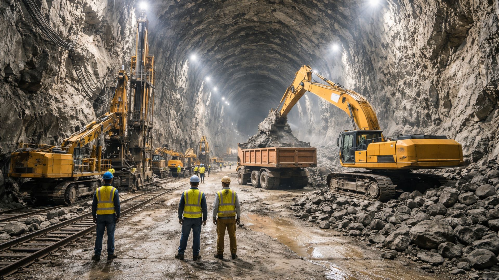
Underground Structure Holds 110 Million Liters of Treated Water Between Santos and São Vicente and Has Been Operating Since 1981 as a Strategic Piece of Supply in the Baixada Santista. Excavated Within a Rocky Massif, the Reservoir Combines Monumental Scale, Energy Efficiency, and Low Urban Exposure.
Hidden in the rocky massif that separates Santos and São Vicente on the São Paulo coast, the Santa Tereza/Voturuá Tunnel Reservoir holds 110 million liters of treated water and remains a central piece of the water supply in the Island of São Vicente, where the two cities are located.
In an urban scenario pressured by population growth, tourism, and seasonal consumption peaks, the structure was designed to reinforce the operational reserve of the system and reduce the risk of shortages when demand rises.
The work began operation in November 1981, after interventions started in the late 1970s.
-
Abandoned Coal Crane at Copenhagen’s Old Port Transformed into Luxury Waterfront Retreat with Spa and Ship Views

-
Couple Sold Everything to Restore a 300-Year-Old Abandoned Mansion, Uncovering Ancient Books and Untouched Rooms
-
Couple Builds Sustainable Home from Straw Bales, Wood, and Clay in Brazil
-
At 64, Grandma Sônia Turned Homemade Recipes into a Family Business, Growing Casa de Bolos to Over 600 Locations and Expanding to Portugal


Underground Reservoir Between the Hills of Santos and São Vicente
The logic of the project stands out because the reservoir does not occupy an open area, like elevated tanks and conventional tanks, nor does it depend on a dam to exist, as it was excavated inside the hills that mark the boundary between the municipalities.
This design also helps explain why it is little known outside the region.

According to information released by entities linked to the sanitation sector, the complex includes more than 1 km of excavations among galleries and storage areas, organized into two chambers, with dimensions reaching about 13 meters in height and 15 meters in width in sections of the reservoir.
In addition to the scale, the underground address changes the level of protection for the stored water, as the structure is less exposed to temperature variations, external interventions, and urban impacts typical of open areas, where the surroundings can change rapidly over the years.
Gravity Distribution Reduces Energy Consumption
Another key point is the elevation of the reservoir, installed about 42 meters above sea level, which allows the distribution of treated water by gravity, without continuously relying on pumping to reach significant parts of the serviced area.
This configuration reduces energy consumption and increases operational efficiency.
This engineering directly connects to the local map: the tunnel-reservoir has access points on both sides, from Santos and São Vicente, and connects to the system that receives treated water from the regional station, functioning as storage reinforcement and pressure balance.

In recent communications and institutional materials, the operation is described as part of the interconnected system of the Baixada Santista, with a direct impact on Santos and São Vicente and a reinforcement role for other municipalities according to the distribution arrangement, especially during high consumption periods.
Work Started in the 1970s to Face Water Pressure
The context that led to the project dates back to the late 1970s when the reservoir infrastructure in the region needed to grow to keep pace with urban expansion and pressure on the supply, especially during the summer seasons when demand increases, and the system requires a safety margin.
In light of this situation, the underground alternative gained traction as it offered a high-capacity solution in a territory with hills, dense areas, and space limitations to install elevated reservoirs and new tanks, in addition to reducing the equipment’s exposure to external interferences.
The excavation into rock required technical planning and safety control, as is customary in large-scale underground works, with stages for opening galleries, removing material, and performing coatings aimed at preserving the quality of the stored water.
Although the work took place more than four decades ago, the operation remains active.
Capacity of 110 Million Liters Ensures Strategic Reserve

In practice, the 110 million liters represent a reserve capable of cushioning consumption peaks and maintaining stability in supply, especially when the system needs to meet both permanent residents and temporary population increases, a common scenario in coastal cities.
Estimates released in public materials indicate daily service to around hundreds of thousands of people, with figures close to 800,000 between Santos and São Vicente, in addition to reinforcing supply in areas of other municipalities according to regional interconnection, without this meaning exclusive supply to all of them.
The structural robustness also appears as a recurring argument in the descriptions of the project, as the rock formation itself serves as a protective and supportive element, reducing common vulnerabilities of exposed reservoirs and preserving the landscape of the hills, with a much smaller visual impact than an equivalent surface structure.
Despite its size, the reservoir usually appears to the public only during specific periods, when there are controlled visitation actions and inspections, a practice that has already been recorded in municipal and local tourism disclosures, which helps explain why it remains unknown to many outside the Baixada.
Even with other large water infrastructures in the country, the model adopted in Santa Tereza/Voturuá continues to be cited as unique for combining high capacity, underground implementation, and gravity distribution in a coastal urban area, a set of factors that is not common in more recent projects.
If a reservoir of this size has been operating for decades, almost hidden between two municipalities, what other discreet and high-impact solutions might still exist in the infrastructure of Brazilian cities?


Dá até aflição saber que esse recurso foi privatizado