Portuguese
  Spanish
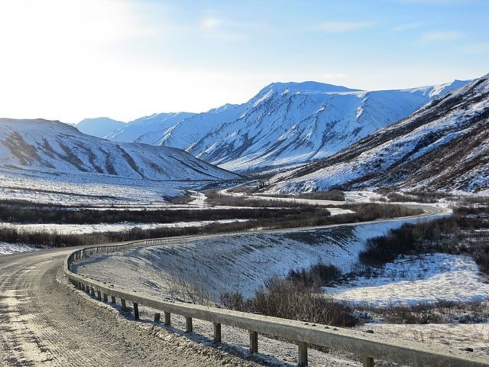
With 666 km of extension, the Dalton Highway crosses remote areas of Alaska and exposes drivers to hostile weather, few villages, and unpaved stretches
With 666 kilometers in length, the Dalton Highway is recognized for bringing together extreme conditions that shape each trip because it crosses a remote environment of Alaska. This feature reinforces its reputation as a challenging route for any driver.
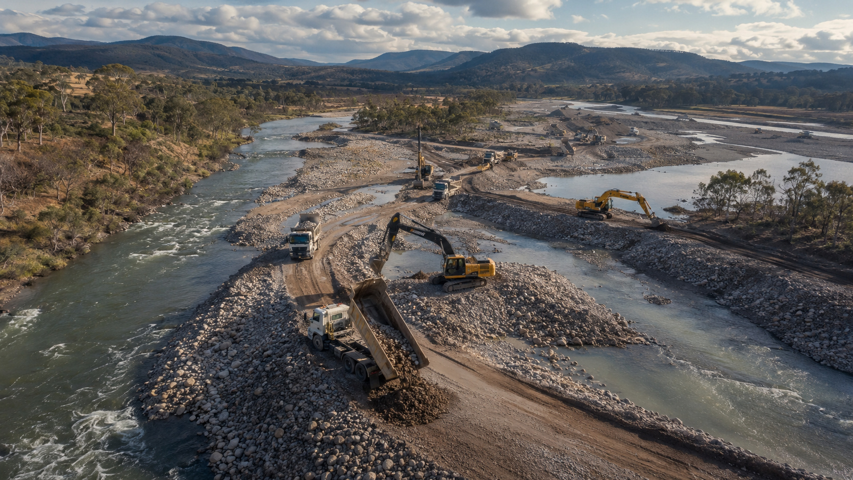
The road follows the Trans-Alaska Pipeline and maintains an essential function for energy infrastructure.
Origin and Characteristics of the Route
Created in 1974, the route emerged as a service road to support the construction of the pipeline, so its structure has always prioritized heavy use.
-
15-Year-Old Entrepreneur Malu Lira Publishes 20 Children’s Books on Financial Education, Earns $500,000, and Expands Her Project to the Amazon Rainforest

-
Entrepreneur Turns Rio Cemetery Canteen into a Successful Snack Chain Generating $4.9 Million Annually and Expanding to Metro Stations

-
Rare fox feared “extinct” found alive on Caribbean island after over two decades without official sightings

-
21-Year-Old Brazilian Student Turns Homemade Popsicle Hobby into $100,000-a-Month Business


In 1994, it was opened to the public, but the rustic appearance remained dominant throughout the stretch.
The precariousness appears in the long stretches without asphalt, as approximately three-quarters of the route are covered with gravel that turns to mud during thawing or becomes solid ice in winter.
This alternation makes driving unpredictable and exhausting. The isolation complements the difficult scenario.
Between Coldfoot, Wiseman, and Deadhorse, there are no basic services, so each driver needs to bring extra fuel, food, and thermal gear.
A simple breakdown can turn into an emergency because rescue responses are delayed in such remote areas.
The Weight of Climatic Conditions
The weather imposes severe conditions. In winter, temperatures can reach -65ºC, and visibility can completely disappear.
Moreover, even in summer, trucks raise clouds of dust and stones that hit smaller vehicles and damage windshields.
One of the most feared stretches is Atigun Pass. Located at 1,463 meters, it marks the highest point of the route and requires absolute control from drivers because steep inclines increase the risk of accidents with ice. Avalanches are also part of the routine in this sector.
Strategic Function for Alaska
Even with so many obstacles, the Dalton Highway supports the supply of oil fields in Prudhoe Bay.
Therefore, trucks continue to circulate daily, ensuring the delivery of materials and keeping operations active during the harshness of the seasons.
This dependence reinforces the road’s relevance. It remains vital for the economic functioning of the state, in addition to symbolizing the resilience of the communities that work in one of the harshest environments in North America.
A Permanent Challenge
The crossing remains challenging. Many drivers report that each journey demands constant attention because the terrain changes rapidly, and any oversight can lead to serious consequences.
Therefore, proper preparation is essential to avoid setbacks in remote areas.
Still, the road continues to attract travelers seeking to experience unique Arctic landscapes and understand the routine of truck drivers who keep the supply flow active.
This curiosity helps keep the Dalton Highway in the spotlight, even in the face of so many current risks.
With information from Autopapo.