Portuguese
  Spanish
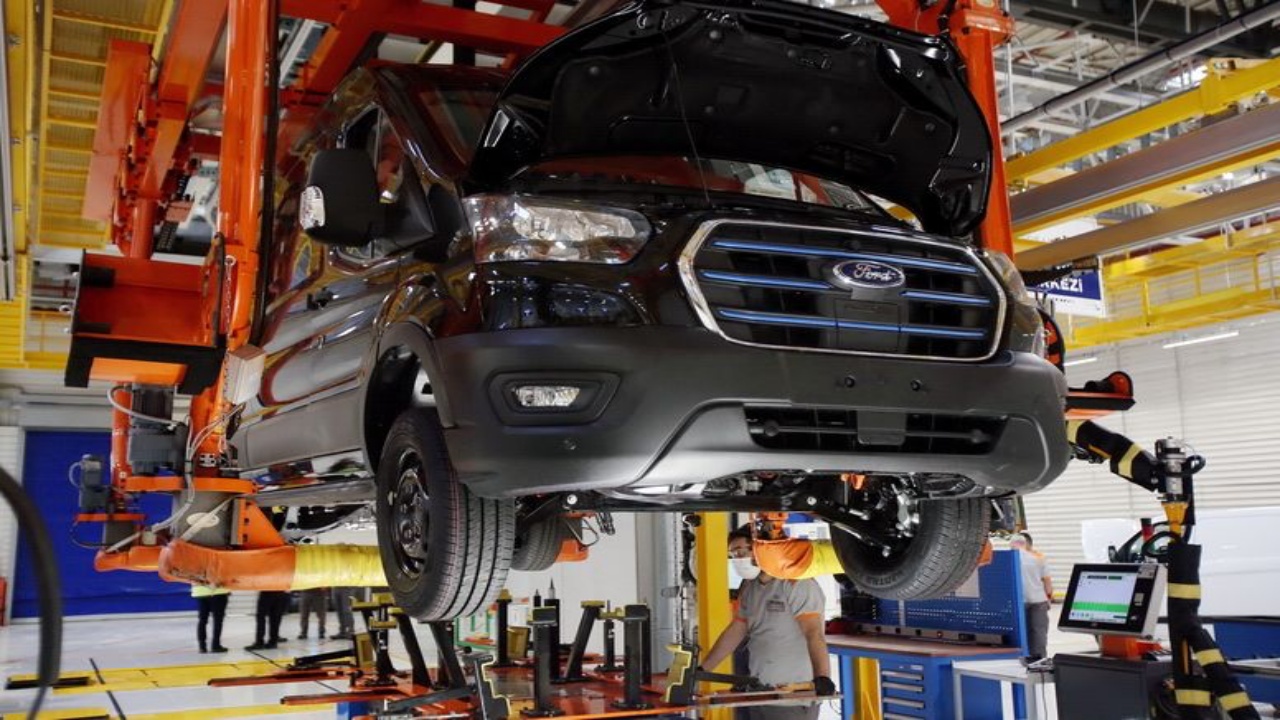
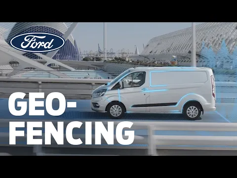
Geofencing Technology Tested by Ford That Defines the Boundaries of the Real World in the Virtual World Allows Cars to Slow Down in School and Hospital Areas!
New technology tested by the multinational vehicle manufacturer Ford allows cars to slow down near school and hospital areas. Studies conducted in the city of Cologne, Germany, make geofencing technology more present in daily life.
The goal of the American company is for cars to reach lower speeds near restricted areas, as they believe this technology can reduce fines and accidents due to speeding.
Watch the Video Below and Check Out This Technology Tested by the American Vehicle Manufacturer That Promises to Reduce Fines and Traffic Accidents!
An important point to emphasize is that, in addition to the already mentioned benefits, we also have the factor of visual pollution, which will be much lower. The idea is for traffic signs to be removed as adaptation to geofencing occurs, especially since some signs already pose a significant obstacle while driving, as they can be hidden.
-
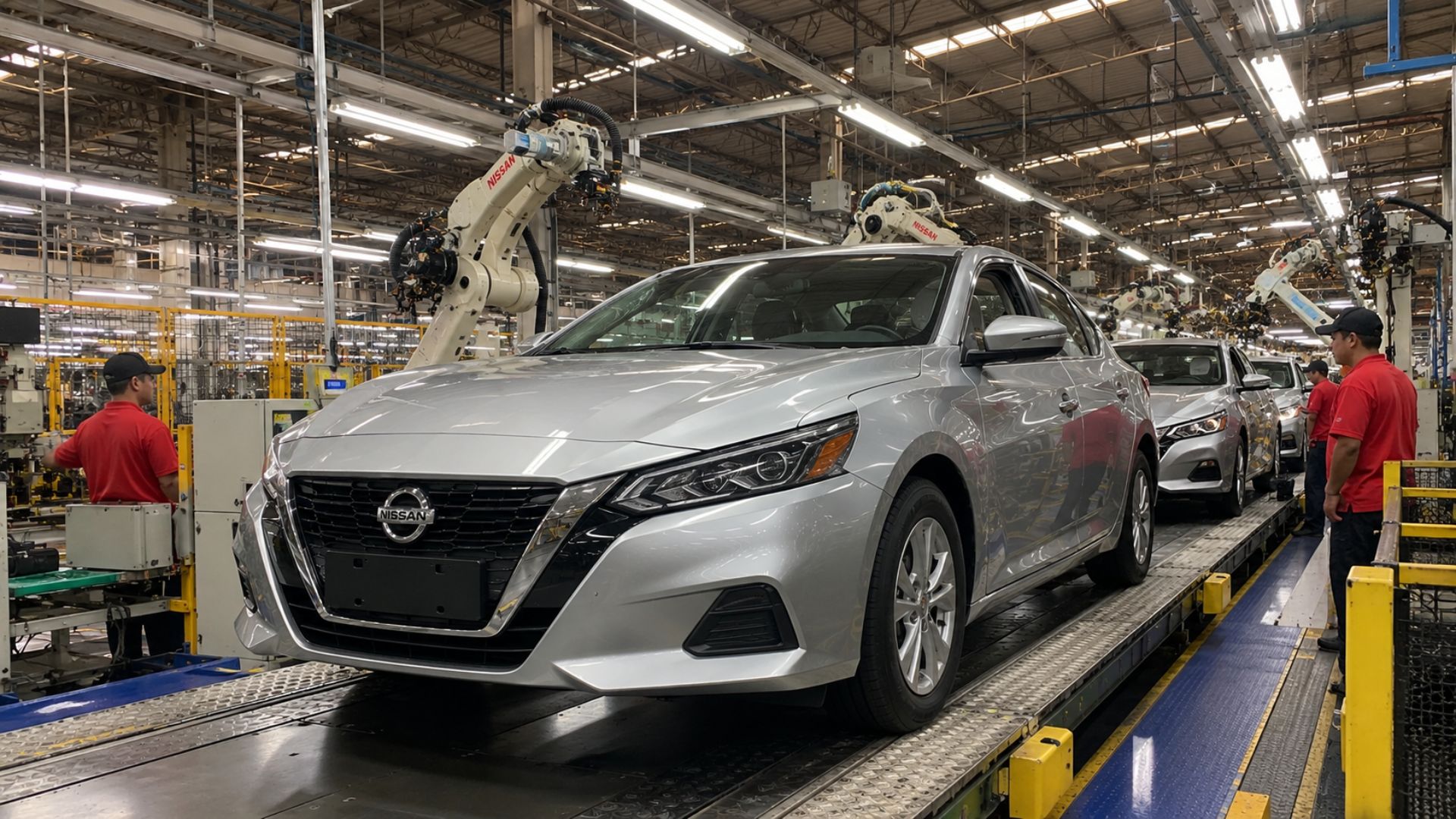
End of an era in Brazil: beloved sedan by Brazilians is discontinued despite having a 2.0 engine with 151 hp, CVT transmission, 466-liter trunk, and up to 650 km of range.

-
New Law Proposal in Brazil Could Heavily Penalize Drivers: Dangerous Overtaking May Become a Serious Offense with Fines Increased Tenfold and a 12-Month License Suspension; Update on 2026 Progress

-
Electric Revolution: Watts W125 Motorcycle Offers 160 km Range, 90 km/h Speed, and Affordable Price Starting at $3,000
-
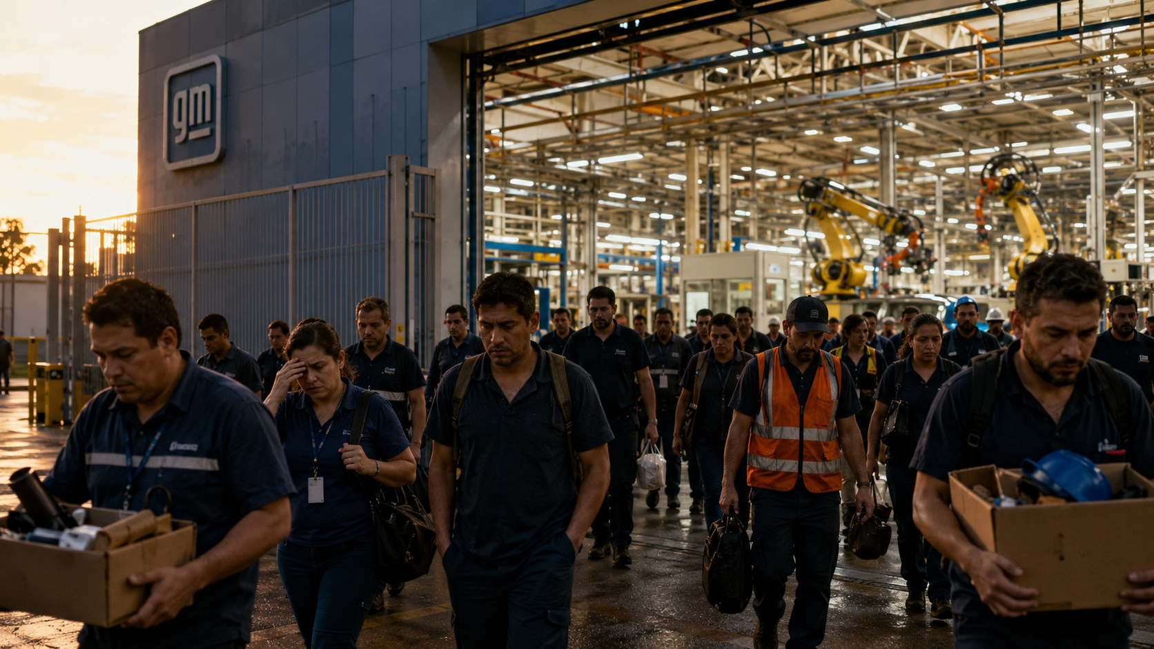
General Motors Replaces Over a Thousand Workers with 50 Cobots at Electric Vehicle Plant, UAW Union Criticizes Move Amid Industry’s Automation Push


The tests will last about 12 months, and the speed should vary from 30 km/h to 50 km/h, depending on the area.
Geofencing Technology Is Being Tested in Ford E-Transit Electric Vans
Geofencing is being tested in two Ford E-Transit electric vans in Cologne, Germany. In theory, the project would be something quite close to autopilot, but according to Ford it is something “potentially more flexible and effective.”
More practically, the geofencing used by Ford employs GPS or radio frequency, which define the boundaries of the real world in the virtual world, meaning specific regions can be marked for certain alerts or interactions.
Applying to Ford’s case, areas with higher pedestrian or hospital traffic, for example, are determined by the company and tracked by GPS. Once associated with the new technology, the vehicle automatically slows down.
Another important point to mention is that Ford’s future plans consist of transferring the power to determine areas to the drivers themselves, making the technology more flexible and adaptable to daily life.
Ford’s projects go far beyond this: new ways to reduce pollution generated by vehicles, improving air quality, and the possibility of connecting traffic lights so that public services can navigate the city more fluidly and thus help the population in a more practical way are being studied.