Portuguese
  Spanish
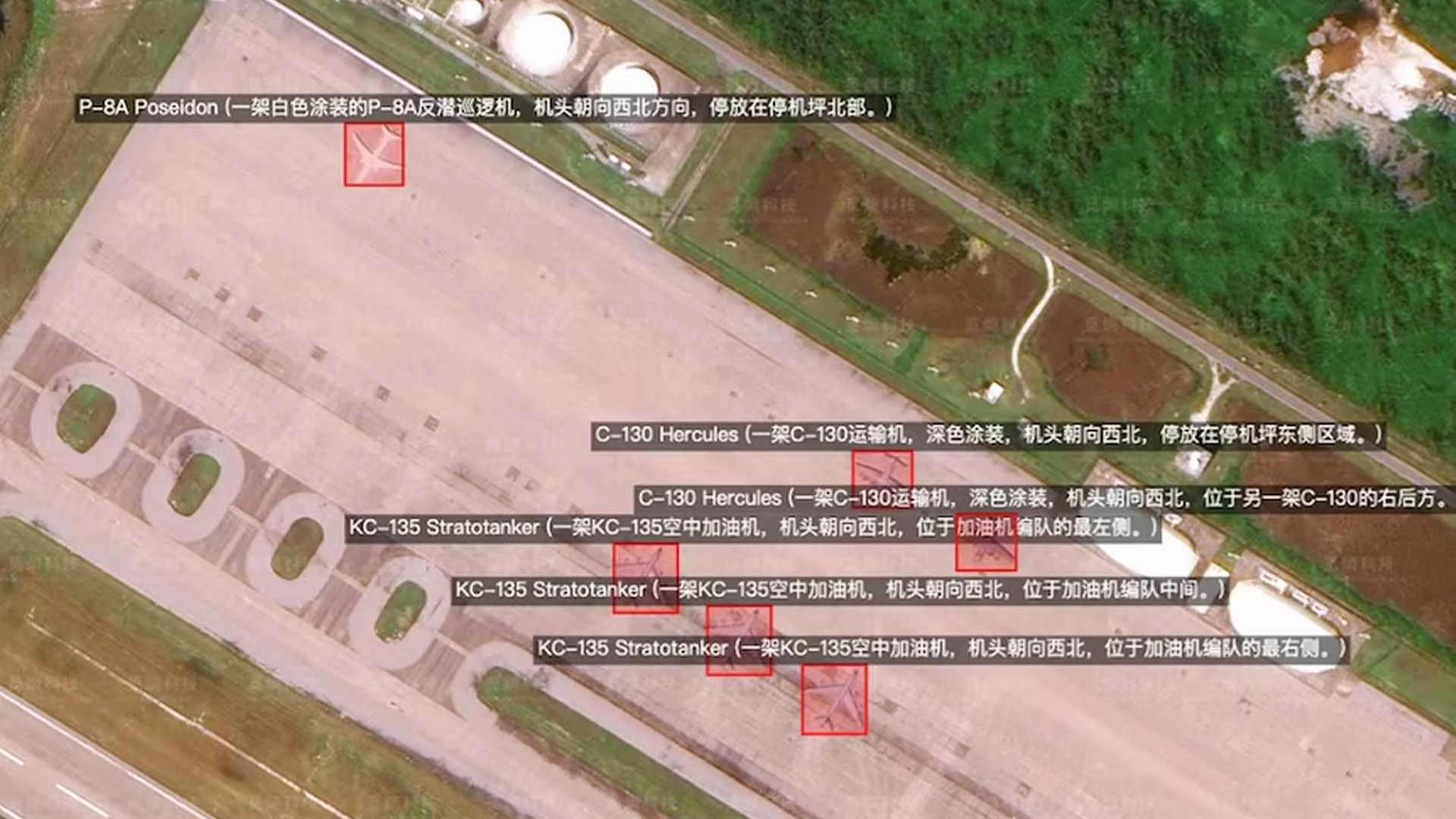
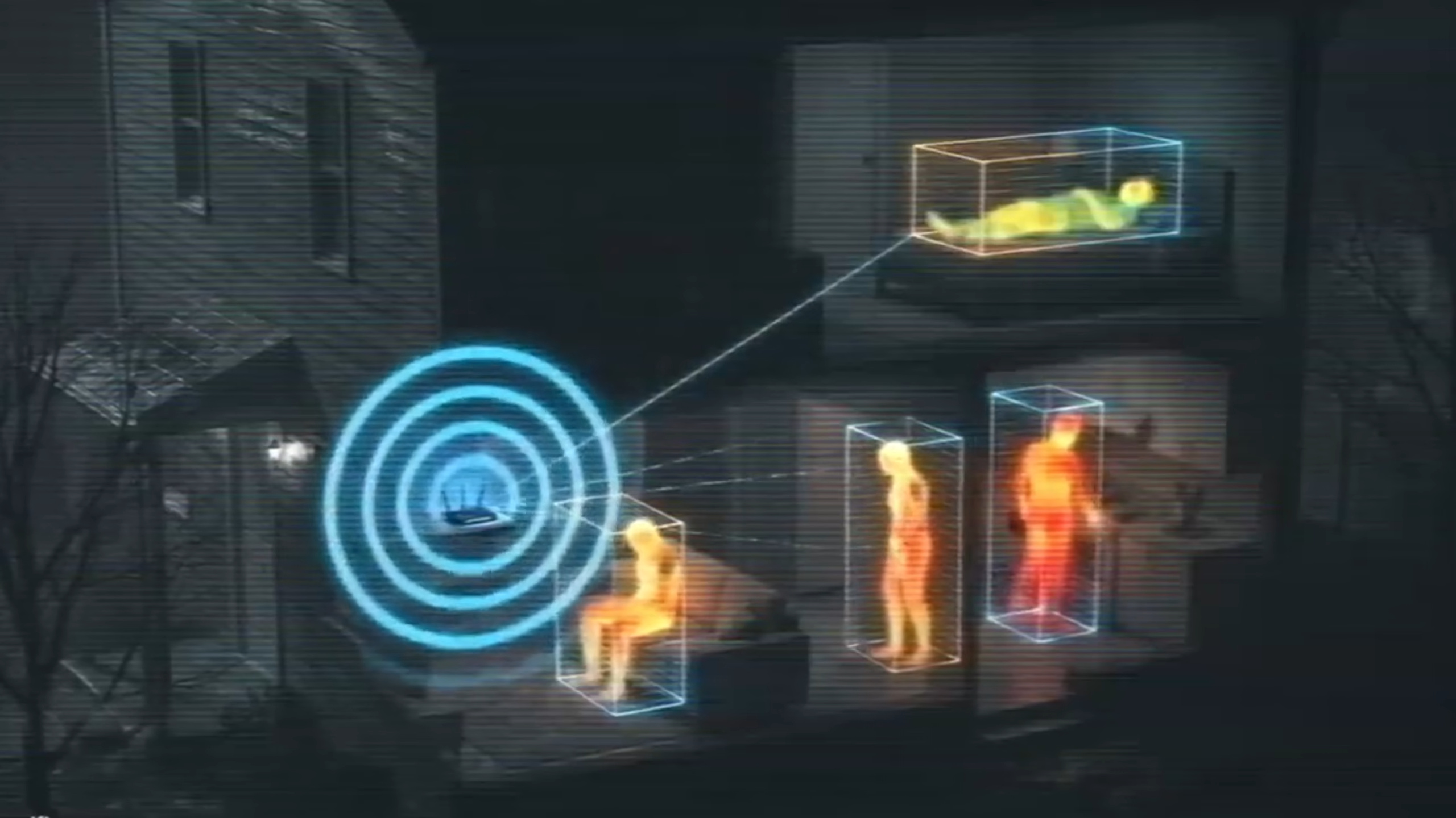
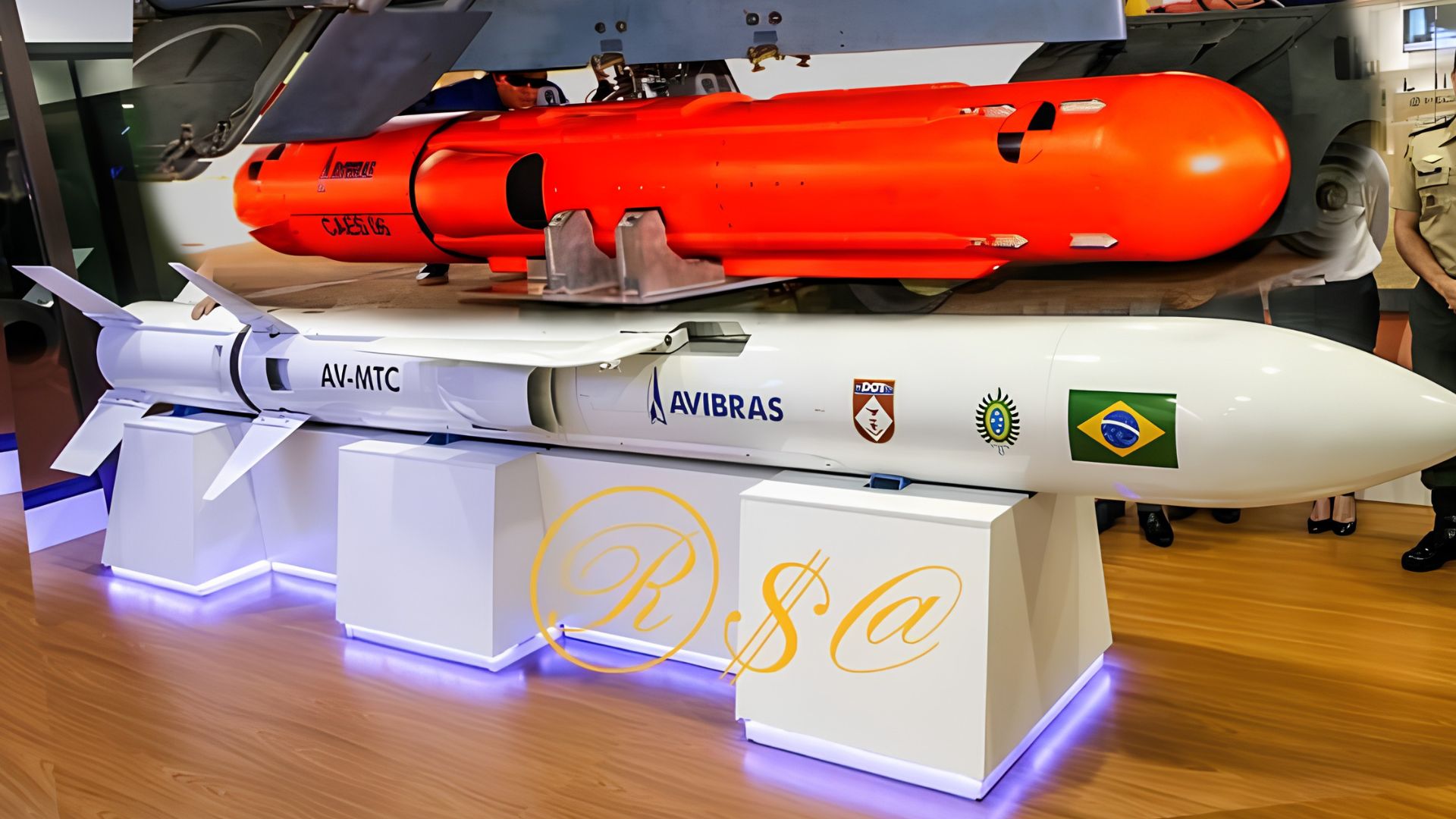
The use of Chinese satellite images enhanced by artificial intelligence by Iran to plan attacks against U.S. bases in the Middle East exposes a shift on the battlefield, with commercial data accelerating the identification of military targets and raising the risk for troops, equipment, and strategic installations
The use of Chinese satellite images enhanced by artificial intelligence by Iran has raised the alert of U.S. defense authorities following the identification of a new pattern of support for planning attacks against American bases in the Middle East. The technology, linked to the Chinese company MizarVision, allows for the location of bases, equipment, and military infrastructure in minutes.
Satellite images accelerate target selection
Information cited by U.S. defense intelligence and released by ABC News on April 5, 2026, indicates that Iranian military units have begun using this data to enhance the accuracy of missile and drone attacks. The assessment is that this capability reduces the steps between data collection and the execution of offensives.
American authorities state that the Islamic Revolutionary Guard Corps of Iran is among the groups using the datasets. This advancement increases the risk to U.S. personnel and assets by transforming commercial geospatial intelligence into a practical combat tool.
-
Bioengineer Develops Microscope That Magnifies Objects Up to 2,000 Times Using Just a Folded Sheet of Paper, a Tiny Lens, and Less Than $1, Bringing Lab Science Anywhere for Less Than the Cost of a Candy

-
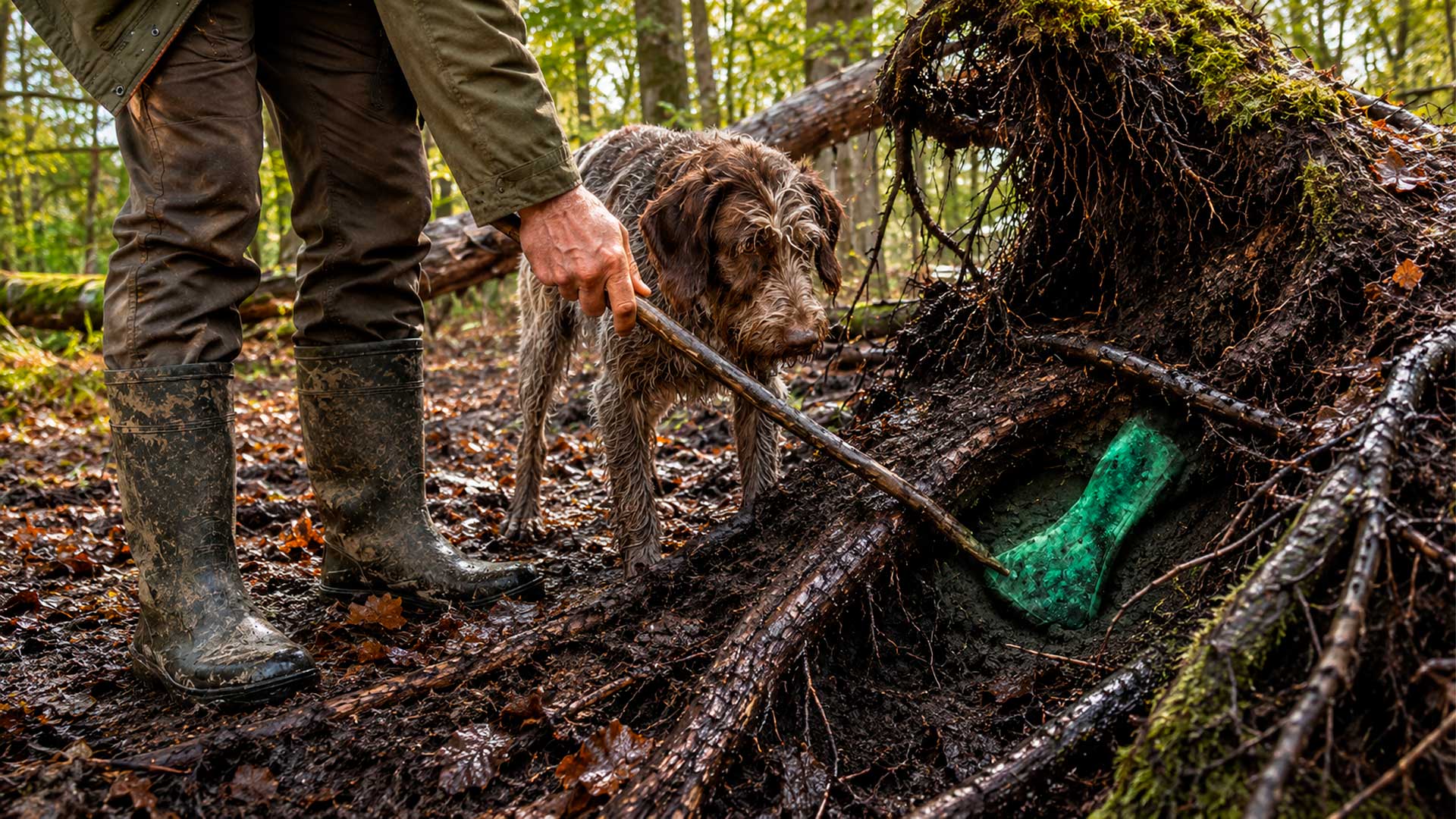
Dog Walker in English Forest Uncovers 3,400-Year-Old Bronze Age Axe
-
Texas Blackout Inspires Student to Develop Bionic Leaf Catalyst for Converting Sunlight, Water, and Bacteria into Fuel

-
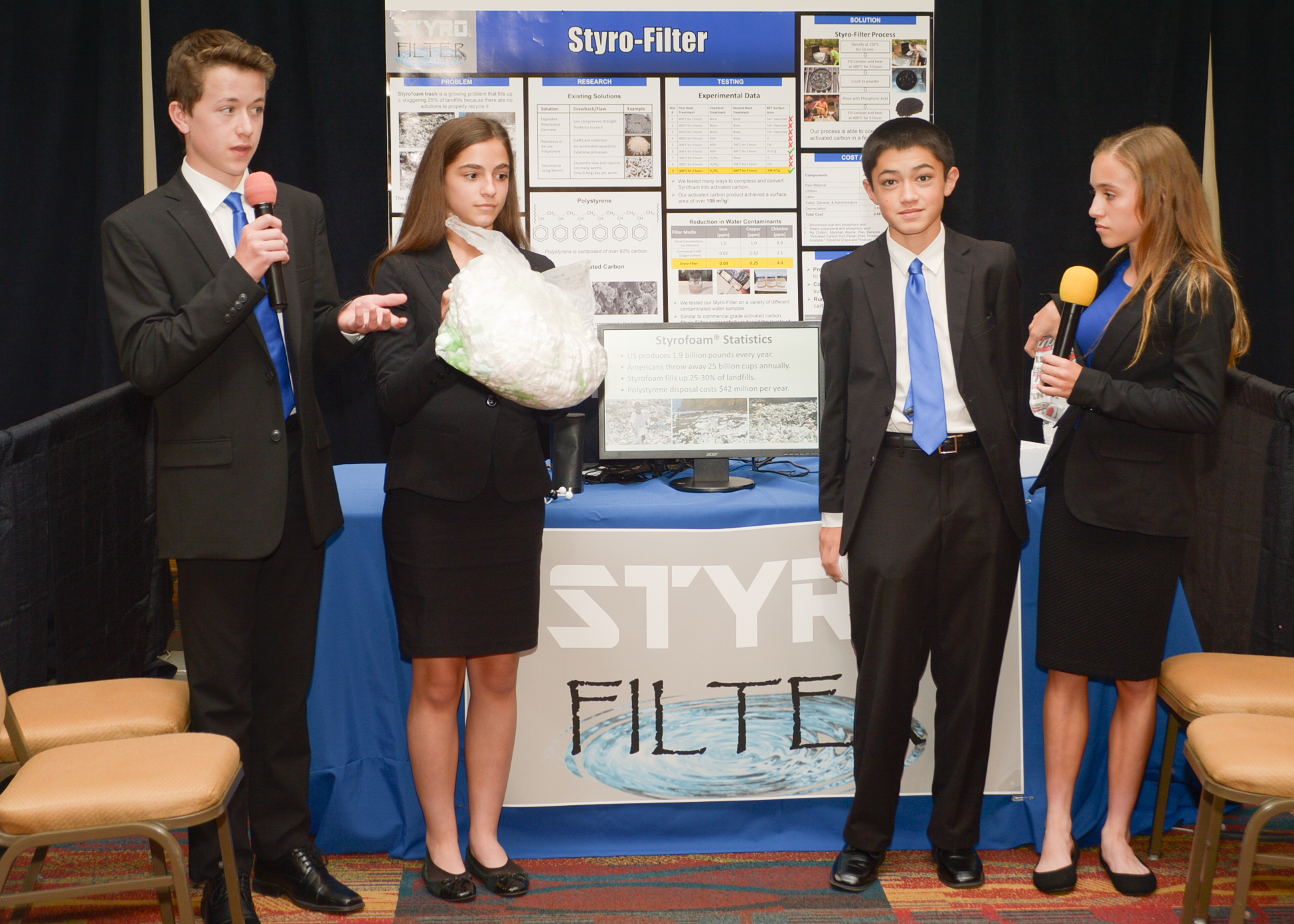
Brazilian Students Develop Process to Turn Styrofoam Waste into Water-Purifying Charcoal


How AI strengthens the use of satellite images
MizarVision offers high-resolution satellite images with automatic annotations of military assets, infrastructure, and logistical points. The platform can identify aircraft, reinforced shelters, fuel depots, radars, and troop concentrations over large areas.
The system uses machine learning trained with military signatures and classifies objects based on shape, heat patterns, and context. The markings also include geospatial metadata, which facilitates integration into command and control systems.
Strategic pressure on U.S. forces
This type of intelligence reduces Iranian dependence on its own reconnaissance and makes attack planning more precise. Even commercially sourced images gain operational value when they are aggregated, tagged, and shared quickly.
For the U.S. and its allies, the scenario indicates a loss of effectiveness of traditional measures such as camouflage, reinforced shelters, and emission control.
The automated reading of satellite images allows for tracking patterns, predicting activities, and locating high-value targets, increasing the vulnerability of fixed installations and reinforcing the weight of information as a weapon on the battlefield.