Portuguese
  Spanish
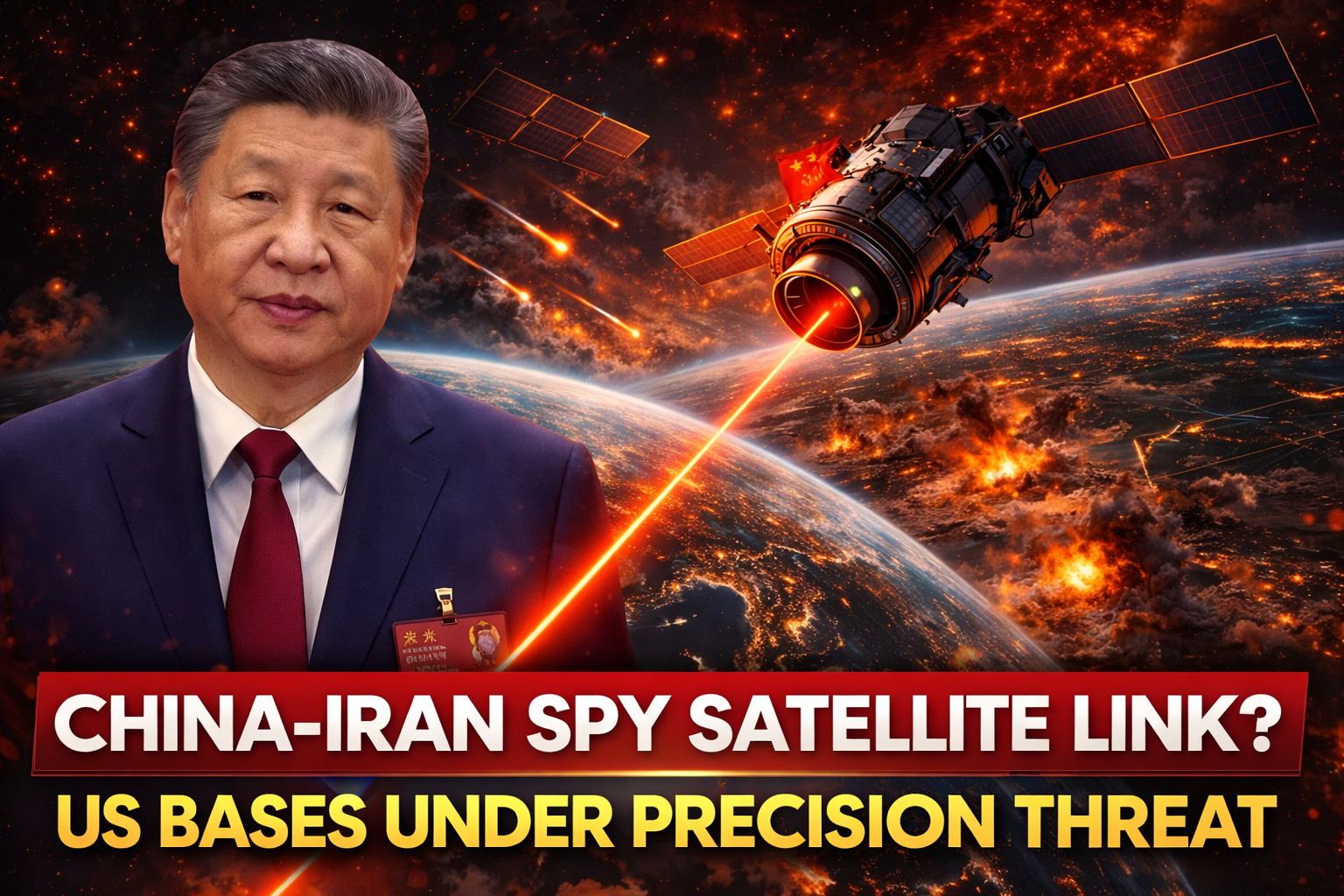
Advanced technology and billion-dollar deal expand Iranian military power and raise global tension over espionage and modern warfare
Amid rising geopolitical tensions in the Middle East, new revelations indicate that Iran has made a significant leap in its military capability by using a Chinese spy satellite to monitor and attack U.S. bases with a high level of precision. The operation, considered strategic and highly sensitive, reportedly involved a secret investment of $36.6 million, expanding the reach of Iranian military actions in the region.
The information was disclosed by the Financial Times, based on leaked Iranian military documents, which detail the technical and operational aspects of using the satellite identified as TEE-01B. According to the report, the equipment was acquired in late 2024 by the Islamic Revolutionary Guard Corps (IRGC), consolidating a new phase in the technological warfare being waged between global powers.
Satellite TEE-01B enabled real-time monitoring with unprecedented accuracy

Furthermore, the TEE-01B satellite was manufactured and launched by the Chinese company Earth Eye Co, bringing unprecedented capability to Iran. Unlike previous technologies, the equipment can capture images with a resolution of approximately half a meter, a significant advancement compared to the Noor-3 satellite, which had a range of about 5 meters.
-
Ancient Ritual Circle, Hidden for 5,000 Years, Discovered in Scotland’s Machrie Moor Using Sensors, Revealing a “Phantom Stonehenge”

-
Engineers Develop Fridge-Sized Machine to Produce 95-Octane Synthetic Fuel from Air and Water, Aiming to Sustain Combustion Engines Without Oil
-
Two-Armed Robot Uses AI to Reassemble Destroyed Pompeii Frescoes, Solving an “Impossible” Puzzle
-
New Law in Brazil Requires Breaks for Type 1 Diabetes Management at Work, School, and Public Exams


With this evolution, Iran has been able to identify aircraft, monitor military movements, and map activities at strategic bases with a level of detail close to that of the best commercial technologies in the West. Consequently, this precision has significantly increased the offensive and intelligence potential of the country.
According to the analyzed documents, Iranian military commanders used detailed lists of coordinates with date and time records, as well as orbital analyses and images captured at key moments. The information was used before and after drone and missile attacks, indicating a coordinated and strategic use of the system.
American bases were monitored before drone and missile attacks
In this context, the satellite reportedly recorded images of Prince Sultan Air Base in Saudi Arabia on March 13, 14, and 15. On March 14, then U.S. President Donald Trump confirmed that American aircraft had been hit, including five damaged refueling planes.
In addition, the TEE-01B also monitored the Muwaffaq Salti Air Base in Jordan, as well as areas near the headquarters of the U.S. Fifth Fleet in Manama, Bahrain. Similarly, Erbil Airport in Iraq was among the locations tracked by the system, all related to attacks claimed by the Islamic Revolutionary Guard.
At the same time, the surveillance was not limited to military targets. Strategic civilian infrastructures were also monitored, including the Khor Fakkan container port and a desalination plant in the United Arab Emirates, further expanding the geopolitical reach of the operation.
Chinese infrastructure and global network expanded the system’s reach
On the other hand, the operation of the system did not rely solely on the satellite. Ground infrastructure was provided by Emposat, a company based in Beijing, whose network extends across Asia, Latin America, and other regions of the world. This support ensured the control, processing, and distribution of the captured data.
Furthermore, Emposat was identified in reports from the China Committee of the U.S. House of Representatives as having links to the Aerospace Force of the People’s Liberation Army. The company was founded by Richard Zhao, who worked for 15 years at the Chinese Academy of Space Technology, reinforcing the strategic connections involved in the project.
The complete agreement, valued at around 250 million renminbi (equivalent to $36.6 million), included not only the satellite but also the launcher, technical support, data infrastructure, and international services, highlighting the complexity and level of investment of the operation.
China denies involvement and diplomatic tension rises
However, following the disclosure of the information, the Chinese government reacted quickly. The spokesperson for the Chinese Ministry of Foreign Affairs, Lin Jian, described the accusations as “pure fabrication” and warned that the country may adopt countermeasures if the United States proceeds with sanctions or tariffs based on these allegations.
Meanwhile, the Chinese embassy in Washington reinforced the official position, stating that Beijing opposes the dissemination of information considered speculative. Still, neither the Chinese ministries, nor Earth Eye Co, nor Emposat directly responded to requests for clarification made by Reuters.
Experts point to a strategic leap in modern warfare
In light of this scenario, experts assess that the use of the satellite represents a significant advancement in Iranian military strategy. According to Jim Lamson, a former CIA analyst specializing in Iran, the combination of high-resolution imagery with human intelligence and data from other sources creates an extremely powerful tool for military planning.
Therefore, this type of technology not only increases the precision of attacks but also transforms the dynamics of modern warfare, making operations more coordinated, efficient, and difficult for adversaries to anticipate.
Moreover, it is worth noting that this is not the first time Chinese companies have been associated with the provision of strategic imagery in conflicts in the Middle East. Previous reports have already pointed out the use of similar technology by other groups in the region.
Technological escalation could redefine global balance
Finally, the revelation comes at a particularly sensitive moment, days after threats from the U.S. government to impose tariffs of up to 50% against China if the provision of military systems to Iran is proven. At the same time, President Xi Jinping made his first public comments on the conflict, advocating for respect for international law.
Thus, the use of spy satellites and advanced technologies not only intensifies the military dispute but also increases the risk of a global escalation involving major powers. Therefore, the episode reinforces that modern warfare is not limited to the physical field but also extends to space and the domain of information.