Portuguese
  Spanish


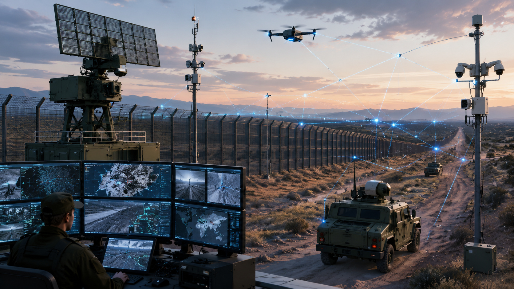

Brazil uses SISFRON to monitor 16,886 km of borders with sensors, radars, communications, and decision support from the Brazilian Army.
Brazil attempts to transform one of the largest land borders in the world into an area monitored by military technology, sensors, radars, critical communications, and decision support systems. The basis of this project is the SISFRON, Integrated Border Monitoring System, a strategic program of the Brazilian Army aimed at monitoring and controlling the land border strip.
According to the Ministry of Defense, the country shares 16,886 kilometers of land borders with ten countries, in areas that include stretches of the Amazon, the Pantanal, and the Southern region. The ministry itself describes this extension as a logistical and geographical challenge that requires advanced and integrated technological solutions.
SISFRON creates a military network to monitor almost 17 thousand kilometers of Brazilian land border
The “digital wall” is not a physical barrier. It is a network of sensing, communication, command, and control created to give the Brazilian Army more capacity to monitor the border in real-time and support operational decisions.
-
China Unveils Laser Weapon Capable of Instantly Neutralizing Military Drones, Marking a Significant Advancement in Air Defense Technology

-
U.S. Navy’s Ticonderoga-class Cruiser Becomes a 9,800-Ton Missile Fortress with Advanced Aegis System Capable of Tracking Hundreds of Targets

-
France’s Charles de Gaulle: The Sole Nuclear-Powered Aircraft Carrier Outside the US, Weighing 42,500 Tons and Equipped with Two Atomic Reactors

-
The military spaceplane that almost took the Cold War into orbit: Boeing X-20 Dyna-Soar was designed to re-enter above Mach 20, fly for up to 40 hours, land like a plane, and transform Titan rockets into a gateway to a new era of orbital warfare.




The Ministry of Defense reports that SISFRON uses technologies of sensing, operational support, and decision-making support to strengthen the State’s presence in border regions. The system is also associated with the reduction of cross-border illicit activities, environmental preservation, and protection of indigenous communities.
The scale of the program explains the size of the investment. SISFRON is organized in implementation phases called Sensing and Decision Support Projects, which extend for almost 17 thousand linear kilometers, with a strip of 150 kilometers into the country’s interior, covering 570 municipalities in 11 Brazilian states.
Sensors, Ground Radars, and Communications Transform the Border into a Data System
The program’s goal is to equip the Army with the necessary means to monitor and control the land border strip with the support of sensors, processors, actuators, and other technological means, ensuring a fast and secure flow of information for command and control at different levels of the Land Force.

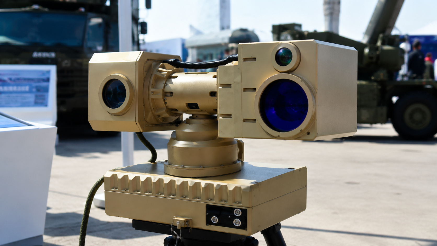
The Sensing and Decision Support Project involves the acquisition, integration, and operation of ground surveillance radars, thermal and optical sensors, information technology, and communications infrastructure.
This shows that SISFRON is not just a purchase of isolated equipment, but a connected monitoring architecture.
In 2026, the Army described SISFRON as one of the largest defense programs in the world and reported that the system integrates sensors, decision-makers, operators, and other technological means. Among the equipment mentioned are optronics, mobile radar, thermal binoculars, portable radios, fixed stations, and vehicles equipped with radars.
System Originated in Mato Grosso do Sul and Advances to Other Border Regions
SISFRON began with a pilot project in the area of the 4th Mechanized Cavalry Brigade, in Dourados, Mato Grosso do Sul.
The Ministry of Defense records the implementation of Phase 1 on November 27, 2012, with development for more than ten years and a closing process for having achieved the objectives.

The Army also reports that the system was launched with a pilot operation in Dourados and, since then, its equipment has been used in operations on the border strip, such as operations Ágata and Atlas.
On the western border, the Army stated in 2024 that SISFRON monitored 1,833 kilometers in the states of Mato Grosso do Sul and Mato Grosso, using communication sites with high data transmission capacity to connect the Western Military Command to military organizations on the border strip.
Brazilian border becomes military, environmental, and public security challenge
The Brazilian land border crosses areas of low population density, regions of difficult access, and sensitive corridors for cross-border crimes. Therefore, SISFRON was structured to go beyond traditional military surveillance.
The official program design includes sensing and decision support, operational support, and engineering works.
The expected results involve improved territorial monitoring, environmental protection, increased state presence in the border strip, and strengthened capacity to operate in remote areas.
Brazil is not just trying to watch a line on the map. It is trying to connect troops, sensors, communications, intelligence, and decision-making in a continental strip that passes through forests, rivers, wetland areas, twin cities, roads, legal routes, and corridors used by illegal activities.
System already operates in actions against cross-border illicit activities, but still depends on expansion and budget
The Army states that SISFRON is fully operational in Mato Grosso do Sul and in the expansion phase in Mato Grosso, with plans to cover the entire Brazilian border. The same publication says that the system serves not only the Army and the Armed Forces but also other agencies that benefit from this information.

During Operation Ágata Oeste 2024, SISFRON data was used by the intelligence sector to plan and execute missions aimed at combating cross-border crimes. The Army also cites the use of the system for reducing illicit activities, environmental preservation, and protection of indigenous communities.
But progress is not automatic. Monitoring report of the PPA 2024-2027, published by the Ministry of Defense, recorded that the execution rate of the Army’s programs and projects reached 48% on December 31, 2025, below the expected target of 51% for 2025, citing budget cuts and blocks as the reason for the lower-than-expected performance.
Brazilian digital wall shows how border defense entered the data era
The SISFRON shows a clear change in the way Brazil tries to protect its land border. The military presence still exists, but it increasingly relies on sensors, secure data transmission, command and control, critical communications, and the ability to transform information into quick decision-making.
The 16,886-kilometer border cannot be monitored solely with physical presence. Therefore, the project aims to create a technological layer over the territory, connecting military units and enhancing the Army’s situational awareness.
The Brazilian wall is not made of concrete. It is made of radar, sensor, fiber, radio, vehicle, software, and decision. And, on a border that crosses ten countries, this can be one of the most silent disputes of national defense.