Portuguese
  Spanish




Recent Study Identifies Previously Unknown Rock Formation, Alters Explanations About the Elevation of Bermuda and Broadens Knowledge About Deep Earth Processes
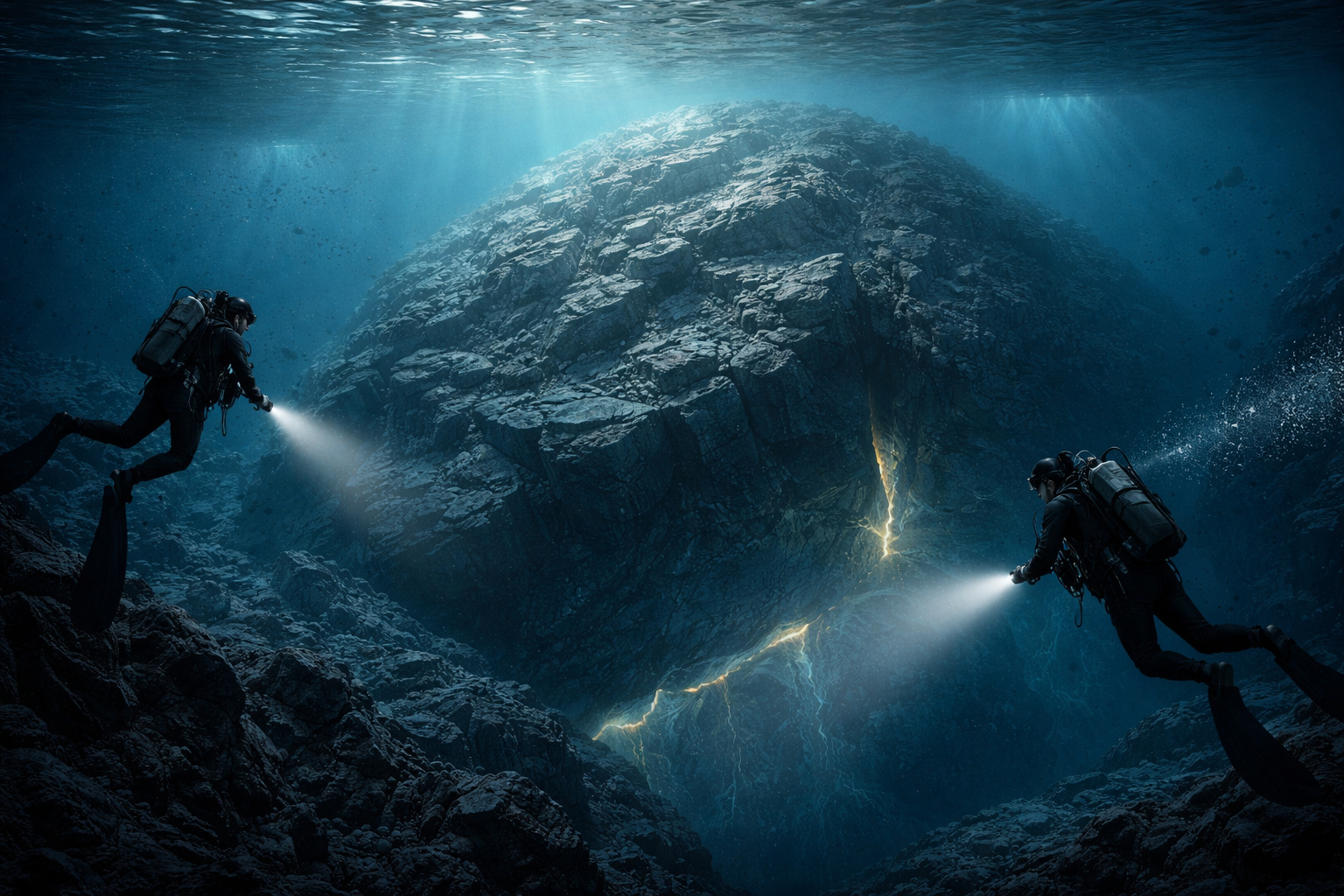
A significant scientific discovery was announced in November 2025, attracting international attention to the region known as the Bermuda Triangle. Researchers identified a massive and unusual rock structure, located beneath the oceanic crust near the island of Bermuda in the North Atlantic. The finding was presented in a study published in the scientific journal Geophysical Research Letters, led by William Frazer from Carnegie Science and Jeffrey Park from Yale University. Since then, the discovery has begun to reorganize established interpretations regarding the geological formation of the area.
The analysis revealed a rock layer about 20 kilometers thick, positioned between the oceanic crust and the Earth’s mantle. This configuration, according to the authors, has no parallel in any other known region of the planet, which immediately sparked interest in the scientific community.
Seismic Readings Reveal Previously Unknown Layer Beneath Bermuda
The identification of the structure occurred primarily through the analysis of seismic waves generated by distant earthquakes, recorded by a station set up in Bermuda. As these waves pass through different materials, they undergo changes in speed and trajectory. Based on these variations, researchers managed to map the underground down to about 50 kilometers deep.
-
She spent 73 years breathing inside an iron lung, survived the aftereffects of polio, and became the last woman in the United States dependent on the equipment before dying at 78 years old.

-
Brazilian students created a $1 filter using pine bark, cotton, and 3D-printed parts to clean cassava wastewater, reduce the toxicity of a hazardous waste, and transform contaminated water into biofertilizer.

-
Astronaut from Artemis II steps down after mission to the Moon and decision surprises after a record of 406,771 km, a historic 10-day journey, and an unprecedented achievement for Canada.

-
A fossil kept for years in a small museum in Montreal concealed 450-million-year-old soft tissue, a discovery that has only happened once before in history.


The data indicated the presence of a layer less dense than expected, located beneath the oceanic crust. This result surprised scientists, as the thickness and composition of the formation completely diverge from traditional geological models used to explain isolated oceanic islands.
Structure Helps Explain Persistent Elevation of the Island
The discovery sheds new light on an old geological enigma. Bermuda remains elevated relative to the ocean floor, despite not having volcanic activity for approximately 31 million years. Under normal conditions, islands of this type tend to gradually sink when they are no longer fed by magma from hot spots in the mantle.
However, the research suggests that this thick layer of rock acts as a structural support, helping to maintain the island’s elevation. Indirectly, this formation serves as an element of geological buoyancy, keeping Bermuda above the expected level for the local oceanic crust.
Relationship with Ancient Earth Processes
Additionally, scientists point out that the origin of the structure may be linked to very ancient geological events. Geochemical evidence indicates a connection with processes associated with the formation and fragmentation of the supercontinent Pangaea, which occurred between approximately 900 million and 300 million years ago.
Previous studies on lavas from the region had already suggested an unusual composition, compatible with materials originating from deep layers of the Earth’s mantle. Now, the new seismic analysis reinforces this hypothesis, connecting Earth’s deep geological past to the current configuration of the North Atlantic.
Scientific Impact and Next Steps
The discovery significantly alters the understanding of how oceanic islands can form, evolve, and remain elevated over millions of years. Therefore, the authors of the study indicate that new investigations will be conducted on other oceanic islands to verify whether similar structures exist in different parts of the planet.
This advancement broadens knowledge about the Earth’s internal dynamics and demonstrates how deep processes can influence the surface over extensive geological timescales.
In light of this scenario, to what extent can discoveries like this transform the current models used to explain the evolution of oceans and islands around the world?