Portuguese
  Spanish
The cyclones of the Indian Ocean tend to appear with less power than hurricanes and typhoons, but can produce extreme destruction when advancing over vulnerable countries, with flooded plains, fragile housing, little infrastructure, and absence of preventive alerts
The cyclones of the Indian Ocean have returned to the center of meteorological discussion for a reason that goes beyond wind intensity. Although they are often less powerful than Atlantic hurricanes or Pacific typhoons, these systems can cause comparable devastation when they hit areas with great social, urban, and territorial fragility. It was this contrast that transformed countries like Myanmar and Madagascar into dramatic examples of how the severity of a disaster does not depend solely on the category of the phenomenon.
The most emblematic case cited in the base is that of Cyclone Nargis, which struck Myanmar between May 2 and 3, 2008. Even entering the mainland already weakened, the system encountered conditions that sustained its activity for longer and amplified the disaster. The toll was devastating: 84,500 dead, 54,000 missing, and over one million homeless. The episode showed that, in the Indian Ocean, a less powerful cyclone can generate a human and material collapse of enormous scale.
What differentiates Indian Ocean cyclones from hurricanes and typhoons
In the Indian Ocean, the phenomena are usually referred to simply as cyclones, in direct reference to tropical cyclones. According to the base sent, this occurs because they generally present a different morphology from the classic appearance observed in many hurricanes and typhoons, in addition to lower occurrence and power values in various areas.
-
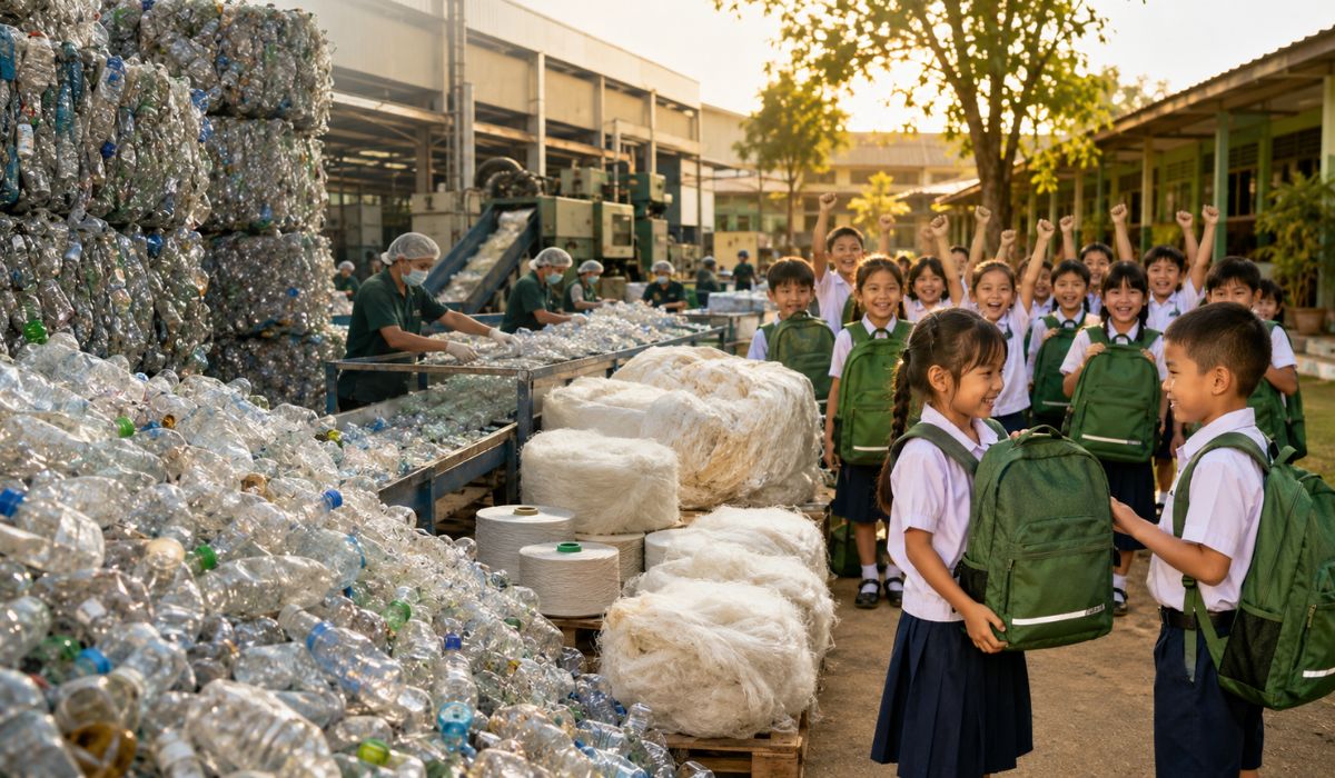
Thailand Converts 8 Tons of PET Bottles into 3,500 School Backpacks, Showcasing Circular Economy with Over 40 Factories Involved

-
Mysterious Bats Spotted in Paris’s Père Lachaise Cemetery, Drawing Tourists to the “Vampire Cemetery”

-
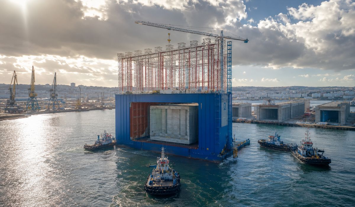
Spain Launches World’s Largest Floating Dry Dock: 56-Meter Giant Produces Massive Concrete Structures in A Coruña Using Technology Proven in Brazil
-
From Selling Street Food to Leading a $300 Million Construction Firm: The Journey of a Brazilian Entrepreneur


Even so, the lower average power does not mean less destruction. The text highlights that a cyclone with winds equivalent to categories 1 or 2 can produce devastating damage, similar to that of more intense hurricanes or typhoons, depending on the continental terrain, natural conditions, and the vulnerability of the affected populations.
Why Indian Ocean cyclones can be less powerful but not less severe
The base draws attention to an essential difference: power is not the same as severity. A cyclone may not reach the maximum wind levels seen in other ocean basins and still produce an extreme disaster when advancing over highly exposed areas.
This happens because destruction also depends on topography, the presence of warm waters and flooded areas, the resilience of housing, the capacity of public response, and the existence of prior alerts. When these factors combine negatively, the result can be catastrophic even with a less intense system on paper.
The numbers that explain why the Indian Ocean deserves so much attention
The text explains that the Pacific Ocean can record up to twice the number of tropical cyclones observed in the Atlantic and that the typhoons in this region have an easier time reaching maximum levels on the scale due to the vast ocean area, the presence of warm waters, and low vertical wind shear.
In the Indian Ocean, the reality is different. The ocean is smaller, concentrates most of its mass in the Southern Hemisphere, and presents regional distribution of phenomena with generally lower occurrences and powers. Still, the risk does not disappear. On the contrary: in many cases, the final damages can be amplified precisely by the type of territory and the precariousness of the affected areas.
How the winds and circulation of the Indian Ocean favor the movement of cyclones

This satellite image of the storm was obtained by the Moderate Resolution Imaging Spectroradiometer ( MODIS ) aboard NASA’s
Terra satellite. Irregular lines of thunderstorms emerge above other clouds in several areas, casting shadows on the lower clouds, evidence of intense rain systems within the storm. When MODIS captured this image on May 3, at 10:55 a.m. local time (4:25 UTC), the cyclone had already weakened to tropical storm intensity. Although the spiral structure is still evident, the eye is ill-defined and clouds fill the space between the spiral arms — characteristics of a less powerful tropical storm.
The database highlights that the surface wind outflow over the Indian Ocean is one of the crucial factors for the development and positioning of cyclones. Trade winds and seasonal variations in ocean circulation help define where these systems form and where they can move.
In the northern sector of the ocean, for example, the influence of the Indian Monsoon alters wind behavior between the Arabian Sea and the Bay of Bengal. Under these conditions, tropical disturbances can evolve and advance towards nearby countries like Bangladesh and Myanmar, increasing the risk for densely populated and environmentally vulnerable regions.
Why Myanmar appears as one of the most concerning cases
Myanmar is cited in the database as an example of a country highly exposed to the most severe effects of Indian Ocean cyclones. The territory has an extensive continental strip formed by plains, flooded areas, swamps, and rice cultivation regions, with stagnant and typically warm waters.
When a cyclone moves from the sea into this type of environment, its moisture supply is not abruptly interrupted. Instead, the flooded areas continue to provide the necessary moisture to keep the system active longer over the continent. This prolongs the phenomenon’s strength precisely where more vulnerable populations and less resistant housing are located.
What made Cyclone Nargis turn into a historical tragedy
Nargis formed rapidly and reached the lower threshold of Category 4, with winds estimated at 210 km/h, according to satellite observation cited in the database. But upon entering Myanmar on May 3, 2008, it had already weakened to a tropical storm.
Still, the disaster was enormous. The vast floodplains had warm waters, allowing the system to remain active longer over the continent.
The spiral structure of the phenomenon was still observable, and the combination of favorable terrain, fragile housing, vegetation susceptible to falling, and lack of preventive warning transformed the event into one of the biggest meteorological disasters in the region’s recent history.
Nargis’s numbers show that the devastation went far beyond the system’s category
The human toll of Nargis was brutal. According to contemporary information cited in the database, the cyclone left 84,500 dead, 54,000 missing, and over one million displaced.
These numbers explain why the episode remains a reference when discussing the severity of Indian Ocean cyclones. It was one of the deadliest in recent history, surpassed only by the 1991 event in Bangladesh, which resulted in 143,000 deaths. The comparison reinforces the same point: tragedy escalates when the phenomenon encounters populations without preparation, without infrastructure, and without preventive support.
Lack of warning and fragility of housing amplified the disaster
The source is clear in pointing out that the tragedy in Myanmar was not caused solely by the cyclone’s strength. The government at the time, led by a military junta, was accused of omission for not issuing a general warning to the population even after receiving information from international meteorological monitoring agencies.
Without minimum warning, rural communities made up of farmers and simple houses were left completely exposed. The residences were destroyed, trees became projectiles, and the flooded areas turned into a continuous sea. The disaster escalated precisely because the most vulnerable population was left without guidance and without time to react.
Madagascar shows that the risk in the southwest Indian Ocean is also extreme
The text also mentions Madagascar, in the southwest Indian Ocean, as a recent example of how these phenomena can be devastating when they hit countries with little infrastructure to withstand the force of winds, water, and tides.
This area gains prominence mainly during the summer of the Southern Hemisphere, when the activity of tropical cyclones shifts to the southwest sector of the ocean. It is in this region that the structural and morphological differences of these systems become clearer, but where scenarios of high vulnerability to severe events also repeat.
Why severity depends so much on human vulnerability
The foundation insists on a central idea: the difference between disaster and resilience lies in preventive preparation and available resources. A population with early warnings, more robust housing, and better infrastructure has a greater capacity to face a tropical cyclone.
In countries where fragile rural areas, precarious public systems, and low response capacity prevail, severity multiplies. That is why, in the Indian Ocean, devastation often cannot be measured solely by wind category, but by the sum of meteorological phenomenon and extreme vulnerability.
What Indian cyclones teach about forecasting and prevention
The main lesson brought by the text is that looking only at the cyclone’s power is insufficient. What defines the scale of the disaster is the encounter between the atmospheric system and the conditions of the territory it hits.
Therefore, prevention becomes decisive. Monitoring, alerts, community preparedness, resilient infrastructure, and rapid response are just as important as meteorological analysis. When these elements fail, even a weaker cyclone can push an entire country into chaos.
In your view, what weighs more in tragedies like that of Nargis: the strength of the cyclone or the extreme vulnerability of the affected countries?