Portuguese
  Spanish


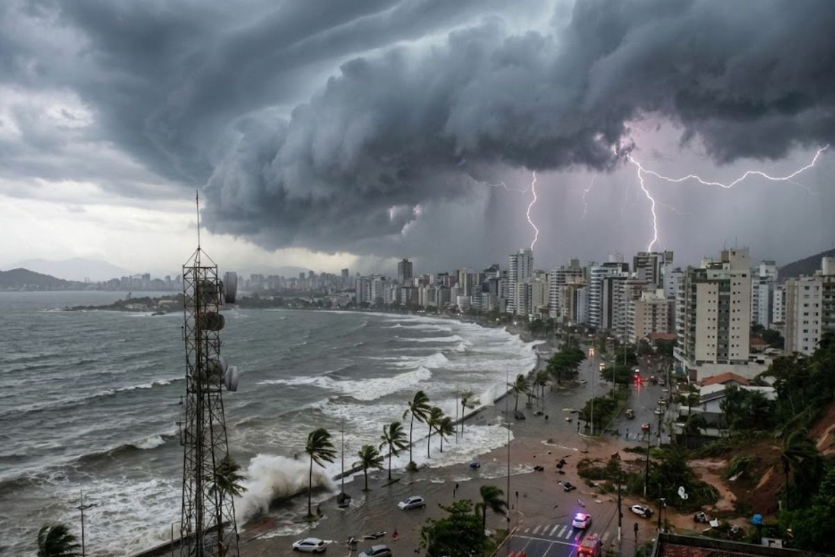


Formation Between South and Southeast Enters the Most Critical Stage from Thursday (29) to Saturday (31). Moisture Corridor May Exceed 200 mm, with Severe Storms, Gusts Above 60 km/h, and Rough Seas. Inmet Warns on Wednesday (28). Six States are on Alert: MS, SC, PR, SP, MG, and AC.
The cyclone forming off the Brazilian coast is expected to drastically change the weather and organize a moisture corridor capable of spreading severe storms and accumulations that may exceed 200 mm in parts of the country in the coming days.
The scenario begins with a warning for rain starting this Wednesday (28), but it enters the most critical phase between Thursday (29) and Saturday (31), when the system consolidates and increases the risk of flooding, landslides, strong winds, and rough seas, focusing on six states.
Where and How the Cyclone Forms
The change is driven by an area of low pressure that begins to deepen on Thursday (29). The forecast indicates that this system is expected to consolidate as a cyclone between Thursday and Saturday (31), acting along the coast between the South and Southeast regions.
-
Robots Descend Four Kilometers to Operate in the World’s Deepest Mine, Unbearable for Humans

-
Brazilian Students Develop Membrane to Clean Contaminated Water for Just $0.01 Per Use, Removing Oil, Dye, Turbidity, and Microorganisms, Reusable 20 Times, Offering Affordable Treatment to Communities Without Potable Water
-
Brazilian Students Turn Manganese Mining Waste into Functional Battery, Present at Major Science Fair

-
NASA Issues Warning: 20-Year-Old Telescope That Detected Over 2,000 Explosions More Energetic Than the Sun Is Rapidly Losing Altitude; Unprecedented Mission Aims to Prevent Its Fall and Extend Operation by 5 Years.




Even before the “eye” is fully defined, instability spreads because the cyclone pulls in moisture and pushes storms across much of the national territory, functioning like a gear that organizes moisture and expands the rain area.
Cyclone Timeline Day by Day
The week escalates in risk, with rapid changes in the rainfall pattern and storms:
Wednesday (28)
The initial alert focuses attention on Rio Grande do Sul and the area connecting the Southeast to the Midwest. In the Northeast and North, rain may reach 100 mm per day.
Thursday (29)
The storms gain full strength. The risk increases in northern Rio Grande do Sul, western Santa Catarina, Paraná, and southern São Paulo.
Friday (30)
It is the day of maximum attention for extreme rain on the border between Mato Grosso do Sul, Goiás, Minas Gerais, and São Paulo. With the soil already saturated in some areas due to last week’s rains, the risk of flooding and landslides increases.
Saturday (31)
The cyclone maintains the pattern of instability and creates additional danger with wind, as well as reinforcing the rough seas along the coast.
The Six States on Cyclone Alert
Although rain will reach almost the entire country, the most significant accumulations, above 200 mm, and constant winds are expected for these six states:
Mato Grosso do Sul
Target of extreme rains on Friday (30).
Santa Catarina
Special attention to the eastern area.
Paraná
Risks concentrated in the north and east of the state.
São Paulo
The whole state is expected to be affected, with critical accumulations inland.
Minas Gerais
Focus on the south and western regions.
Acre
Significant accumulations in the far west.
Strong Winds, Urban Risk, and Rough Seas
Starting Saturday (31), the danger is not just from rain. Gusts associated with the cyclone may exceed 60 km/h, especially in the Southeast, raising the risk of falling trees and damage to structures in urban areas.
Along the coast, caution must be doubled as the sea is expected to become very rough.
The recommendation is to avoid fishing and navigation along the Southeast coast until the cyclone has completely moved out to the Atlantic Ocean.
How Long the Instability is Expected to Last
Instabilities are expected to remain over the country until at least next Thursday (6). The guidance from the Civil Defense is for residents in vulnerable areas to monitor real-time updates, as the situation may change rapidly with the advance of the cyclone.
In your city, is the greatest fear with this cyclone flooding, landslides, or wind knocking down trees and structures?