





 Portuguese
  English
  Spanish
  4 min of reading
  0 comments


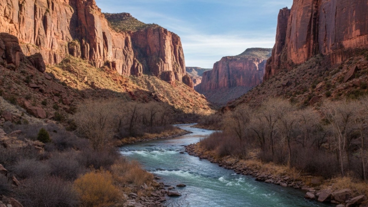
Why The Green River Course Crosses A Mountain Nearly 4 Thousand Meters High In The USA And Led Geologists To Revise 150 Years Of Theories About Rivers And Mountains
Green River is the name of a river that defies geographical logic and is now helping to rewrite part of the history of geology. A new study published in February 2026 revealed what, when, how, where, and why this river crosses a mountain range nearly 4 thousand meters high in the western United States, something that seemed impossible until recently.
The river originates in the state of Wyoming and flows to Utah, where it empties into the Colorado River within Canyonlands National Park. Along the way, instead of going around the Uinta Mountains, it cuts through the mountain range directly and carves deep canyons. The reason lies not in the power of water but in an invisible process occurring hundreds of kilometers below the surface.
A River Too Young To Cross Old Mountains
For decades, geologists have tried to understand how the Green River managed to cross a mountain range formed about 50 million years ago. The problem is that the current course of the river is at most eight million years old, making it too young to have carved out an already consolidated mountain by itself.
-
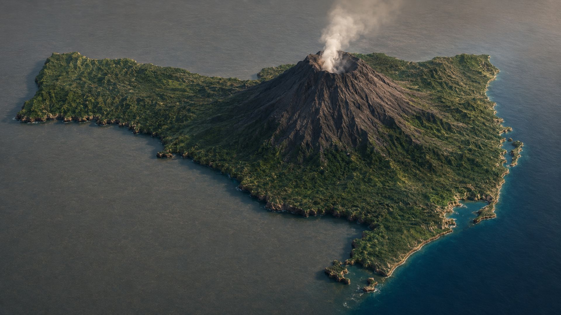
A 600-meter hill in the interior of Santa Catarina hides a volcanic past of almost 600 million years. The Morro do Garrafão in Corupá may have been an ancient extinct volcano, and science now confirms what the residents have always suspected.

-
Family has lived for over 50 years without electricity and running water at home in the South of Minas, 10 minutes from the city, improvising light, bath, and water while facing a lack of basic resources and awaiting property regularization.

-
Children from the 1980s and 1990s who spent hours playing in the street until dark naturally developed spatial intelligence, which today has become the subject of expensive courses, cognitive training, and modern methods of child and adult learning.

-
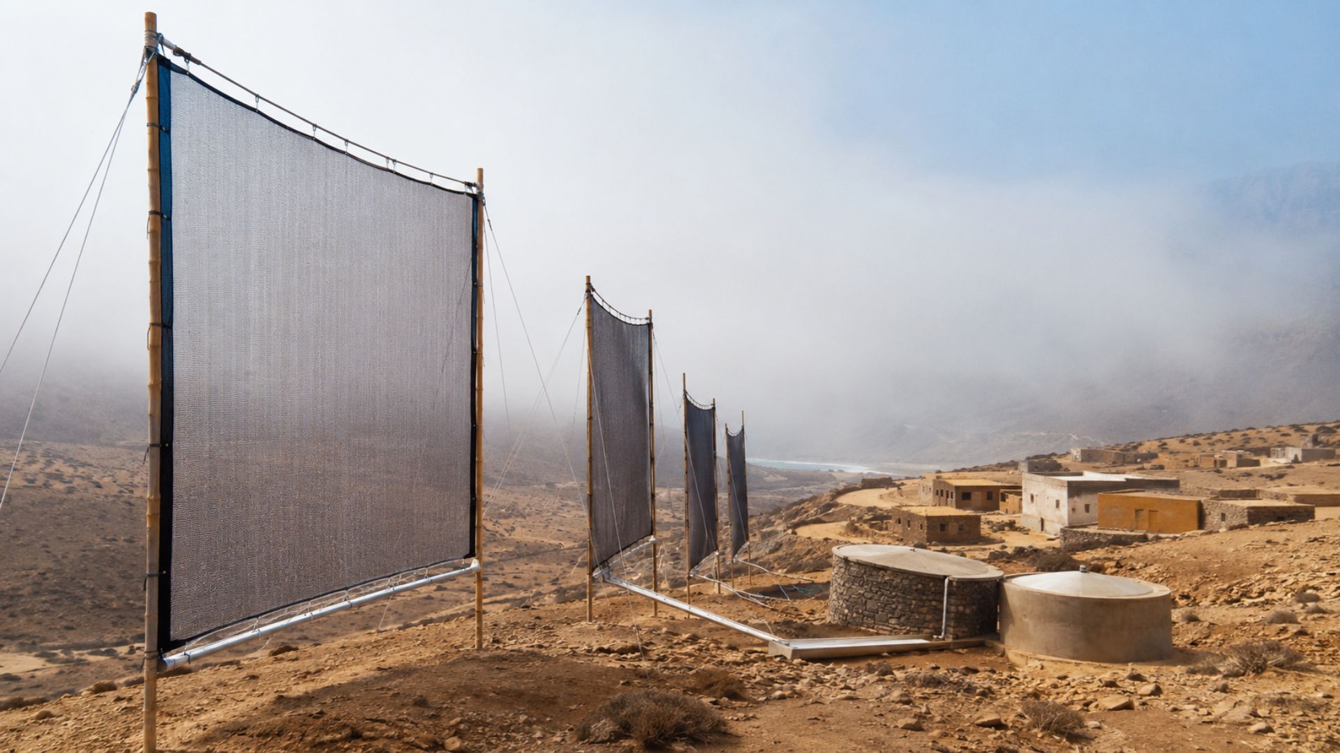
Without bombs, without electricity, and without drilling the ground, villages in southwestern Morocco have discovered how to extract water directly from the air using only polymer nets, wind, and the humidity of the Atlantic amidst the advancing desert.


This type of contradiction has fueled a scientific debate that has lasted over 150 years. In technically stable regions like the American West, major geological events are rare. Therefore, the presence of a river cutting through a mountain range has always seemed out of place.
According to Adam Smith, a researcher at the University of Glasgow and the lead author of the study published in the Journal of Geophysical Research Earth Surface, the Green River did not have enough geological time to overcome a mountain range of that height solely through erosion. The answer, therefore, had to be found elsewhere.
The Canyon That Exposed The Enigma In The Middle Of The Uinta Mountains
The most impressive point of this journey is Lodore Canyon, where the Green River carved walls that reach 700 meters in height. The site became the centerpiece of the mystery because there the river cuts directly through the heart of the mountains.
Two classical explanations attempted to solve the enigma. The first suggested that the Yampa River, south of the mountain range, had paved the way before the Green. The problem is that the Yampa does not have enough energy to form such deep canyons, according to geomorphological analyses published by the United States Geological Survey.
The second hypothesis spoke of an extreme accumulation of sediments that temporarily raised the river’s level. However, stratigraphic studies did not find compatible volumes with this idea.
Mountains That Sink And Then Rise Again
The new explanation points to a phenomenon called lithospheric dripping. It occurs when dense parts of the Earth’s crust, located beneath large mountain ranges, become too heavy and begin to sink toward the mantle.
This sinking pulls the surface down and reduces the altitude of the mountains. During this interval, the terrain becomes lower and easier for rivers to cross. When the sunken material detaches, a rebound effect occurs, and the landscape slowly rises again.
Numerical models indicate that the Uinta Mountains underwent this subsidence between 2 and 5 million years ago. It was during this period that the Green River found the path of least resistance, crossed the mountain range, and continued there even after the elevation of the terrain.
Evidence From 200 Kilometers Below The Surface
In addition to analyzing river profiles, researchers used seismic tomography, a technique that creates three-dimensional images of the Earth’s interior from seismic waves. The data showed an anomaly about 200 kilometers deep beneath the Uinta Mountains.
Universities like the University of Utah had already identified similar structures in other mountainous regions around the world, associated with deep mantle processes.
These findings reinforce the idea that the visible landscape can be shaped by forces acting far beyond what the eyes can see.
A Landscape Shaped By Invisible Processes
Although new studies are still needed, the lithospheric dripping hypothesis resolves one of the oldest mysteries in North American geology. In the case of the Green River, what seemed like a river climbing mountains is, in fact, the silent record of mountains that sank and then rose again.
This type of discovery shows that the Earth is in constant transformation, even in regions considered stable. And that rivers, mountains, and canyons hold stories that are only now beginning to be revealed.








-

1 person reacted to this.