
 Portuguese
  Spanish
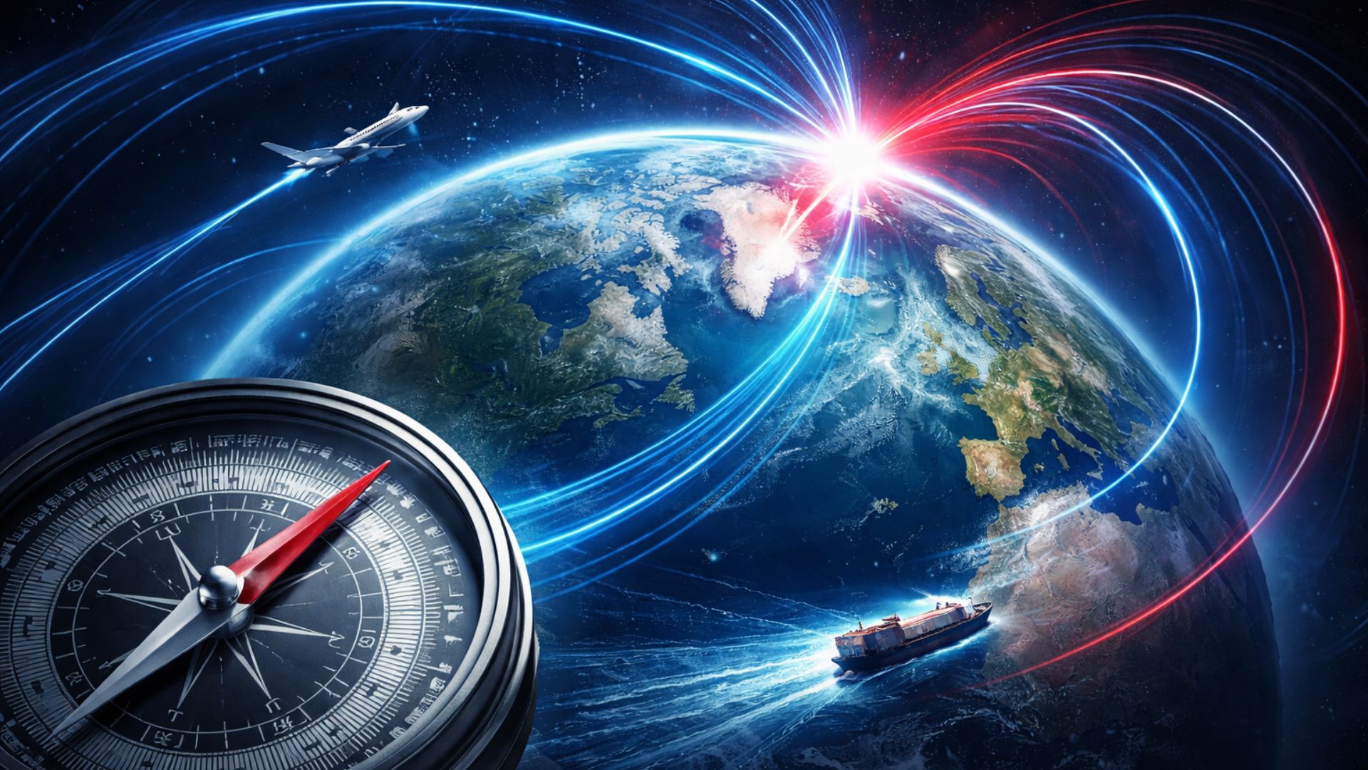
Silent Change in the Planetary Magnetic Field Led Scientists to Review Global Model Guiding Aerial, Maritime, and Digital Navigation Systems, Affecting Everyday Technologies and Strategic Operations Without Direct Impact on the Population’s Routine.
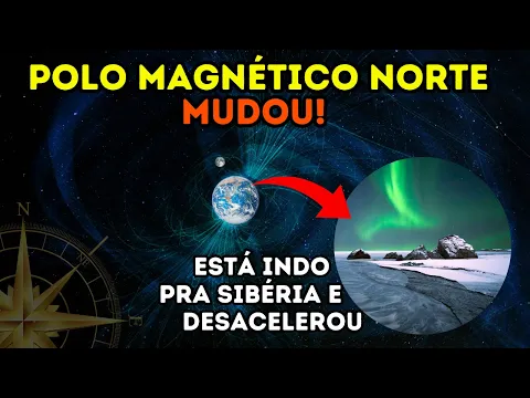
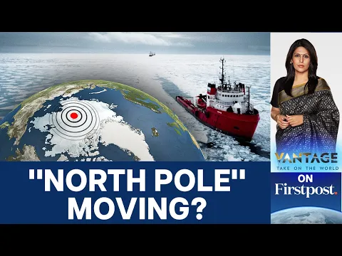
The Earth’s magnetic north pole has started to move again toward the north of Eurasia and has simultaneously slowed its advance after years of acceleration.
This behavior has led scientific institutions in the United States and the United Kingdom to update the World Magnetic Model 2025, the international reference for guiding routes and calculating headings worldwide.
Although the change is part of the Earth’s natural dynamics, it directly impacts navigation systems used in aviation, maritime navigation, and embedded technologies, such as digital compasses in cell phones and cars.
-
At 17, she hand-painted her first watercolor design for school uniforms; her brand grew without investors, sold 135,000 pieces, and aims for $3 million in revenue by 2026.

-
Shell Discovers Intact Early 19th-Century Wooden Shipwreck in the Gulf of Mexico at Over 1,300 Meters Deep
-
Brazilian Entrepreneur Turns Door-to-Door Jewelry Sales into a Family Business Empire with Over 70 Stores

-
$75 Million Bridge in Brazil Opens to Connect Cities, Create Jobs, and Cut Travel Time from 30 to 2 Minutes; Spanning 1.24 km, It’s Among the Country’s Largest and Ends Decades of Ferry Queues.


The update, launched at the end of 2024 by agencies such as NOAA in the U.S. and the British Geological Survey in the U.K., refines the mathematical representation of the magnetic field and aims to avoid accumulated errors over long distances, especially on oceanic and polar routes.
Still, experts emphasize that the phenomenon does not alter the routine of most people, as practical effects mainly appear in applications that require high precision and operate with magnetic reference.
Natural Dynamics of the Magnetic North Pole
Unlike the geographic north pole, defined by the planet’s rotational axis, the magnetic north pole corresponds to an area where the lines of the magnetic field point more directly downward.
Over time, it moves driven by the movements of liquid iron in the Earth’s outer core, which acts as a natural “dynamo” responsible for generating the Earth’s magnetic field.
Historically, the pole was identified in the 19th century in an area of the Canadian Arctic, a point that served as an initial reference for systematic measurements.
Since then, successive observations have recorded a long migration trajectory, which in recent decades has come to approach Siberia more than Canada.
This drift, however, does not occur in a linear fashion. Changes in direction and variations in speed are part of the process as the behavior of the core and the magnetic field evolves.
Recent Deceleration and Technical Effects
In recent years, researchers have monitored a period during which the magnetic north pole accelerated unusually, with displacements often cited between 50 and 60 kilometers per year.
The most recent data used in the model update indicate that this pace has fallen to about 35 to 36 kilometers annually, a reduction that has drawn the attention of centers responsible for monitoring geomagnetism.
In the original text, this change was described as “the largest recorded deceleration”, a phrase that reinforces the phenomenon’s relevance from a technical standpoint.
Even though it is gradual, this shift has operational weight because mathematical models work with short-term projections of the magnetic field’s behavior.
When the pattern of change alters, the difference between the real field and what the model predicts tends to grow, especially in areas where magnetism is already more unstable.
Still, experts view the deceleration as part of the planet’s normal functioning, not as a sign of immediate rupture. The focus, in this case, is technical: keep navigation systems aligned with the best available representation of the magnetic field.
What Is the World Magnetic Model 2025
The World Magnetic Model, known by the acronym WMM, is a global model used as a standard in navigation, heading, and orientation applications that depend on the magnetic field.
It undergoes periodic updates because the magnetic field changes over time, making old predictions progressively less accurate.
The WMM2025 version came into effect after its release at the end of 2024 and is valid until the end of 2029.
Distributed by civilian and military agencies, the model appears, directly or indirectly, in navigation systems for aircraft, vessels, mapping equipment, and software that estimate magnetic declination.
In practice, such an update reduces the risk of instruments providing outdated references, especially in professional operations that cross long distances and require precise calibration.
Direct Impact on Aviation and Maritime Navigation
In aviation, the magnetic reference is used at different stages of flight, from route planning to orientation during operation.
In some airports, it even influences the numbering of runways, which typically reflects the approximate magnetic alignment.
As declination changes over time, procedures and databases need to keep up with these variations to maintain consistency and operational safety.
In maritime navigation, seemingly small errors can become significant on long crossings, especially far from reference points and on routes that pass through high latitudes.
In polar areas, where the lines of the magnetic field behave more complexly, sensitivity increases. Thus, updated models help limit deviations that, when accumulated, can result in significant differences by the end of a trajectory.
Use of the Model in Cell Phones and Vehicles
In smartphones, the magnetic field serves as one of the references for indicating direction, adjusting maps when the user is stationary or moving slowly, and orienting features based on the device’s “pointing.”
In automobiles, navigation and driver assistance systems can combine different sensors, including magnetometers, to estimate direction.
In most cases, the WMM update appears only as internal adjustments in applications, operating systems, or firmware, without requiring any direct action from the user.
In professional operations, however, the topic is more sensitive, as specific equipment, navigation software, and databases need to incorporate the new parameters to maintain safety margins.
High-Resolution Version Increases Accuracy
A significant change in the most recent cycle was the availability, for the first time, of two versions of the magnetic model.
In addition to the standard WMM2025, a high-resolution version called WMMHR2025 was launched for applications that require greater spatial detail.
According to technical information released by the responsible institutions, the spatial resolution at the equator changes from approximately 3,300 kilometers in the standard model to about 300 kilometers in the high-resolution version.
This advancement is associated with the idea of “10x greater” precision in detailing the magnetic field, particularly useful in areas where small differences matter more.
High-latitude areas and operations that require finer directional alignment are among the primary beneficiaries of this resolution gain.
Magnetic Blackout Zones Enter the Radar
The WMM also maps areas near the poles where compass navigation can become seriously degraded.
These regions, known as magnetic blackout zones, correspond to locations where declination varies rapidly and reliability in direction diminishes.
In the most recent update, these zones were adjusted to reflect displacements observed in the magnetic field over time.
The impact is primarily operational, as polar flights, scientific navigation, and missions in extreme environments depend on specific planning, alternative routes, and additional layers of redundancy to maintain safety and efficiency.
Natural Phenomenon, Continuous Technological Challenge
The Earth’s magnetic field continues to play a central role in the planet’s interaction with the spatial environment.
Changes in the magnetic pole, by themselves, do not indicate an immediate collapse of this system nor a loss of the protection associated with it.
The challenge is to keep models and software aligned with the physical reality of a constantly changing planet.
While people’s routines remain practically the same, the technological infrastructure that supports transportation, mapping, and navigation relies on global standards like the WMM.
With the magnetic north pole still moving and the new version of the model in circulation, which navigation systems and applications used daily are being recalibrated without the user noticing?


Admiração e respeito aos profissionais que estudam a Terra e seus movimentos.