Portuguese
  Spanish
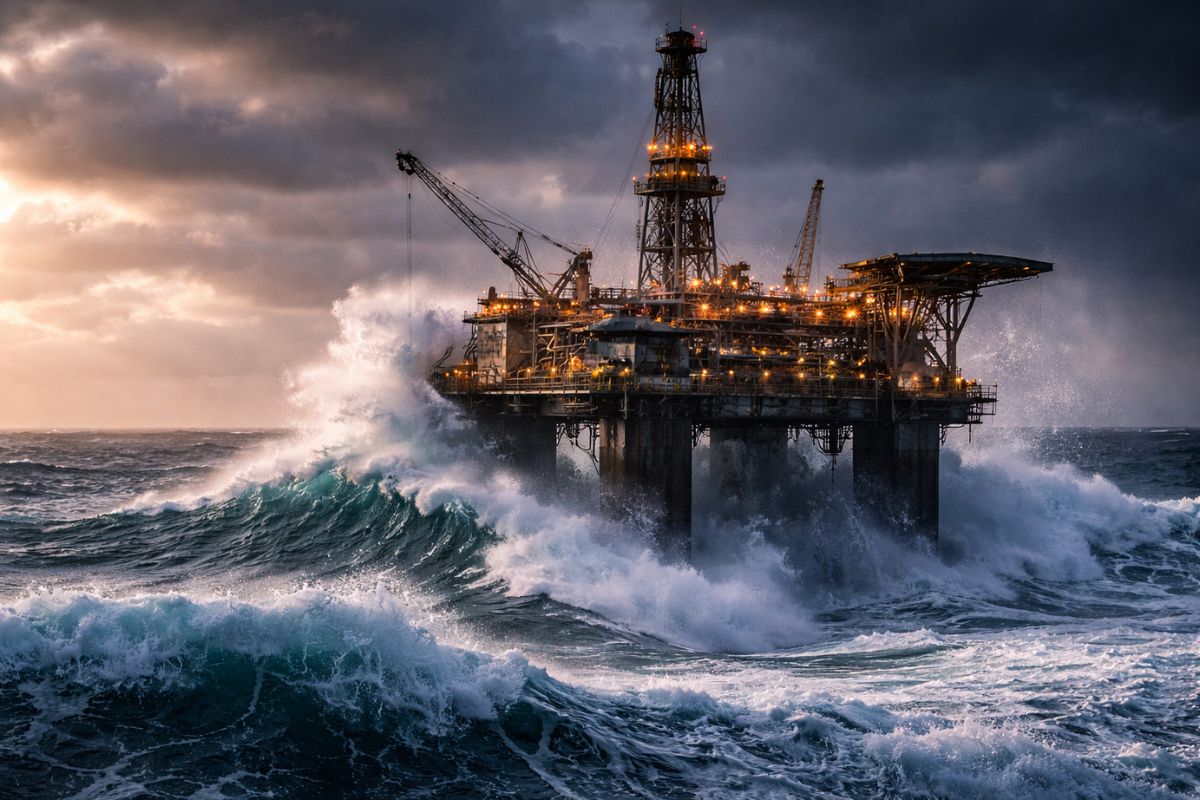
Data Obtained From Space Reveals How Extreme Events in the Pacific Challenge Traditional Forecasts and Guide Safer Decisions for Navigation, Long Routes, and Offshore Projects
Satellites in orbit around Earth recorded waves up to 35 meters high in the Pacific Ocean, an extreme phenomenon that occurs far from shore and is rarely observed by vessels. The detection enhances the ability to identify dangerous areas, improves maritime forecasts, and strengthens navigation safety and offshore structures.
The record was identified in open waters, in a range between Hawaii and the Aleutian Islands, during the passage of satellites equipped with instruments capable of measuring variations in the ocean surface. The data stands out due to the scale of the event and its potential impact on maritime operations.
Where the Wave Was Registered: The Oceanic Range Between Hawaii and Aleutians
The episode was associated with a December night in the North Pacific region, in an area distant from direct human observation. Being outside the most monitored routes and the coast itself, this type of occurrence often goes unnoticed, increasing the value of orbital measurements.
-
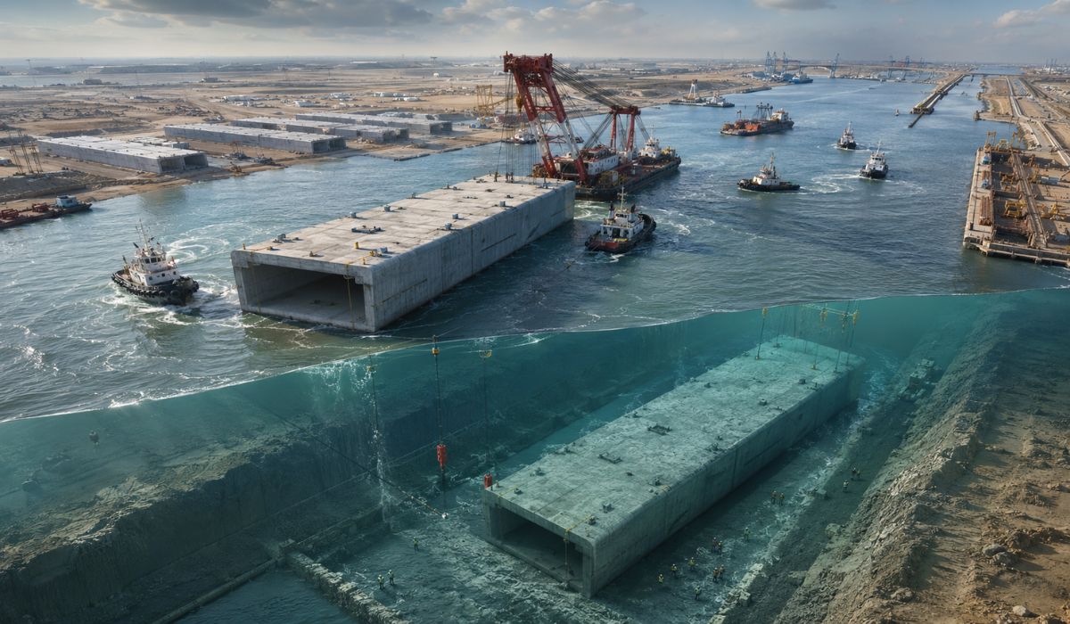
Iraq floats and sinks under an arm of the Euphrates 10 giant concrete boxes of 46,000 tons and 125 meters each to assemble a 2.4 km submerged tunnel and open a new land route between Asia and Europe.

-
Scientists use more than 20,000 artificial birds and solar speakers to “trick” seabirds, reactivate nesting routes, and revive a colony on an island that seemed abandoned.

-
She spent 73 years breathing inside an iron lung, survived the aftereffects of polio, and became the last woman in the United States dependent on the equipment before dying at 78 years old.
-
Brazilian students created a $1 filter using pine bark, cotton, and 3D-printed parts to clean cassava wastewater, reduce the toxicity of a hazardous waste, and transform contaminated water into biofertilizer.


35 Meters in Open Water: Why This Number Changes the Alert Level
Very high waves during severe storms can reach about 15 meters in certain scenarios. The jump to 35 meters puts the phenomenon at an extreme level, capable of elevating risks for ships in transit, support operations, and any activity exposed to rough seas.
Another relevant point: a large portion of these giant waves does not reach the shore. They form, peak, and dissipate in open water, far from the view of those on land.
How Satellites “See” Water Walls: Sea Level Variations in Real Time
The detection occurs through instruments that observe changes and variations in the ocean surface, allowing the estimation of peaks and anomalies associated with non-standard waves. Even in remote regions, satellites can record these changes when they pass over the area.
In practice, this reduces the dependence on isolated reports and expands the possibility of building historical series and patterns, which is essential for improving risk monitoring at sea.
The Recipe for Giant Waves: Storms, Persistent Winds, and Accrued Energy

Giant waves tend to form when storms and strong winds accumulate energy over long periods across large expanses of water. In certain combinations, the intensity, direction, and persistence of the wind concentrate energy in the wave system and can generate abrupt elevations, appearing as a “wall of water.”
The Pacific, due to its scale and exposure to large weather systems, presents favorable conditions for this type of event, especially in the open waters of the North Pacific.
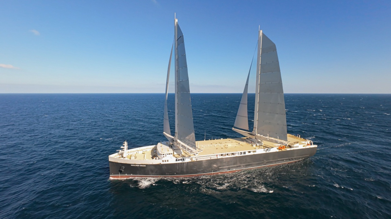
What Changes for Maritime Routes: Forecasting “Extreme Sea Zones” Before Crossing
For navigation and maritime transport, the biggest gain lies in anticipating critical areas. On long voyages, more accurate data helps choose routes with lower risk, assess operational windows, and reduce exposure to rare but potentially catastrophic events.
The information, when integrated with forecasts and planning, ceases to be just scientific curiosity and becomes operational parameters.
Offshore in Account: Platforms and Structures Need to Consider More Extreme Events
The record of waves of this magnitude also pressures the planning of structures at sea. Platforms, energy facilities, support systems, and even port projects depend on safety margins based on the expected behavior of the ocean.
When extreme events become better documented, engineering gains inputs to design protections, reduce vulnerabilities, and increase resilience in areas exposed to severe storms.
Next Step in Monitoring: Map Regions with Greater Probability of Off-Standard Waves
With satellite detection, marine meteorology can advance in a key point: indicate where extreme events are more likely to occur and when conditions are approaching a critical scenario.
This strengthens preemptive decisions for navigation and offshore operations and reinforces a warning: even when the sea appears “normal,” the ocean can conceal extreme peaks, and orbital technology is making this risk more predictable.