Portuguese
  Spanish
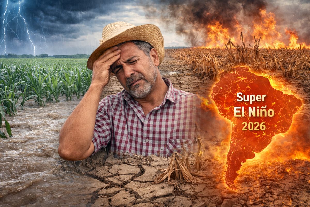
Cemaden estimates over 80% probability of a Super El Niño establishing itself in the second half of 2026, with Pacific warming above 2 °C capable of causing drought in the North and Northeast, excessive rains in the South, and severe damage to crops and agricultural production in all Brazilian regions.
The alert for the arrival of a Super El Niño in the second half of 2026 has gained strength with the latest data from Cemaden, the National Center for Monitoring and Alerts of Natural Disasters. According to the agency, the probability of the phenomenon occurring has already surpassed 80%, and the indicators point to a high-magnitude event. When the temperature in the equatorial Pacific exceeds the average level by at least 2 °C, it constitutes what is called a Super El Niño, capable of reorganizing climate patterns on a planetary scale and hitting Brazilian crops hard.
Specialist Renato Rodrigues warns that a climatic phenomenon originating thousands of kilometers away can determine whether an entire harvest will be successful or result in failure. What makes the current scenario even more concerning is that this possible Super El Niño would occur over a planet that is already warmed, increasing both the risks of drought and excessive rainfall, which amplifies its effects and increases the risks to agricultural production. According to Rodrigues, today’s phenomenon is not comparable to that of two or three decades ago, because baseline temperatures are already higher, evaporation is greater, and extreme episodes tend to be more intense.
How Super El Niño Affects Each Region of Brazil

The impacts of Super El Niño are not uniform across the territory, as the models from Cemaden already indicate. In the North and Northeast, the main risk is prolonged drought and water stress, a scenario that punishes pastures and compromises crops that depend on regular rainfall.
-
She spent 73 years breathing inside an iron lung, survived the aftereffects of polio, and became the last woman in the United States dependent on the equipment before dying at 78 years old.

-
Brazilian students created a $1 filter using pine bark, cotton, and 3D-printed parts to clean cassava wastewater, reduce the toxicity of a hazardous waste, and transform contaminated water into biofertilizer.

-
Astronaut from Artemis II steps down after mission to the Moon and decision surprises after a record of 406,771 km, a historic 10-day journey, and an unprecedented achievement for Canada.

-
A fossil kept for years in a small museum in Montreal concealed 450-million-year-old soft tissue, a discovery that has only happened once before in history.


These are regions where agricultural production already operates with tight water margins, and any additional reduction in precipitation can represent a severe crop failure.
In the Midwest, the concern lies with the irregularity of rainfall. The planting of soybeans and the yield of the second corn crop are threatened when precipitation does not follow the expected pattern of the agricultural calendar.
In the South, the problem is the opposite: excessive rain tends to delay the harvest of grains from the field and compromise the quality standard of what was already ready to be harvested. In the Southeast, the scenario is the most unstable, with alternating extreme heat and poorly distributed rains affecting high-value crops such as coffee, sugarcane, and cereals.
Super El Niño on a warmer planet: amplified effects
The fact that the phenomenon occurs in a global context of elevated temperatures intensifies each of its developments. More heat in the atmosphere means more evaporation, more severe drought cycles where it does not rain, and more violent storms where precipitation is concentrated.
This combination creates an environment of extreme volatility in the field, where the difference between profit and loss can depend on a few weeks of climatic variation.
Rodrigues emphasizes that the contemporary Super El Niño acts on an already elevated thermal base, which makes its effects more aggressive than those recorded in previous episodes.
For agricultural production, this represents not only the risk of direct loss in crops but also increased costs of inputs, pressure on rural insurance, and instability in food prices. The impact, therefore, goes beyond the farm gate and reaches the final consumer.
What producers can do now to protect crops
Given the probability of over 80% indicated by Cemaden, early planning becomes the main defense tool.
Rodrigues is categorical in stating that, in events like Super El Niño, acting early is what separates controllable losses from devastating damages. Those who wait for the phenomenon to settle in to make decisions end up reacting under pressure and with fewer options available.
Among the recommended measures is the review of the planting calendar, anticipating or postponing sowing to avoid the most critical periods.
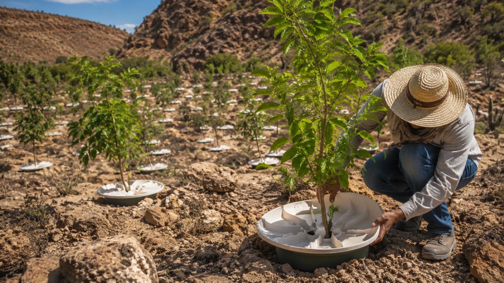
The selection of drought-tolerant or waterlogged-tolerant cultivars, depending on the region, also appears as an essential strategy to protect crops. In soil management, increasing organic matter content improves water retention capacity, an important benefit in both drought and excessive rain scenarios.
Irrigation, drainage, and smart fertilization against Super El Niño
Water management gains prominence in regions where Super El Niño tends to cause more intense drought. Investing in irrigation systems can be the difference between keeping agricultural production running or witnessing total crop loss in the North, Northeast, and parts of the Midwest.
In the areas of the South where excessive precipitation is the problem, the priority shifts to the installation or expansion of drainage structures.
Another adaptation front involves the use of controlled-release fertilizers. These products release nutrients gradually, reducing waste caused by heavy rains that wash away the soil and conventional fertilization.
In adverse conditions such as those predicted by Cemaden for the Super El Niño, this type of technology increases the efficiency of every real invested in inputs and helps maintain profitability even in crops pressured by the climate.
And you, have you started preparing your property for a possible Super El Niño, or do you think it’s still too early to worry? What measures make the most sense for your region? Leave your opinion in the comments.