






 Portuguese
  Spanish




Aerial Images Captured at Igaratá Reservoir Dramatically Expose the Low Water Level in One of the Main Reservoirs Supplying the Capital of São Paulo
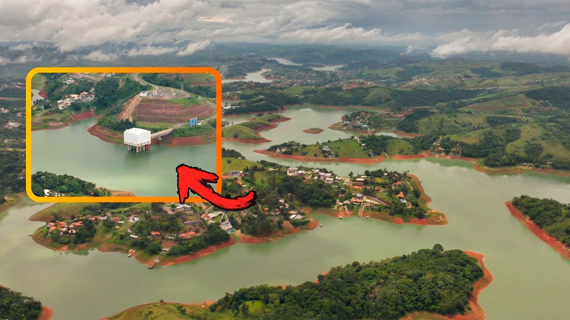
The Igaratá Reservoir, which is part of the Cantareira System responsible for supplying water to Greater São Paulo, shows alarmingly low levels, as revealed by recent aerial images captured by drone in the region. The visual record shows extensive patches of land where water used to be, highlighting the severity of the water situation in the state of São Paulo.
The images were taken in the region of the Pena Branca waterfall in Igaratá, showing in detail the extent of the reduction in water volume in the reservoir.
According to the information from the record, the apparent shores reveal that the reservoir has drastically lowered, exposing areas that used to be submerged.
-
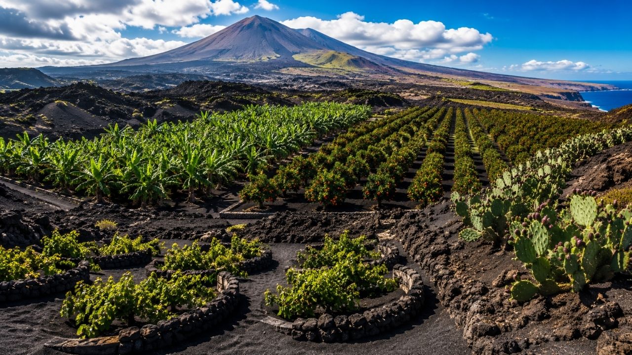
Volcanic Soils from Destructive Eruptions Turn into Million-Dollar Crops: Ashes Nourish Grapes in Lanzarote, Bananas in the Canary Islands, Blood Oranges on Mount Etna, and Cacti in Mexico, Showcasing How Lava-Formed Lands Sustain Rare Harvests in Seemingly Barren Regions

-
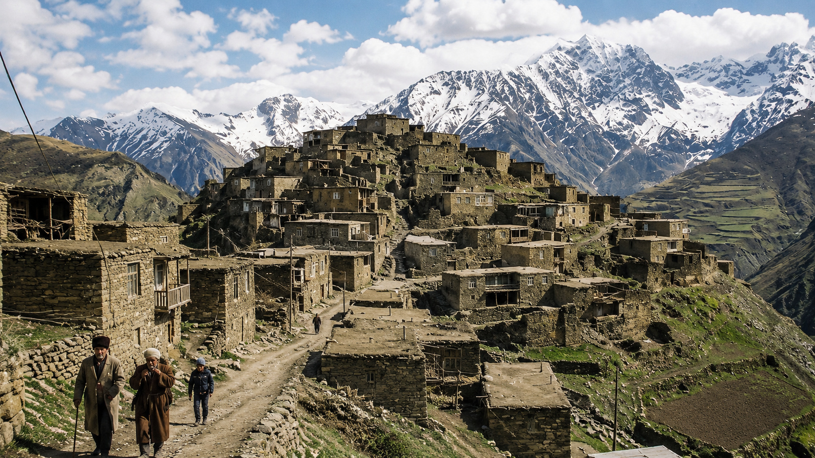
In the Caucasus Mountains, a Community Preserves a Language So Rare Few Outsiders Can Understand It

-
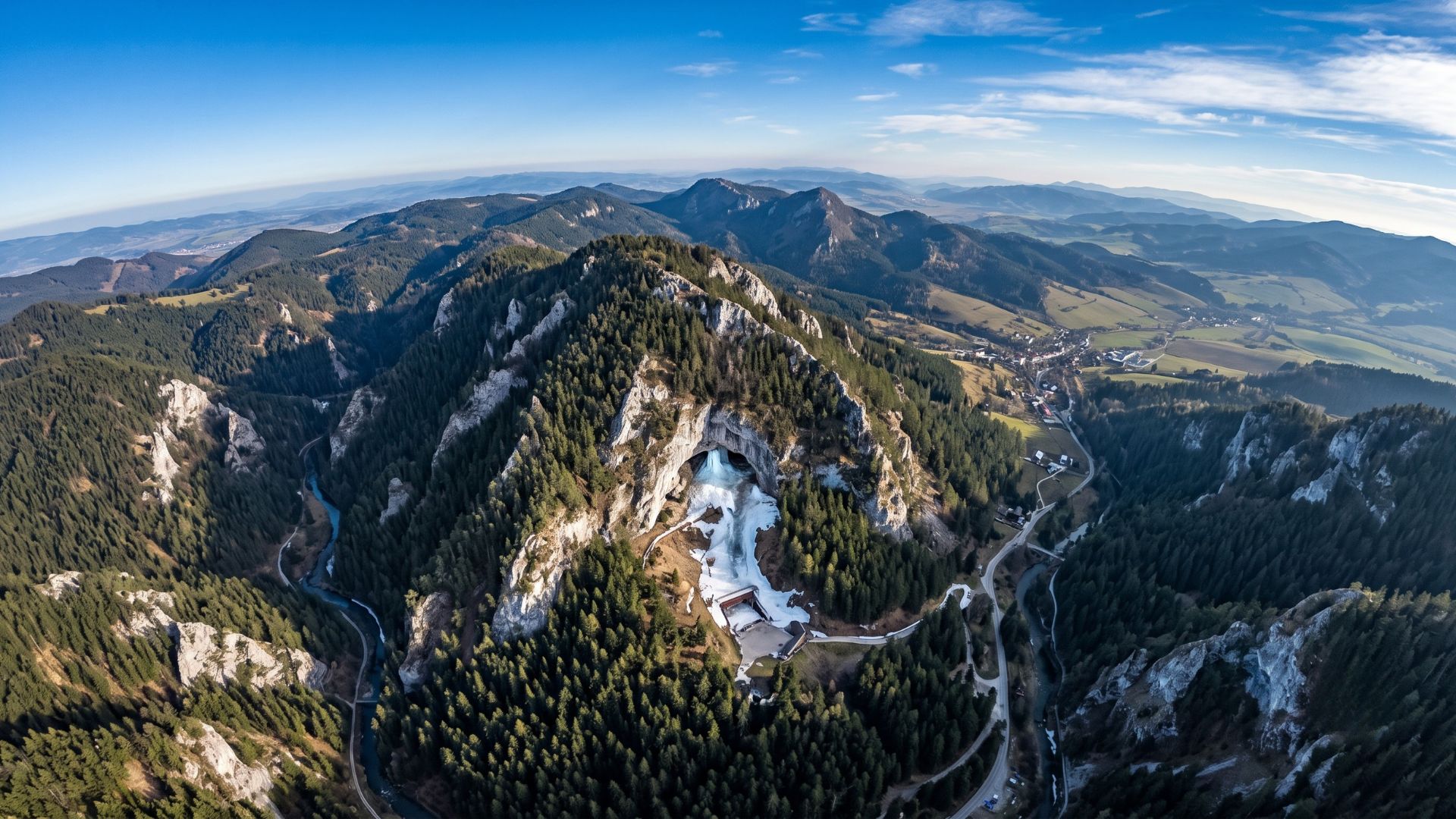
Slovakia’s Ice Cave Holds Over 110,000 m³ of Frozen Wonders, Boasts Walls Up to 27 Meters Thick, and Was Among the First Electrified Caves Globally

-
Street Cleaner Accidentally Receives $200,000 Transfer, Returns Unexpected Fortune to Rightful Owner
The situation stands out especially because the Cantareira System is one of the main suppliers of water for millions of people in the metropolitan region of São Paulo. The low level recorded raises an alert about the need for water conservation and measures to preserve water resources.
Extent of Drought Revealed by Drone Technology
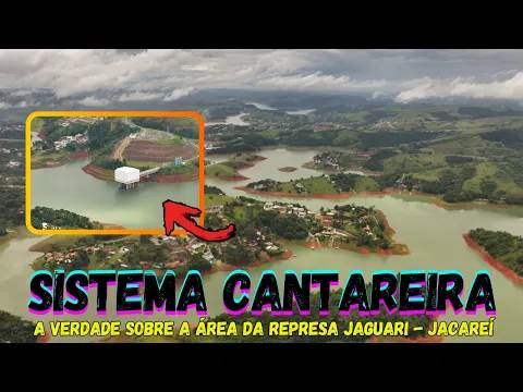

The overflight covered approximately 4 kilometers, using zoom resources that allowed visibility up to 10 kilometers ahead. The captured images clearly show the orange and red shores of the areas that were exposed due to the lowering water level.
During the recording, it was possible to observe various constructions at the edges of the reservoir, including mansions located near the reservoir.
With the declining water level, owners typically take the opportunity to build access ramps to lower points on the shore, facilitating access when the reservoir fills up again.
The images also reveal the topography of the region, with areas of fog forming over the reservoir and unstable weather conditions, characterized by quick bursts of rain that are not enough to significantly raise the stored water volume.
Insufficient Rain Exacerbates Water Situation
According to observations made during the image capture, the region has recorded quick and short-lived rain, which is insufficient to adequately replenish the reservoir levels. Strong showers occur but pass quickly, not allowing enough time for water to accumulate in the rivers and reservoirs of the system.
The situation is worsened by the pattern of concentrated rains in urban areas of the capital, while the spring areas, such as Igaratá, do not receive sufficient precipitation. This mismatch between where it rains and where it is necessary to accumulate water contributes to maintaining low levels in the reservoirs.
Experts warn that without heavy and sustained rains, the situation may worsen even further in the coming months. The lack of significant precipitation directly impacts the supply capacity of the Cantareira System, which has already faced severe water crises in the past.
Cantareira System and Its Role in São Paulo Supply
The Cantareira System consists of five interconnected reservoirs and represents one of the main water supply sources for the Metropolitan Region of São Paulo. The Igaratá Reservoir, also known as the Jaguari Reservoir, is part of this complex system that serves millions of people daily.
According to data from Sabesp, the system is responsible for supplying water to approximately 7.6 million people in Greater São Paulo. Any significant variation in reservoir levels directly impacts the availability of water for human, industrial, and commercial consumption in the region.
The last major water crisis of the Cantareira System occurred between 2014 and 2015, when levels reached historically low points, leading to the implementation of rationing and intensive water conservation campaigns.
Since then, monitoring the reservoirs has become even more crucial for water supply planning.
Urgent Need for Conservation and Awareness
In light of the scenario revealed by aerial images, experts emphasize the importance of water conservation by the population. Small daily actions, such as reducing shower time, turning off the faucet while brushing teeth, and reusing water whenever possible, make a difference in overall consumption.
Authorities recommend that citizens maintain conscious water use practices, avoiding waste and adopting reuse measures whenever feasible. The population can also contribute by reporting leaks and problems in the distribution network.
Continuous monitoring of reservoir levels and transparency in information are essential for society to follow the situation and make informed decisions about water consumption.
And you, have you been monitoring the levels of reservoirs in your region? Do you think authorities are doing enough to prevent a new water crisis, or is the responsibility mainly on individual population awareness? Share your opinion in the comments and share your experiences on water conservation in daily life.


