Portuguese
  Spanish
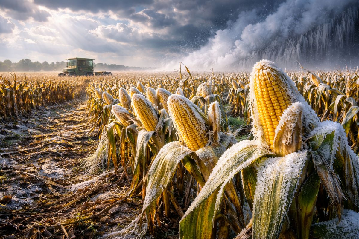
With rain until the end of April, corn out of the window faces drought in May and June; El Niño has not yet merged and polar air masses may bring strong frosts.
From what appears in the data, it should rain until the end of April and then the weather tends to dry out in May and June. If the corn planted late reaches the reproductive stage with rain failing, the risk of loss increases. And there is another detail that weighs in: the uncertainty about El Niño, because warmer ocean water does not always mean the atmosphere will react in the way people expect.
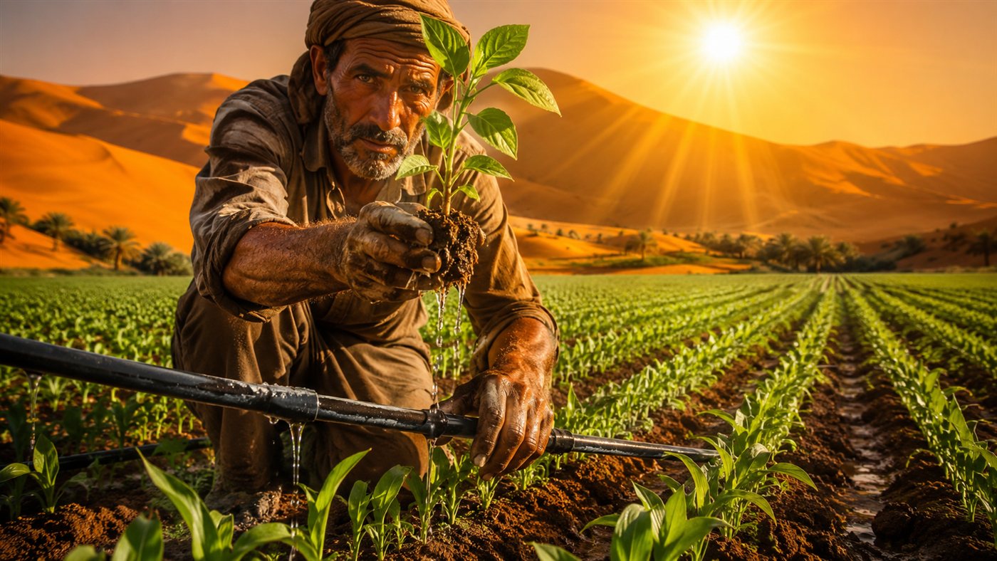
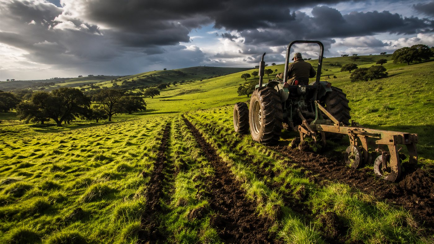
The second crop is in the field and the corn is developing, but many people ended up planting outside the window. The question that remains is quite straightforward: if the rain shortens and May and June come drier, will this late-planted corn be able to get through the most critical phase without losing strength?
Rain until the end of April and drought in May and June: why corn feels this at the wrong time

The reading is that rain will continue until the end of April and, subsequently, May and June tend to be drier. For those who planted late, this is not just an “annoying climate.” It’s a tightening calendar.
-
Brazilian Farmer Invents Low-Cost Tractor Using Motorcycle Parts, Efficiently Working 2 Acres on 1 Liter of Diesel

-
Regenerative Farmers Use Keyline Plow to Improve Pasture Hydration, Storing 1 Gallon of Water Every 30 Centimeters

-
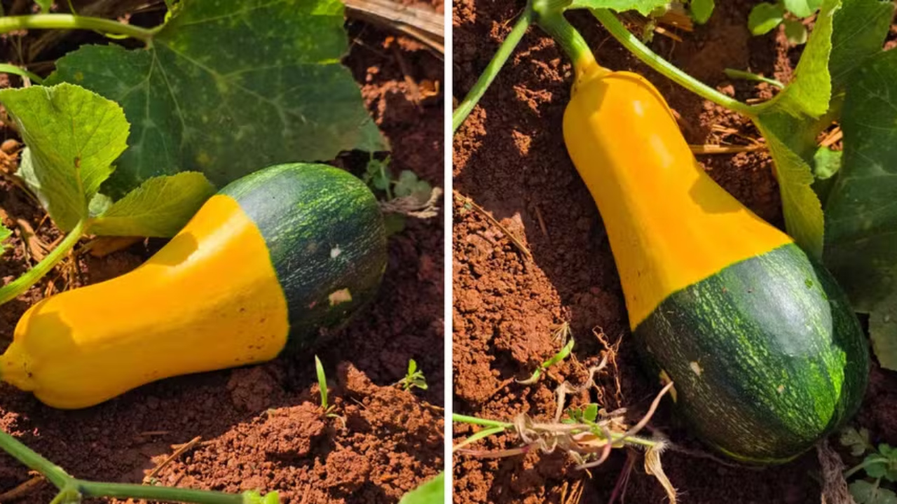
Bicolor Pumpkin Resembling Hand-Painted Art Discovered by Brazilian Researchers in the Capital Due to “Spontaneous Mutation”

-
In China, a 26-story building produces 1.2 million pigs annually, revolutionizing livestock farming with tube feeding and AI surveillance.


When corn enters the reproductive phase, it needs good conditions to maintain productivity. If this phase falls during a period when rains are scarce, it can cause problems. The alert here is more about timing than panic: the delayed corn may simply ask for water when the weather no longer delivers.
Soybean 26/27: risk of delay in rain in some regions
The scenario for soybean 26/27, according to the data, depends a lot on where you are. In areas like Parecis, the assessment is that there should not be major problems, as cold fronts may cross the latitude of São Paulo and Rio de Janeiro and “stretch” upwards.
But there is a risk if these fronts become stationary: it rains under the front, and in the area ahead of it, the air descends drier. In this situation, regions like western Mato Grosso, Goiás, northern Minas Gerais, and Tocantins may experience delays in the start of the rainy season, with the chance that rain will only begin after November 20.
Still, from January to March, the trend would be fewer problems, possibly with a dry spell in February, depending on the behavior of winter in the Northern Hemisphere.
El Niño: why the analysis speaks of “alarmism” and calls for caution
When the conversation turns to El Niño, the base emphasizes that there is a lot of alarmism. One reason is the time of year: March, April, and May are months when forecasts tend to be more inaccurate, due to an important transition in conditions in the Northern Hemisphere.
And there is one point that changes everything: warm water in the Pacific is not enough. It is the atmosphere that “creates” the rain. If the atmosphere does not couple, it doesn’t matter how warm the ocean is.
Southern Oscillation and the signal that does not match the classic El Niño
The base mentions the southern oscillation, described as a seesaw of pressure, and refers to the SOI, Southern Oscillation Index. When it is negative, it generally coincides with El Niño. When it is positive, it coincides with La Niña.
What the statement suggests is that, despite warm water arriving, the atmosphere may not have coupled, maintaining behavior more similar to La Niña. In other words: there may be warming in the ocean, but if the atmosphere does not respond, nothing happens in the “classic” way.
The earthquake hypothesis and why this would change the reading of El Niño
A section of the base raises the possibility that the current warm water is related to a strong earthquake in Kamchatka, mentioned as occurring on July 30, with a magnitude of 8.8, which may have generated internal waves and redistributed warm water throughout the Pacific.
In this explanation, the warming would not be a classic El Niño, and this would help to understand why the atmosphere would not be reacting as if it were a typical ocean-atmosphere interaction event.
High probability is not the same as certainty of the “super” El Niño

The base also criticizes how probabilities can confuse when they turn into a “single column.” The cited example is a total of 93% probability, but formed by the sum of different scenarios (weak, moderate, strong, and super).
The idea is simple: the total number may sound huge, but the chance of a specific and more extreme scenario may be much lower when you look at them separately. Therefore, the message is to monitor the evolution of coupling and not to be guided by a total that combines different things.
Three polar air waves and the risk of strong frosts already in the second half of May
In addition to shorter rain, the base indicates a chance of at least three incursions of polar air: one in the second half of May, another before June 10, and a third at the end of July.
This increases the chance of stronger frosts, with the possibility of reaching the South and advancing to the south of Minas, highlighting sensitive crops like coffee. And the base reminds us of a point that many people forget: when the temperature drops significantly, animals also suffer. The beef cattle are left out in the open, and in more intense cold, there is a risk of hypothermia.
Extreme events and what to watch without falling into “everything is new”
To conclude, the base provides historical examples to remind us that extreme events have occurred in the past and are linked to large-scale atmospheric conditions, not just local factors.
The final message for those monitoring the crops is quite practical: the greatest risk appears when climate and calendar are out of sync. And at the moment, corn outside the window may feel this in two ways: drought in May and June and cold with a chance of frost already in the second half of May.
And tell me something, in a down-to-earth way: in your region, is the biggest fear the lack of rain when the corn enters reproduction, or the cold arriving early and catching everyone by surprise?