Portuguese
  Spanish


NOAA has placed the ENSO system on El Niño Watch and indicates an 82% chance of formation between May and July 2026, with probable continuation until the Northern Hemisphere winter, while Pacific warming may influence heat, drought, extreme rains, agriculture, energy, and Brazilian cities on alert.
El Niño may return in 2026 and reignite the climate alert in Brazil. In a bulletin released on May 14, 2026, the Climate Prediction Center, linked to NOAA and the United States National Weather Service, indicated a 82% chance of the phenomenon forming between May and July.
According to information from the National Oceanic and Atmospheric Administration, the system was still classified as ENSO-neutral the previous month, but signs in the ocean and atmosphere indicated a rapid transition. The forecast also points out that El Niño may persist until the Northern Hemisphere winter of 2026-2027, with a 96% chance between December 2026 and February 2027.
El Niño enters watch after Pacific warming

NOAA has placed the ENSO system on El Niño Watch status, used when conditions are favorable for the phenomenon’s development. The central point is the warming of the equatorial Pacific waters, especially in the region monitored by the Niño-3.4 index.
-
Six Helicopters to Drop 550 Tons of Poison on Island Near Antarctica to Eradicate Mice Threatening Albatrosses and 19 Seabird Species.

-
Russia Unveils Poseidon: A 20-Meter Nuclear Torpedo-Drone with 10,000 km Range, 185 km/h Speed, and 100-Ton Capacity Threatening Coastal Cities with Radioactive Waves
-
Brazilian Innovator Converts Old Car into Electric Vehicle Using Laptop Batteries and Forklift Motor, Achieves Nearly 90 km/h in Urban Settings

-
Samsung Unveils Smart Oven with Built-In Camera, AI Food Recognition, and Real-Time Monitoring via Smartphone.




In the month prior to the bulletin, sea surface temperatures were still close to average in the central-eastern equatorial Pacific. Even so, the most recent Niño-3.4 index appeared at +0.4°C, while other regions of the Pacific were already recording positive values.
The most important signal came from below the surface. The equatorial subsurface temperature index increased for the sixth consecutive month, with significantly warmer waters spreading across the equatorial Pacific.
This subsurface warming is usually closely monitored because it can reach the surface in the following months, helping to transform a neutral scenario into an El Niño episode.
Probability rises to 82% between May and July

The official NOAA bulletin summarizes the situation directly: El Niño has an 82% chance of emerging between May and July 2026. The forecast also indicates that the phenomenon should continue through the Northern Hemisphere winter of 2026-2027.
This possibility is reinforced by climate models from the North American Multi-Model Ensemble, including the NCEP CFSv2. The average of these models favors the formation of El Niño as early as the month following the bulletin.
Despite the high probability of formation, there is still uncertainty about the strength of the event. NOAA reports that no intensity category exceeded a 37% chance at the time of analysis.
This means that the phenomenon may form, but there was still no consensus on whether it would be weak, moderate, or strong. For impacts in Brazil, this difference matters, but it is not the only determining factor.
IRI points to rapid transition to El Niño

The International Research Institute for Climate and Society, linked to the Columbia Climate School, also indicated a strong transition to El Niño in May 2026. According to the Quick Look published on May 19, the equatorial Pacific was changing rapidly.
The IRI reported that although monthly anomalies were still near the limit, weekly values had risen significantly. The last three weekly averages in the Niño-3.4 region had reached +0.9°C.
This advance indicates that still neutral seasonal averages could rise in the following months. Therefore, the institute’s reading also pointed to a clear shift from ENSO-neutral to El Niño conditions.
The objective model-based forecast from the IRI assigned a 98% probability to El Niño in the period from May to July 2026, maintaining percentages between 97% and 98% throughout the rest of the year.
Phenomenon may affect heat, drought, and extreme rain

El Niño occurs when the equatorial Pacific warms and alters atmospheric circulation. These effects can influence patterns of rain, temperature, and climate extremes in various parts of the world.
In Brazil, the phenomenon is usually closely monitored because it can change the distribution of rain and heat. The risk is not just in raining more or less, but in shifting extremes to different regions.
In El Niño scenarios, some areas may face a higher risk of drought and persistent heat, while others may experience episodes of intense rain. The intensity and location of these impacts depend on the strength of the event and other atmospheric factors.
Therefore, the forecast should not be read as a certainty of disaster, but as a warning for planning. Agriculture, energy, supply, and civil defense need to monitor the evolution of upcoming updates.
Agriculture enters the climate radar
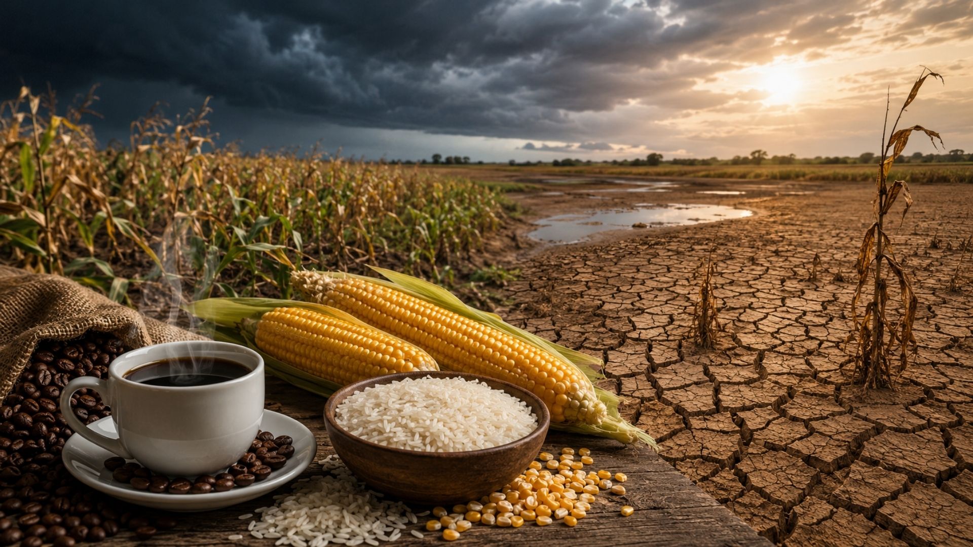
Agriculture is one of the most sensitive areas to the return of El Niño. Changes in the rain regime can affect planting, crop development, harvesting, irrigation, and rural logistics.
Even before concrete impacts, the possibility of climate change already requires the producer’s attention. Decisions about the agricultural calendar, water storage, and crop choice can be influenced by seasonal forecasts.
As NOAA still points to uncertainty about the intensity of the phenomenon, planning needs to consider different scenarios. A weak El Niño may have minor effects, while a more intense event may increase risks in vulnerable regions.
The advantage of an early warning is precisely to allow preparation. Climate monitoring, rural insurance, soil management, and irrigation can reduce losses when the forecast starts to indicate a change in pattern.
Energy and supply may also feel pressure
The energy sector monitors El Niño because rain and temperature influence reservoirs, electricity demand, and hydroelectric generation. In a country dependent on large water systems, climate fluctuations can have economic repercussions.
If there is drought in strategic areas, the pressure on reservoirs may increase. If there is above-average heat, energy consumption may also rise due to increased use of ventilation and refrigeration.
The risk is not automatic, but the warning signal is relevant. A climate phenomenon with a high probability of formation requires operators and managers to monitor short, medium, and long-term forecasts.
Besides energy, urban supply can also be affected in regions that depend on regular rains. Therefore, El Niño is of interest not only to meteorologists but also to governments, companies, and consumers.
Cities need to observe extremes
In cities, the impacts of an El Niño can appear in different ways. Prolonged heat puts pressure on public health, increases thermal discomfort, and can exacerbate problems in dense urban areas.
On the other hand, episodes of extreme rain increase the risk of flooding, landslides, traffic interruptions, and infrastructure damage. When the weather deviates from the norm, cities usually feel it first in basic services.
Civil defense, urban drainage, weather alerts, and communication with the population gain importance in this scenario. Preparation depends not only on weather forecasts but also on local response capacity.
As the NOAA bulletin indicates possible persistence of El Niño until 2027, monitoring needs to be continuous. It is not a matter of a few days, but a climate pattern that can influence entire months.
Intensity is still the biggest unknown
Although the chance of formation is high, NOAA made it clear that the maximum strength of El Niño was still uncertain. No intensity category exceeded a 37% probability in the cited forecast.
This is important because stronger events can increase the chance of certain impacts, but do not automatically guarantee severe effects everywhere. The relationship between El Niño intensity and regional impact is not simple.
NOAA itself emphasizes that strong events make some impacts more likely, but do not ensure they occur with equivalent force in each region. Therefore, seasonal forecasts need to be followed along with local updates.
The next ENSO bulletin was scheduled for June 11, 2026, which should help confirm whether the transition has really consolidated and what the phenomenon’s behavior might be in the following months.
Brazil enters a phase of climate attention
The possible return of El Niño in 2026 puts Brazil in a phase of attention. NOAA’s 82% forecast for May to July and the indication of persistence until 2027 show that the phenomenon can influence decisions in various sectors.
Agriculture, energy, cities, and risk management need to monitor the evolution of the Pacific and climate models. The alert does not mean panic, but requires planning before the impacts appear.
The big question now is the intensity of the event and how it will interact with other atmospheric patterns. This answer will be decisive to understand where Brazil might face more heat, drought, or extreme rain.
And you, do you think Brazil is prepared for a new El Niño in 2026, or does it still react too late when the weather starts to get out of control? Share your opinion.