






 Portuguese
  Spanish
  3 min of reading
  0 comments


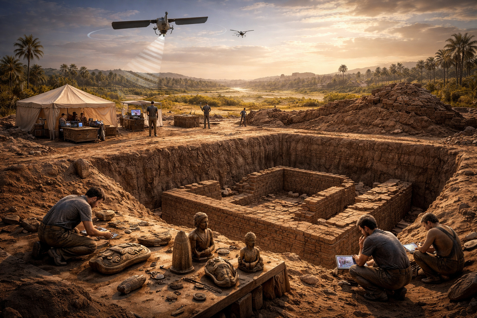
Geophysical technology and orbital images reveal hidden structures, guide excavations, and expand historical understanding of ancient Egypt
The exploration of the ancient city of Buto has made significant progress with the identification of buried structures up to 14 meters deep.
The combined use of electrical tomography and radar images allowed for the mapping of an architectural complex without the initial need for destructive excavations.
The work was conducted at the site of Tell el-Fara’in, where geological conditions have always hindered traditional investigations.
The integration of data generated an accurate three-dimensional map of the hidden anomalies, revealing a complex structural organization beneath the moist soil.
Modern technology reveals hidden structures underground
The region features a dense layer of alluvial sediments and a network of groundwater that complicates conventional excavations.
These conditions required the application of non-invasive methods for subsurface analysis.
-
Helicopter Drops 180 Tons of Sand and Gravel on Swedish River to Revive Ecosystem Damaged by Decades of Exploitation

-
Brazilian Company Launches Retro Smartphone with 48 MP Camera, T9 Keyboard, and Privacy Features for Social Media-Free Use

-
Self-Taught Chinese Farmer Builds 5-Ton Submarine from Scrap, Launches It in Anhui River
-
Invisible Induction Technology Enables Wireless Power for Blenders, Coffee Makers, and Air Fryers, Reducing Countertop Cables





The team used electrical tomographies associated with images captured by the Sentinel-1 satellite.
The equipment is operated by the European Space Agency and allows for the detection of structural variations invisible to the naked eye.
The cross-referencing of this information produced a detailed three-dimensional model.
This mapping guides more precise excavations and reduces unnecessary interventions.
Identified structure indicates a large-scale construction
The analyses revealed an architectural plan measuring about 20 by 24 meters.
The size of the base suggests the existence of a monumental construction.
Researchers consider the possibility of a secondary temple.
Another hypothesis points to a tomb linked to the Egyptian elite.
Confirmatory excavations were conducted between 3 and 6 meters deep.
At this level, robust walls made of mud bricks were found.
The structures were supported by a thick base of sand.
This configuration contributed to their preservation over the centuries.
Complex belongs to the Saite period of ancient Egypt
Preliminary analyses indicate that the complex was used approximately 2,600 years ago.
This period corresponds to the 26th Dynasty, known as the Saite phase.
According to Egyptologists, this dynasty occurred between 664 BC and 525 BC.
The presence of the structure points to a significant resumption of local occupation.
The find concludes an interval of about 1,500 years without major constructions recorded in the area.
This data reinforces the historical importance of the archaeological site.

Objects found confirm religious use of the space
The excavation revealed a collection of devotional artifacts.
The items found indicate intense religious practices at the site.
Among the main finds are amulets depicting Isis, Horus, and Hathor.
Statues of the god Bes, associated with domestic protection, were also identified.
A scarab with an inscription of Pharaoh Thutmose III was recovered.
This object reinforces the symbolic and historical value of the discovery.
Use of satellites enhances efficiency in archaeology
Orbital mapping allows for the identification of variations in soil moisture.
These differences indicate the presence of buried structures.
Subterranean constructions influence the growth of surface vegetation.
These changes are captured by space radars with high precision.
The technique reduces costs and time for archaeological missions.
The method also preserves areas that have not yet been explored.
Next steps should expand the mapping of the site
Researchers plan to expand the electrical survey in the region.
The goal is to completely map the northwest sector of the Nile delta.
The continuous removal of sediments may reveal new hidden structures.
Chambers and possible preserved domes may emerge in the next stages.
The advancement of investigations contributes to reconstructing the Egyptian chronology.
The discovery raises a central question: what else remains hidden beneath the soil of ancient Egypt?





-

1 person reacted to this.