






 Portuguese
  Spanish
  5 min of reading
  0 comments


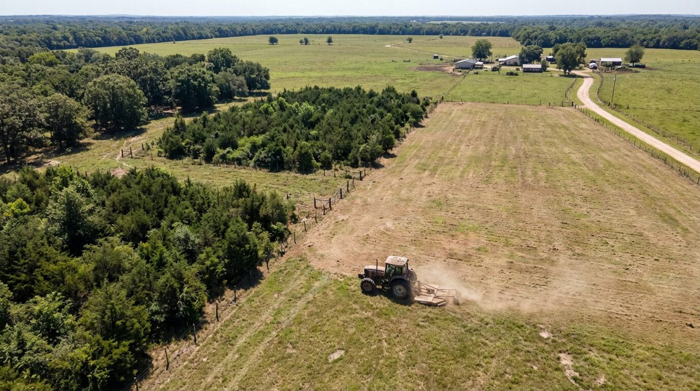
Satellite Monitoring Already Identifies Rapid Changes in Vegetation Cover and Triggers Automatic Alerts. Fines for Heavy Cleaning of Pastures Can Reach Up to R$ 6 Thousand Per Hectare and May Come with Immediate Embargo. Prevention Involves Technical Documentation, APP Verification, and Proof of Consolidated Area.
Rural producers have been penalized after performing the so-called heavy cleaning of pastures, when management reaches native vegetation in regeneration. Supervision has advanced with remote analysis, and today the satellite compares images at short intervals, detecting sharp changes in soil cover.
According to state and federal environmental agencies, the systems cross data with the Environmental Rural Registry (CAR), boundaries of Permanent Preservation Area (APP) and Legal Reserve (RL), as well as the land use history. In many cases, the infraction arises from remote analysis, with subsequent on-site inspections potentially waived, according to local regulations.
The central problem occurs when the mowing reaches native vegetation in regeneration — the scrub — and the algorithm interprets it as suppression. The satellite does not distinguish exotic grass from natural regeneration, which is why common mowing can be interpreted as irregular intervention.
-
Low-Demand Brazilian Beef Offal Gains Popularity Abroad: Indonesia Purchases $19.5 Million, Boosting Revenue and Reducing Waste

-
Soy Expansion in Former Brazilian Savanna Sparks Water and Land Conflicts in Major Agricultural Frontier
-
Mexican Pest Threatens U.S. Cattle Herds at Historic Lows, Potentially Boosting Brazilian Beef Exports as Burger Prices Soar

-
Avocado Boom for European and U.S. Markets Fuels Water Crisis in Drought-Stricken Chilean Region


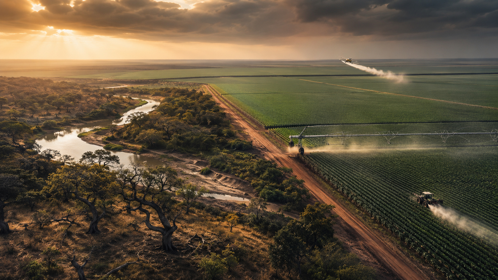


Remote Supervision Advances, Data from CAR, APP and RL Guide Alerts and Expand the Reach of Infractions
High-resolution images show changes in vegetation and, with data cross-referencing, the system identifies whether the area is within APP or Legal Reserve, or if there are signs of expansion of open areas. The mechanism has generated automatic alerts and infraction notices even without immediate field visits.
This scenario pressures the daily management of pastures. Without prior technical documentation and use history, presumptions can weigh against the producer, especially when the area has undergone natural regeneration after degradation.
When Mowing Becomes Environmental Infraction, Laws Define Prior Authorization and Fine Values
According to the Forest Code (Law No. 12,651/2012), the suppression of native vegetation depends on prior authorization from the environmental agency, except for specific cases. The Decree No. 6,514/2008 imposes fines that can range from R$ 5 Thousand to R$ 65 Thousand Per Hectare for destruction or damage to native vegetation without permission.
If the intervention occurs in APP or in naturally regenerating areas, consequences include administrative fines, embargo, and suspension of activities. According to Law No. 9,605/1998 (Environmental Crimes), there may be criminal liability, in addition to rural credit restrictions.
The risk is not limited to the value per hectare. The embargo blocks financing, complicates property commercialization, and creates operational bottlenecks in the penalized area, which weighs more heavily on medium and large farms.
There are also other remote supervision fronts. Access of cattle to rivers, for example, can also constitute an environmental infraction and, according to the same regulatory basis, can result in fines of up to R$ 5 Thousand Per Hectare in scenarios of damage to APP.
Rural Area Consolidated Before July 22, 2008, Is the Turning Point for Legality
The Forest Code defines consolidated rural area as that with human occupation prior to July 22, 2008. If the producer can prove that the area was already pasture before this date, without new suppression, mowing tends to be classified as management.
Without this proof, the remote signal of regeneration can support the infraction for suppression of native vegetation. Hence the importance of keeping evidence of consolidated use and maintaining an updated CAR.
How to Prevent Infraction and Embargo, Practical Steps for Safe Management
Environmental law specialists advise checking if the area is consolidated before 07/22/2008 and confirming that there is no overlap with APP or Legal Reserve. Prevention usually costs less than administrative defense and reduces the chance of embargo.
In several states, it is possible or mandatory to file a Declaration of Area Cleaning (DLA) before intervention. This record officially communicates the cleaning of consolidated pasture, management of invasive species, and management of exotic vegetation, reducing the risk of interpretation as suppression.
Requesting a technical report with ART, taking before and after photos, and archiving the use history helps demonstrate the nature of management. The evidential package provides support in case the satellite indicates significant changes in vegetation cover.
Maintaining georeferencing, maps, and reports simplifies limit checks and reduces suspicion of area expansion. This is especially important in regions with rapid regeneration dynamics after rains and pasture rest.
Consulting an environmental advisory also helps identify sensitive plots, schedule management windows, and adjust the operational plan to avoid areas with indications of scrub.
If the Fine Has Already Been Imposed, Steps for Defense and Review of the Penalty
The technical defense usually gathers report with ART, historical satellite images, proof of consolidated use, and updated CAR. If it is shown that it was a case of consolidated pasture and not native vegetation, the penalty may be reviewed, according to Decree No. 6,514/2008.
However, the process can be lengthy and bring operational uncertainty, with the embargo limiting productive activities until an administrative decision.
Strategic Environmental Management, Technology, and Documentary Evidence Make Management Predictable
The agribusiness now operates under permanent remote monitoring, with digital cross-referencing of environmental data. It is not enough to produce; it is necessary to produce with environmental security and legal predictability, aligning operation, documentation, and law.
According to the Forest Code, the Decree of infractions, and the Law of Environmental Crimes, the line separating management and suppression is the objective proof of consolidated use and the absence of intervention in APP and RL. The technology that imposes fines also serves as evidence when the history of images supports the producer.
Even industry profiles, such as Dr. Carlos Silva Jr on Instagram (@prof.carlosjr), have emphasized the importance of data-driven management in the field. The practical message is clear; with documentation, reports, and DLA, the risk decreases and mowing becomes just management again.
Open Debate, is satellite surveillance balanced with the realities of pasture management or has it gone too far by confusing scrub with invasives? Share your experience; tell if you have adopted DLA, technical reports with ART, and photographic history to protect yourself. The rules of the game have changed with the satellite operating in near real-time, and practical cases help map the limits. Leave your comment, and let’s enrich this discussion with evidence and solutions.





-

1 person reacted to this.