Portuguese
  Spanish
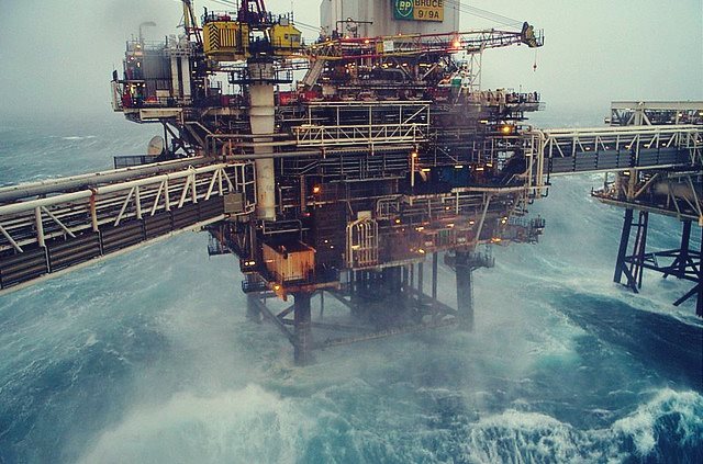
Navy Informs That the Cyclone Formation Area Will Be Offshore, Between Northern Rio de Janeiro and Southern Espírito Santo, Initially Moving South
This Tuesday afternoon, the Brazilian Navy issued a warning about the forecast for the formation of a cyclone between RJ and ES with possible subtropical characteristics, starting tomorrow, Thursday, 23, when it could be classified as Subtropical Depression. Now it’s law! At least 3500 job vacancies for Comperj must be filled by residents of the region
Read Also
- New Offshore Selection Process Open Today by Oil Giant MODEC
- Halliburton Starts New Vacancies, Today They Are for Maintenance Assistants and Engineers
- Vacancies for Safety Technician to Fulfill Contracts in Oil and Gas Company
- To Address New Contracts in Macaé, Engeman Announces at 2:30 PM Yesterday Large Offshore Selection Process
The formation of the cyclone is associated with the establishment of a convergence zone over a region where the sea surface temperature is being observed between 26ºC and 27ºC.
-
OPEC+ Boosts Oil Supply by 188,000 Barrels per Day in July 2026, Leading to Price Drop from $112 to $89 per Barrel in Under Two Months

-
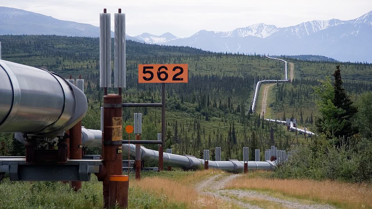
TotalEnergies Signs 20-Year Deal to Purchase 2 Million Tons of LNG from Alaska, Boosting Project Viability
-
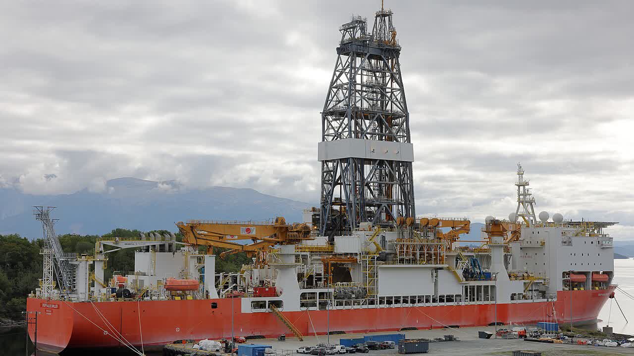
Turkey Deploys Çağrı Bey Drilling Ship to Explore New Oil Frontier Off Somalia’s Coast
-
Golden Pass LNG Ships First Liquefied Gas Cargo from the U.S., Completing $10 Billion QatarEnergy and ExxonMobil Investment


The Brazilian Navy reinforces that if the wind intensity reaches or exceeds 63 kilometers per hour, it will be reclassified as Subtropical Storm “Kurumí,” a term in Tupi-Guarani that means “boy.”
The probable area of formation of the subtropical cyclone will be offshore, between the Northern state of Rio de Janeiro and the Southern state of Espírito Santo, initially moving South, affecting weather and sea conditions between the states of Santa Catarina and Bahia starting on the morning of the 23rd.
Winds are expected to come from the Northeast to North with intensity of up to 87 km/h (47 knots) offshore, between the state of Rio de Janeiro, north of Arraial do Cabo (RJ), and the state of Bahia, south of Caravelas (BA), between the morning of the 23rd and the 25th.
Winds are also expected to come from the Northeast to North with intensity of up to 61 km/h (33 knots) offshore, in the state of Bahia, between the cities of Caravelas (BA) and Ilhéus (BA), between the morning of the 23rd and the 25th.
The winds could cause maritime agitation resulting in waves from Southeast to East with heights between 3.0 and 4.0 meters offshore, between the state of Santa Catarina, north of Laguna (SC), and the state of Rio de Janeiro, south of Arraial do Cabo (RJ), between the morning of the 23rd and the 25th.
Oil companies operating in the risk areas are alert to ensure the safety of their crews. One of them is Shell, which issued the following statement to Petronotícias: “The offshore operational units of Shell Brasil (FPSO Espírito Santo and FPSO Fluminense) are aware of this forecast and prepared for these adverse weather conditions. Under these conditions, onboard activities are constantly evaluated, always prioritizing the safety of the crew and the environment.”