Portuguese
  Spanish
Model Developed by Texas A&M Researchers Predicts Underwater Landslides and Helps Protect Offshore Structures Such As Oil Platforms.
Scientists from the United States announced an important breakthrough in predicting underwater landslides.
The innovation, developed by specialists at Texas A&M University, has the potential to protect oil platforms and other structures on the seabed, reducing serious geological risks that directly affect the energy sector.
Landslides Are a Real Threat to the Offshore Sector
Underwater landslides are among the most dangerous geological events in the marine environment. They involve the sudden displacement of large masses of sediment on the ocean floor, potentially destroying pipelines, anchors, cables, and compromising the entire structure of an offshore platform. In addition to material damage, these landslides can even trigger tsunamis.
-
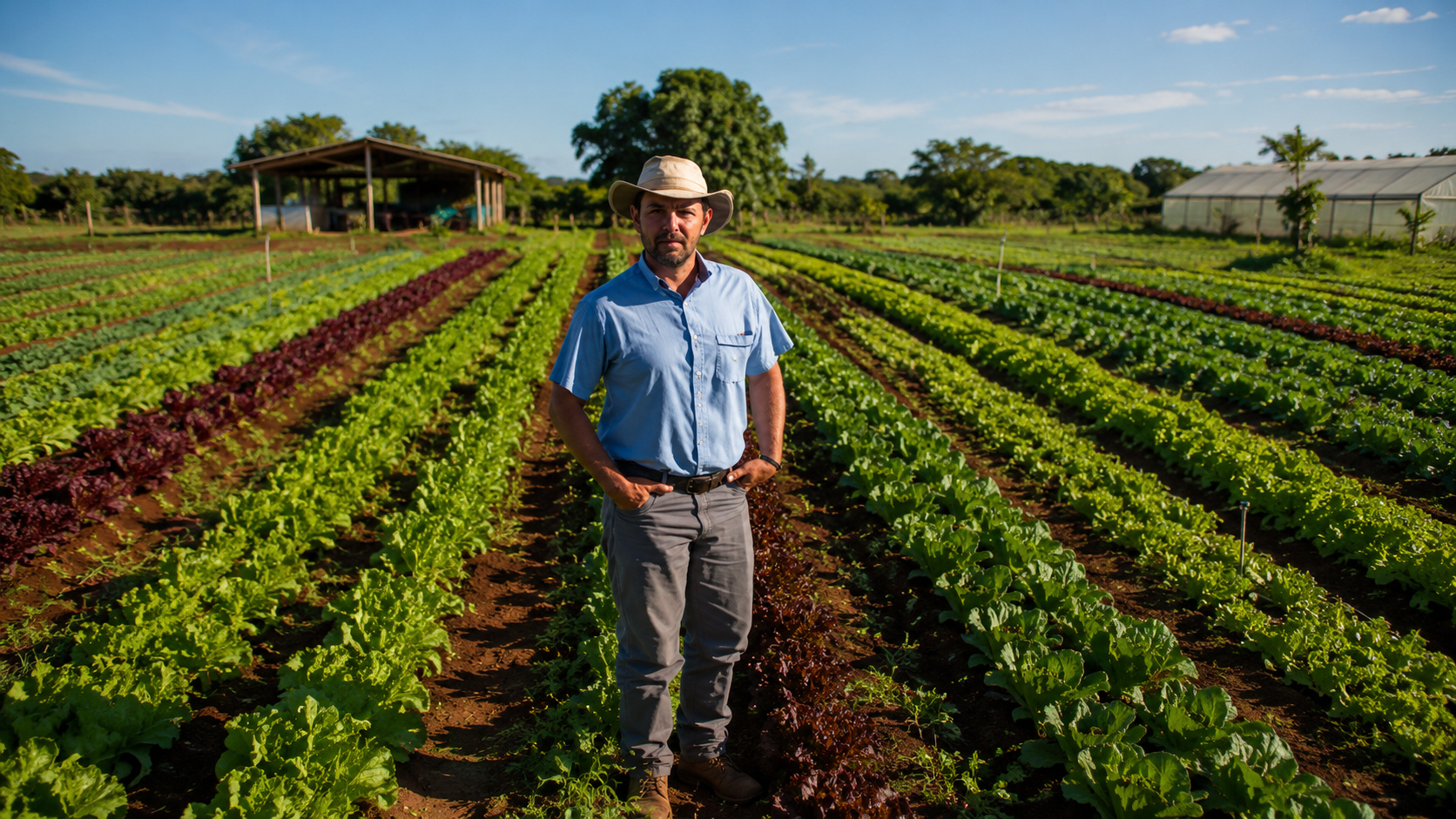
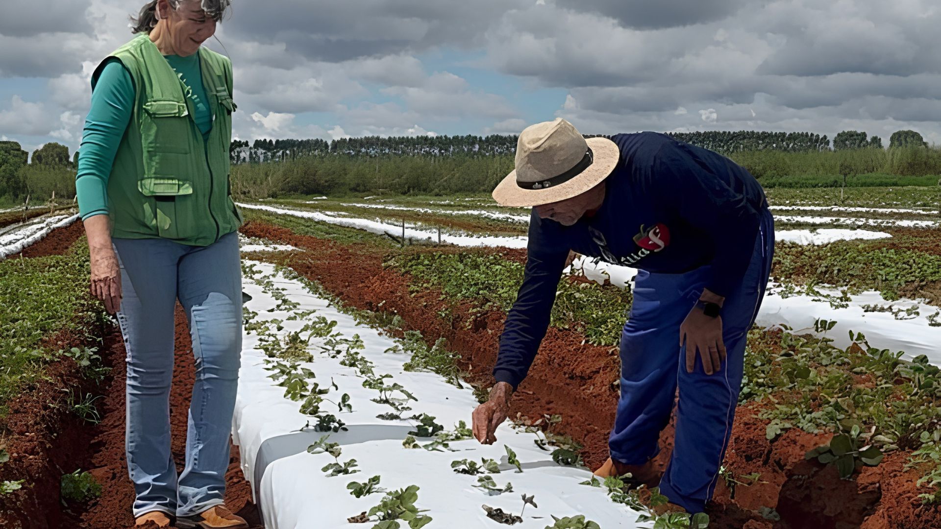
In Andradina, in the interior of SP, a tannery transformed tilapia skin that slaughterhouses used to throw away into exotic leather for bags, shoes, and even wedding dresses, producing about 2,000 pieces per month and exporting to seven countries, proving that fish waste has become high-value fashion.

-
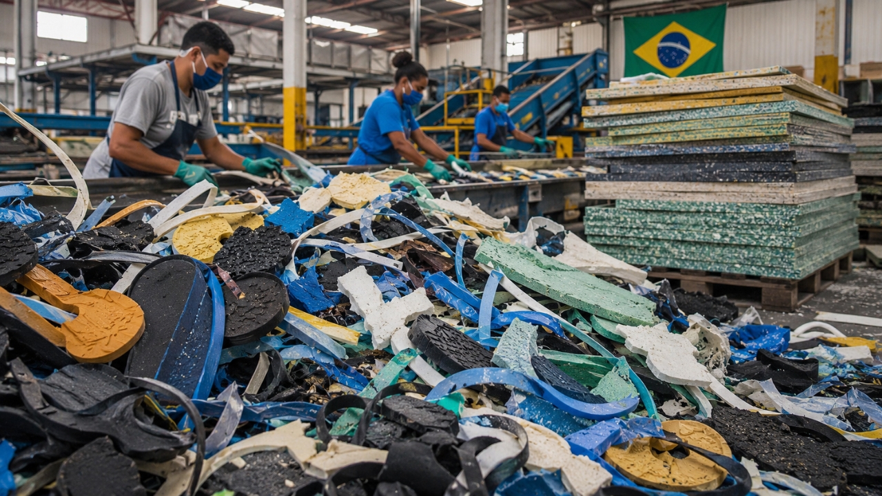
The industrial waste that even recyclers didn’t want has gained value in the interior of Bahia: two entrepreneurs invested R$ 2.8 million to transform 350 tons per year of foam, rubber, and plastic into boards that can replace wood and MDF.

-
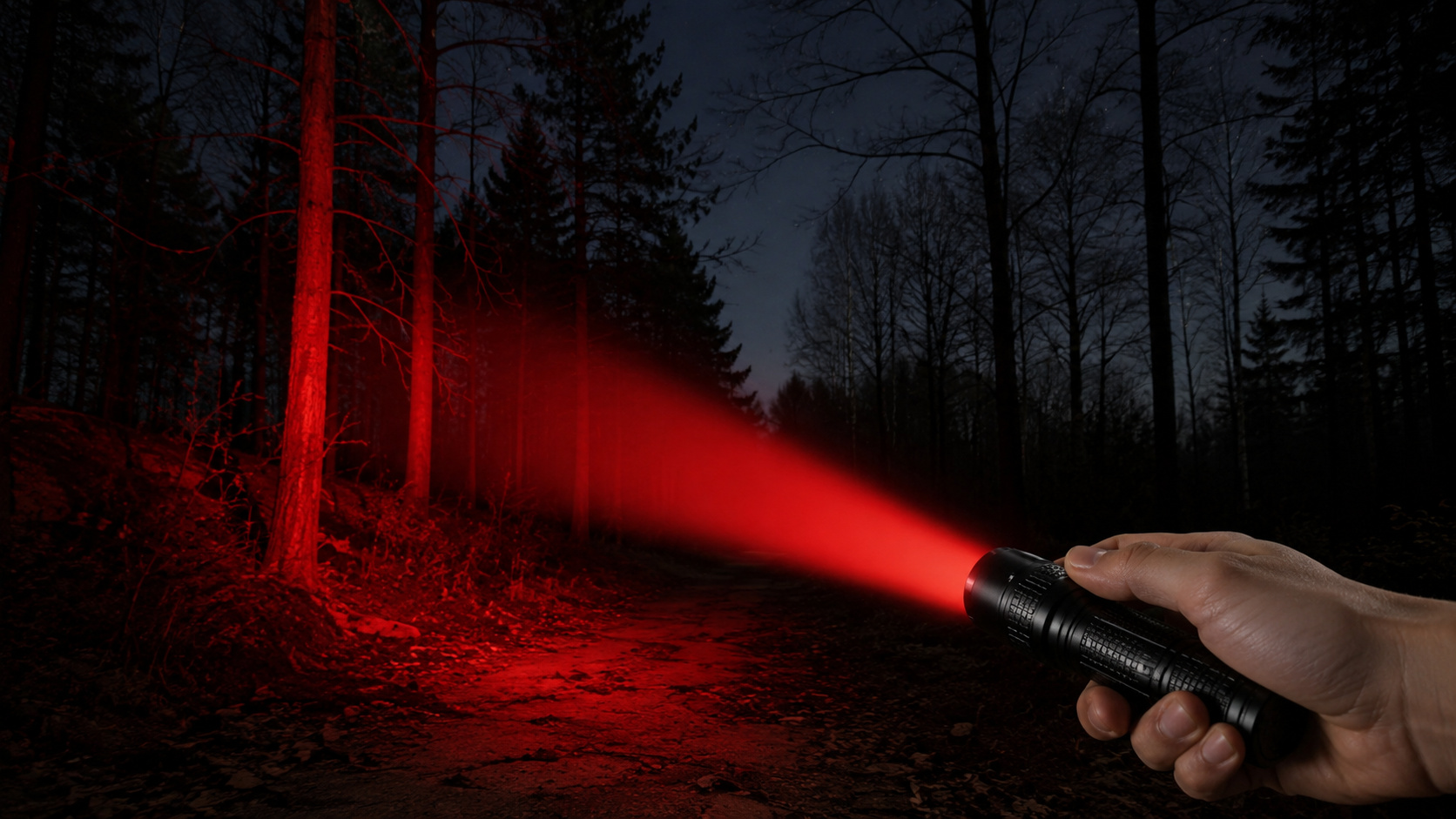
What is a red flashlight used for, after all? See why it is so commonly used at night.

-
He has never read a line of code, but he already knows how to work: the French company UMA presented in Paris the Northstar, its first AI-powered humanoid robot designed for factories and warehouses, capable of copying tasks just by observing an employee in action.

Caused by factors such as earthquakes, storms, or even human actions, these events put the operation of essential infrastructures at risk. In response, American researchers developed a method to predict these occurrences before they cause harm.
Bayesian Model Integrates Data and Improves Predictions
Led by Professor Zenon Medina-Cetina from the civil and environmental engineering department, the Texas A&M team created a model that combines geological data with statistical techniques to predict the risk of landslides. The model uses a Bayesian approach, which allows for continuous refinement of predictions by integrating new data.
The process begins with the collection of information from the site, involving experts from different fields. Geophysicists, geologists, geomatics professionals, and geotechnical engineers work together, each contributing data that feeds the system. The order in which these specialists operate is essential to ensure the accuracy of the results.
Order of Data Affects the Safety of Platforms
According to Medina-Cetina, following the correct sequence in data collection and analysis is what ensures reliable predictions. He emphasizes that interrupting this sequence, whether due to time constraints or budget cuts, can compromise the entire modeling process.
“It is very important to start with the geophysicist, then bring in the geologist, and finally have the geomatics group working with the geotechnical engineers,” the professor stated. He compared the process to a child learning: you cannot run before you learn to walk.
The Bayesian model is structured so that each stage of the analysis is based on the previous one. This allows predictions to become more accurate over time. For companies operating offshore, this represents a strategic tool for assessing risks more safely.
Model Shows Benefits in Practice
With the application of the new approach, researchers claim it is possible to increase confidence in the data obtained and, thus, reduce uncertainties. This helps companies avoid losses and make more accurate decisions regarding the installation and maintenance of their underwater infrastructures.
The initiative demonstrates that integrating technical knowledge with statistical analysis can make a difference in preventing disasters in the offshore environment.
The study was published in the journal Landslides.