
 Portuguese
  Spanish
INMET warns of above-average rain and storms up to 100 mm in Maranhão, Piauí, and Ceará, increasing risk of disruptions at the end of April.
In April 2026, the National Institute of Meteorology placed the northern coast of the Northeast at the center of the rain forecast for the last week of the month, with emphasis on Maranhão, Piauí, and Ceará. According to the forecast released by INMET on April 20, valid for the period from April 20 to 27, 2026, rain could reach 100 mm in isolated spots in these three states, especially in the northern part of the region.
The institute indicates that the highest accumulated rainfall of the week in the Northeast should be concentrated precisely in this area, while the strip between Paraíba and Recôncavo Baiano tends to register more transient rain, with about 40 mm throughout the period. The forecast reinforces a scenario of concern because volumes close to 100 mm in a few days, when concentrated in urban, coastal, or limited drainage areas, can increase the risk of flooding, localized flash floods, and disruptions to the population’s movement.
The alert is not limited to the total volume of rain, but to its intensity and concentration over short periods, a factor that increases the risk of urban and environmental impacts.
-
Apple and Tesla on Alert After Cyberattack on Indian Supplier Exposes Over 200,000 Confidential Files, Industrial Projects, Employee Data, and Potential Trade Secrets on the Dark Web

-
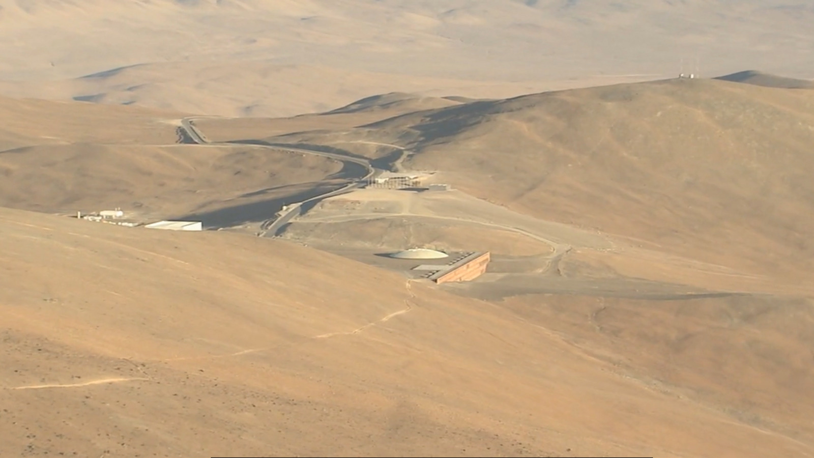
In the Atacama Desert, a Tropical Oasis with Pool and Palm Trees Hosts Astronomers Studying the Universe

-
São Paulo Unveils 500 Electric Buses with $1.3 Billion Investment, Aiming to Cut 20 Million Liters of Diesel Annually and Showcase Clean Mobility

-
Robot Works 900 Hours to Build World’s Tallest 3D-Printed Concrete Tower, 30 Meters High, in Swiss Village of 12 Residents


Forecast indicates volumes up to 75 mm above average in parts of the Northeast
The monthly climate analysis released by INMET shows that practically the entire Northeast region is expected to register above-average rainfall in April, with greater intensity in the northern part of the region.
In the specific case of Maranhão, Piauí, and northern Ceará, accumulated rainfall could be up to 75 mm above average, a significant deviation for the period.

This behavior indicates that the precipitation regime not only remains active but is also more intense than expected. This type of anomaly reinforces the possibility of concentrated episodes of heavy rain throughout the month.
Storms can concentrate large volumes in a few hours
In addition to the increase in monthly volume, another critical factor is how this rain occurs. Convective events typical of the region can cause intense rainfall in short intervals, rapidly raising water levels in urban and rural areas.

INMET highlights that these episodes can reach values close to 100 mm in a single day in isolated spots, especially along the coastal strip. When large volumes are concentrated in a few hours, natural and urban drainage capacity can be overwhelmed.
Northern coast concentrates greater instability due to the Intertropical Convergence Zone’s activity
The main explanation for this pattern lies in the activity of the Intertropical Convergence Zone (ZCIT), an atmospheric system responsible for much of the rainfall in the northern Northeast.
During this time of year, the ZCIT is positioned further south, favoring the formation of heavy clouds and persistent precipitation.

This system acts especially over:
- Northern Maranhão
- Piauí Coast
- Ceará Coastal Strip
The position of the ZCIT is crucial for the volume and frequency of rainfall in the region.
Urban areas may face flooding and disruptions at the end of April
With the increased intensity of rainfall, the risk of impacts in cities also grows. Among the main expected effects are:
- Flooding in areas with limited drainage
- Overflow of urban canals
- Traffic interruption at critical points
- Water accumulation in vulnerable neighborhoods
Coastal cities and densely urbanized regions are the most susceptible to these events.
Electrical discharges and wind gusts increase risk during storms
Events of intense rain in the Northeast frequently come accompanied by additional phenomena.
Among them are:
- Electrical discharges
- Wind gusts
- Possibility of falling branches and structures
Meteorological alerts indicate that winds can reach speeds between 60 km/h and 100 km/h in specific areas, increasing the potential for damage. The combination of heavy rain, wind, and lightning increases the risk level during storms.
Interior of the Northeast shows more irregular precipitation behavior
While the northern coast concentrates the highest volumes, the interior of the region shows more variable behavior. Areas further from the ocean tend to register:
- More transient rains
- Lower accumulated volume
- Greater irregularity in distribution
This contrast between coast and interior is typical of the Northeastern climate pattern. Even within the same region, the impacts can be quite different depending on the location.
Agriculture and rural areas also enter a zone of attention
Excessive rain can impact agricultural activities. Although water is essential for production, high volumes in a short period can cause:
- Soil waterlogging
- Nutrient loss
- Damage to crops
- Difficulties in accessing rural areas
The effect of rain depends not only on the total volume but on how it occurs over time.
April pattern reinforces trend of climatic variability in the region
The behavior observed in April 2026 fits into a broader scenario of climatic variability. Oscillations in the position of the ZCIT and changes in ocean temperature directly influence the intensity of rainfall in the Northeast.

This type of variation can result in periods of excessive rain followed by drier phases. Climatic irregularity becomes an increasingly relevant factor for regional planning.
Given the scenario of instability, monitoring meteorological forecasts becomes fundamental. Alerts issued by official bodies allow for:
- Anticipating risks
- Planning preventive actions
- Reducing impacts in vulnerable areas
Constant updating of forecasts helps identify changes in the behavior of atmospheric systems. Meteorological information becomes a strategic tool for risk management.
Given this scenario, is the northern coast of the Northeast prepared to deal with increasingly intense rain episodes?
The advance of above-average rainfall and the possibility of concentrated storms put Maranhão, Piauí, and Ceará on alert at the end of April.
With high volumes, persistent instability, and potential impacts on cities, infrastructure, and economic activities, the scenario demands constant monitoring.
The question that remains is whether the region is prepared to deal with increasingly intense and concentrated events, in a climate pattern that tends to become more irregular over the years.


Be the first to react!