Portuguese
  Spanish
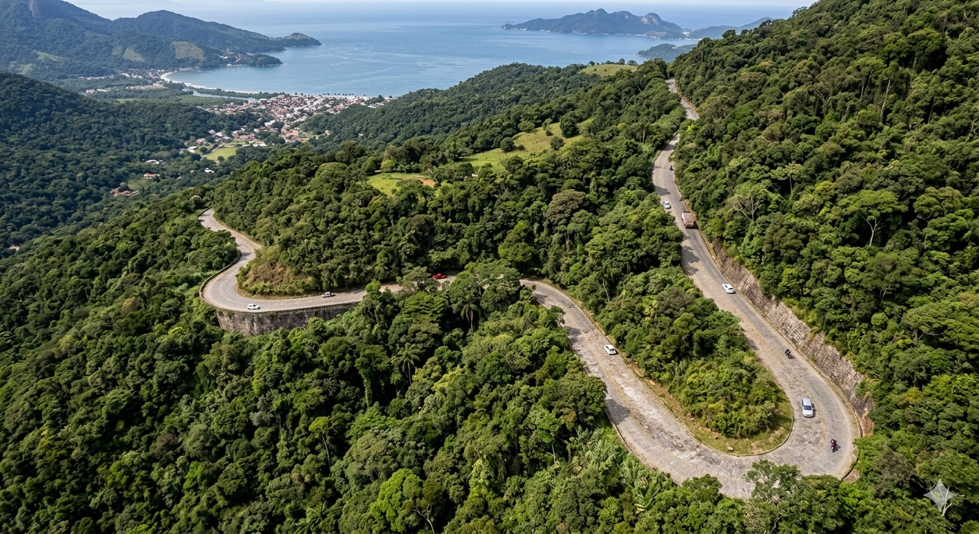
Mangaratiba Road, from 1857, connected the interior to the coast and marked the beginning of modern highways in Brazil. It marked a change in the standard of 19th-century infrastructure.
In May 1857, Imperial Brazil inaugurated a work that changed the logic of land transport in the country: the Mangaratiba Road, built to connect Mangaratiba to São João Marcos and facilitate the flow of coffee produced in the Paraíba Valley and southern Minas Gerais to the coast of Rio de Janeiro. According to a report from Revista Pesquisa FAPESP, published in January 2023, the road was 22 kilometers long and replaced the precarious path used by mule trains that cut through the Serra do Piloto carrying tons of coffee to the port of Mangaratiba.
The road was not just an improved path. It marked a change in the standard of 19th-century infrastructure, being considered by researchers as the first highway in Brazil, with a layout designed for the circulation of animal-drawn vehicles, more resistant paving, and superior conditions compared to the improvised routes of the time.
The Mangaratiba City Hall itself records that the new road was opened in 1855, inaugurated in 1857, and later became known as the Imperial Road, consolidating itself as a landmark of regional development during the imperial period.
-
Engineering Feat in Brazil: 6.4 km Tunnel and Powerful Pumps Overcome 200-Meter Elevation to Save São Paulo’s Cantareira Water System

-
Engineering Students Build Off-Grid Tiny Home with Sustainable Features and Offer Free DIY Guide
-
Historic Brazilian Championship Stadium Demolished for New Supermarket and Shopping Center Development

-
Workers excavate one of the world’s longest railway tunnels beneath the Alps between France and Italy, stretching nearly 60 km, 600 meters deep, with an investment of 11 billion euros.


22 km Road Replaced Precarious Trails Used for Coffee Transport
Before the road’s construction, the transport of goods in the interior of Rio de Janeiro depended on rudimentary paths. These routes were narrow, uneven, and subject to adverse weather conditions, which made travel slow and risky.

Coffee, the region’s main economic product, was transported on muleback, in long journeys with high logistical costs.
The Mangaratiba Road was designed precisely to overcome these limitations, creating a more efficient path between the interior and the coast.
Route Crossed Serra do Piloto with Engineering Adapted to the Terrain
One of the biggest challenges of the work was the geography. The Serra do Piloto presents rugged terrain, with slopes and curves that made the construction of a stable road difficult.
To make the route feasible, it was necessary to adapt the layout to natural conditions, creating ramps, curves, and cuts in the terrain.
The road was neither straight nor simple, but it represented a significant advance compared to previous paths.
Project Allowed Two-Way Circulation of Animal-Drawn Vehicles
Unlike the trails used until then, the road was designed to allow more organized traffic. The width of the road allowed the circulation of animal-drawn vehicles, such as carts and carriages, in both directions.
This increased transport capacity and reduced travel time. For the time, this feature was an important technical leap, bringing Brazil closer to European models of land transport.
Port of Mangaratiba Was a Strategic Point for Coffee Export
The road’s destination was not chosen by chance. Mangaratiba was one of the main ports in the region, used for exporting coffee produced inland.

By connecting the producing areas directly to the port, the road reduced transport stages. This increased logistical efficiency and strengthened the coffee economy, which sustained the Empire during that period.
Work Marked the Beginning of a New Infrastructure Logic in Brazil
The Mangaratiba Road is considered one of the first experiences of modern roadways in the country. It introduced concepts that would be fundamental for the development of highways:
- route planning,
- adequate width,
- continuity of circulation.
This model served as a basis for later projects, which would evolve with the arrival of the automobile in the 20th century.
Land transport begins to gain prominence alongside railways
In the 19th century, Brazil experienced the expansion of railways, which would become the main means of long-distance transport. Even so, roads like Mangaratiba’s remained essential.
They served as a link between areas not served by tracks and railway or port embarkation points. The integration between road and railway was already beginning to take shape during that period.
The construction of the work was carried out with techniques available at the time, without the use of modern machinery.
This involved intense manual labor, with excavation, leveling, and soil compaction. The road was literally molded into the terrain, respecting the technological limitations of the 19th century.
Road helped reduce costs and increase transport speed
With the new route, coffee transport became faster and less costly. The replacement of trails with a structured road allowed for a greater volume of cargo per trip.
This had a direct impact on the competitiveness of the Brazilian product in the foreign market. More efficient logistics contributed to consolidating coffee as the basis of the national economy.
Project shows how infrastructure shapes economic development
The Mangaratiba Road is a clear example of how infrastructure works can transform regions. By improving access to the port, it altered production and trade flows.
Nearby cities became more efficiently integrated into the economy. The road not only connected geographical points but reorganized the local economic dynamic.

Compared to current highways, the road may seem simple. However, within the context of the 19th century, it represented innovation.
It was a practical solution to a real logistical problem, using available resources. This type of adaptation was fundamental for the initial development of Brazilian infrastructure.
The foundation of current highways began with projects like this
Modern highways, with paving, signaling, and high capacity, are the result of an evolution that began with experiences like the Mangaratiba Road.
The concept of a planned road, with a continuous route and a defined logistical function, emerged during this period. Without these initial works, the road expansion of the 20th century would have been much slower.
Now the direct question remains: if a road of only 22 kilometers was already capable of transforming the transport and economy of an entire region, to what extent are small infrastructure works still capable of generating impacts as significant as current megastructures?