Portuguese
  Spanish
Discover The Steps And Technologies Used To Find And Evaluate Onshore Oil Reserves, From Initial Geological Studies To Drilling And Commerciality Declaration.
The search for onshore oil is a complex and scientific endeavor. It involves advanced technology, high risk, and significant investment. Far from being random, exploration follows a rigorous process, divided into phases. This guide details how onshore oil is found.
Surface Geology And Geochemistry
Onshore oil exploration starts with the identification of promising sedimentary basins. Geoscientists map rocks on the surface. They analyze aerial photographs and satellite images. They also look for natural oil or gas seeps, known as “seeps.”
Stratigraphy studies (rock layers) and structural geology (faults, folds) help understand the subsurface architecture. Geochemical prospecting complements this phase. It analyzes gases in the soil or the presence of specific microorganisms. These techniques seek chemical anomalies that may indicate the presence of hydrocarbons at depth.
-
OPEC+ Boosts Oil Supply by 188,000 Barrels per Day in July 2026, Leading to Price Drop from $112 to $89 per Barrel in Under Two Months

-
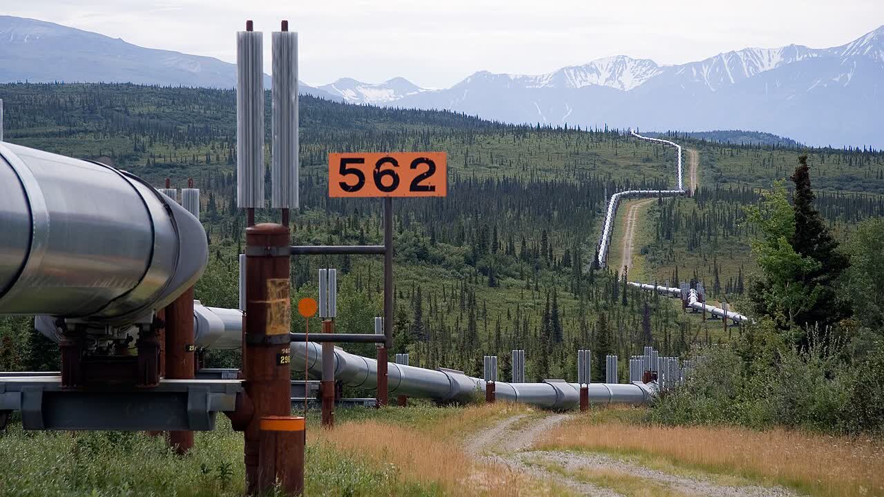
TotalEnergies Signs 20-Year Deal to Purchase 2 Million Tons of LNG from Alaska, Boosting Project Viability
-
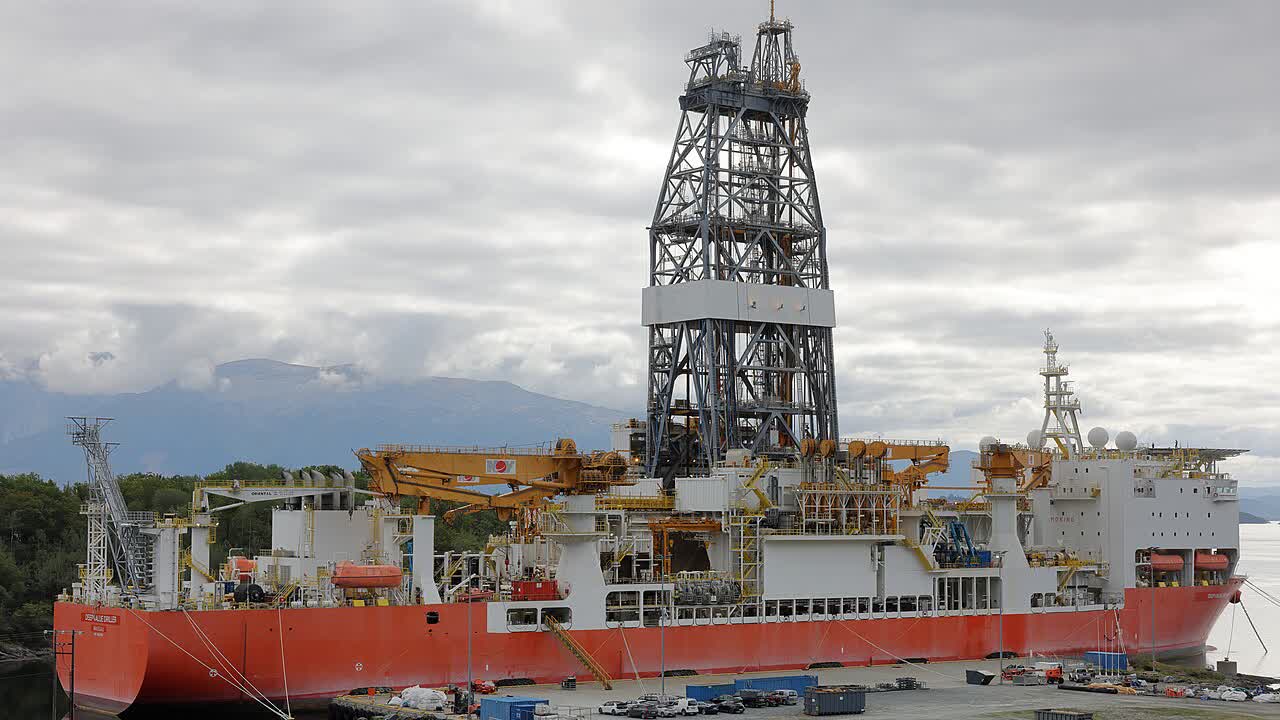
Turkey Deploys Çağrı Bey Drilling Ship to Explore New Oil Frontier Off Somalia’s Coast
-
Golden Pass LNG Ships First Liquefied Gas Cargo from the U.S., Completing $10 Billion QatarEnergy and ExxonMobil Investment


Geophysical Investigation: The “Eyes” Below The Earth

After surface studies, geophysical investigation “visualizes” the subsurface. The goal is to map geological structures and identify potential traps for onshore oil.
Seismic surveys (2D and 3D) are the main tool. Acoustic waves are generated at the surface. Their reflections in rock layers are recorded by geophones. These processed data create images of the subsurface.
Other methods include gravimetry, which measures variations in the gravitational field. Magnetometry measures variations in the magnetic field. Both help delineate basins and deep structures. Geoelectric methods measure the resistivity of rocks, indicating types of fluids. The integration of all these geophysical and geological data builds an exploratory model.
Exploratory Drilling
With a promising location (prospect) identified, the drilling of the exploratory well occurs. This pioneering well, known as a “wildcat,” is the moment of truth. It tests geological hypotheses and confirms or denies the presence of onshore oil.
Land drilling rigs carry out the operation. They use steel pipe columns, special drill bits, and drilling fluids (mud). As the well advances, it is lined with steel and cemented to ensure stability and safety. Technologies such as directional and horizontal drilling are used to optimize access to reservoirs.
Confirming The Discovery Of Onshore Oil
After reaching the target depth, the well is evaluated. Well logging utilizes probes with sensors. These sensors measure the physical properties of rocks, such as resistivity and radioactivity. They help identify the type of rock and the fluids present.
Drill Stem Tests (DST) are conducted to evaluate the productive capacity of a zone. They measure the flow rate and pressure of fluids and collect samples. Core analysis provides detailed data on porosity, permeability, and fluid saturation.
From Discovery To Commerciality
The mere presence of onshore oil does not guarantee its extraction. The discovery needs to be commercially viable. The operating company notifies the regulatory agency (such as ANP in Brazil).
A Discovery Assessment Plan (PAD) may be required. This plan includes the drilling of more delineation wells and additional seismic surveys. A detailed technical-economic analysis is carried out. It considers recoverable volumes, development and operating costs, and the price of oil.
If the analysis is positive, the company declares the commerciality of the discovery. It then presents a Development Plan for the production of the onshore oil field.
Brazilian Onshore Oil Scenario
Onshore oil exploration benefits from constant innovations. Artificial Intelligence (AI) and Machine Learning are used to analyze large volumes of geoscientific data. This aids in seismic interpretation and reservoir modeling.
Advancements in seismic acquisition, drilling technologies, and logging enhance efficiency and accuracy. In Brazil, land basins such as Recôncavo, Potiguar, Solimões, and Parnaíba remain relevant. The National Agency of Petroleum, Natural Gas and Biofuels (ANP) and the Geological Service of Brazil (SGB/CPRM) work to foster and regulate the onshore oil sector.