Portuguese
  Spanish


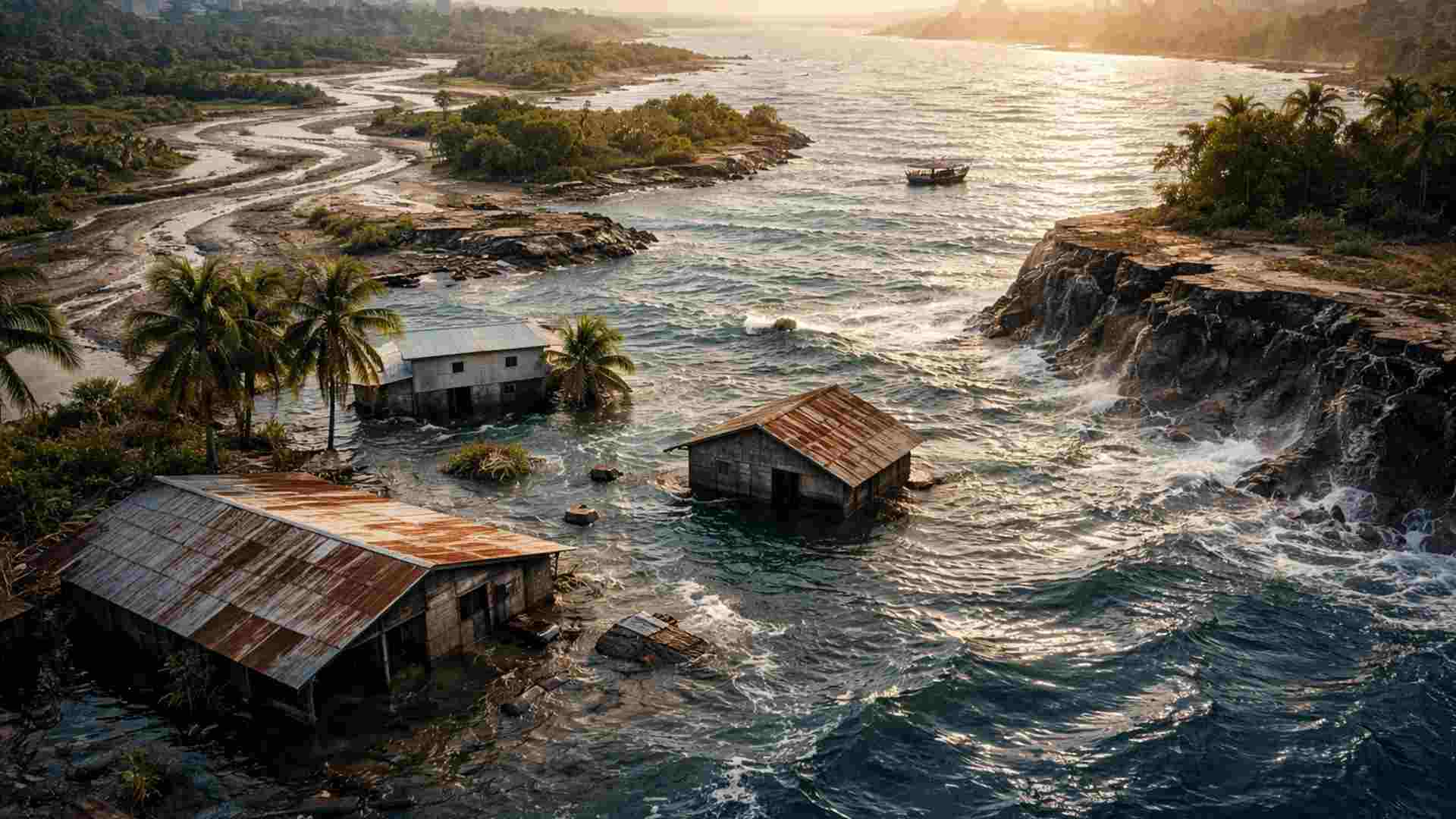


Global Study Based on Data from Satellite Sentinel-1 Analyzed 40 Large River Deltas Between 2014 and 2023 and Identified That, in 18 of Them, Annual Soil Subsidence Exceeds Average Sea Level Rise, Expanding Risks of Flooding, Territorial Loss, and Salt Intrusion in Densely Populated Areas
A global study based on satellite data reveals that 18 of the 40 largest river deltas in the world are sinking at annual rates exceeding the average global sea level rise, increasing risks of flooding, land loss, and salt intrusion in densely populated regions.
Researchers analyzed soil subsidence in 40 large river deltas between 2014 and 2023 and found that in nearly half of them, the annual sinking exceeds the estimated average global sea level rise of about 4 millimeters per year.
The study points to groundwater extraction as the main cause.
-
Oceanographer Turns Abandoned Fishing Nets from Brazilian Waters into Bags, Creating Jobs and Earning Over $7,000 Monthly

-
Australia deploys poisoned sausages and uses traps, shooting, and fences in a battle against invasive cats that kill over 1.5 billion native animals annually, threatening more than 200 species.

-
NASA Rover Captures “Tired Face” on Mars, Highlighting Human Brain’s Tendency to See Faces in Rock Formations

-
Ancient Stone City in the Desert, Once Home to 30,000, Puzzles Scientists with Nabateans’ Water Mastery 2,000 Years Ago





Global Study with Data from Sentinel-1 Identifies Widespread Subsidence
The research utilized data from the satellite Sentinel-1 to measure variations in land elevation associated with subsidence, sediment deposition, and erosion.
The authors classify the work as the most comprehensive and high-resolution global assessment ever conducted on the subject.
According to the results, all analyzed deltas, except for the Rio Grande Delta, presented points where the land is sinking faster than global sea level is rising. In 38 deltas, more than 50% of the area experienced subsidence over the studied period.
Eighteen Deltas Exceed Global Sea Level Rise Rate
Of the 40 deltas examined, 18 recorded average annual subsidence rates higher than the current rate of sea level rise. Among them are deltas of significant global relevance, such as those of the Nile, Amazon, Mississippi, and Ganges-Brahmaputra.
In 19 deltas, including the Mississippi, Nile, and Ganges-Brahmaputra, over 90% of the total area exhibited subsidence. These figures indicate that land sinking is a dominant factor in relative elevation loss in these regions.
Most Affected Deltas Register Average Sinking of 8 mm Per Year
The most impacted deltas identified in the study were those of the Chao Phraya in Thailand, the Brantas in Indonesia, and the Yellow River in China. In these areas, average sinking rates reached about 8 millimeters per year.
This value corresponds to approximately double the global average sea level rise rate. According to the researchers, this significantly accelerates coastal risks beyond what projections based only on climate change would indicate.
Groundwater Extraction Emerges as Main Anthropogenic Cause
The detailed analysis of the data showed that changes in groundwater storage are the most influential anthropogenic factor in global observed subsidence. Intensive extraction of water for urban, agricultural, and industrial use causes soil compaction.
The study points out that, although groundwater pumping is already known as a local cause of subsidence, its consistent dominance on a global scale drew the authors’ attention, even when compared to other relevant human pressures.
Urbanization Intensifies Soil Compaction in Large Deltas
In addition to groundwater extraction, urban expansion contributes to sinking by adding significant weight on naturally compressible soils. Large population concentrations exert direct physical pressure and increase demand for groundwater.
River deltas host between 350 million and 500 million people worldwide. These regions are home to 10 of the planet’s 34 megacities, as well as essential infrastructure such as ports and transportation systems.
Reduction of Sediments Aggravates Land Loss in River Deltas
Another relevant cause of subsidence identified is the reduction in sediment load transported by rivers to the ocean. Dams, levees, and river control strategies alter the natural balance between sediment deposition and sea level rise.
In the Mississippi River Delta, for example, about 5,000 square kilometers of land have been lost since 1932 due to the combined effects of dams, levees, and erosion. The reduction of sediment inputs limits the delta’s natural ability to compensate for sinking.
Double Burden Increases Risks of Flooding and Population Displacement
The authors describe the situation faced by deltas as a “double burden,” a result of the combination of sea level rise and soil subsidence. This interaction elevates the risk of catastrophic flooding and displacement of millions of people.
According to the study, there is a significant discrepancy between risk and response capacity. Deltas that sink more rapidly tend to be in regions with fewer economic and institutional resources to deal with the impacts.
Subsidence is Seen as a Potentially Controllable Phenomenon
Despite the described scenario, the researchers highlight that the main factors of subsidence in deltas are of human origin, which represents an opportunity for intervention. According to the study, subsidence is generally controllable.
Among the measures cited are reducing groundwater extraction, replenishing aquifers with floodwater or treated sewage, as well as controlled flooding and sediment diversion to increase natural deposition.
Integrated Measures Can Reduce Long-Term Risks
The authors assert that restricting heavy infrastructure construction in areas more prone to subsidence can help slow down sinking. These actions should be combined with flood protection policies and climate adaptation.
According to the study, when integrated, these measures have the potential to significantly reduce the long-term risks faced by some of the most populated and vulnerable coastal regions in the world.