Portuguese
  Spanish
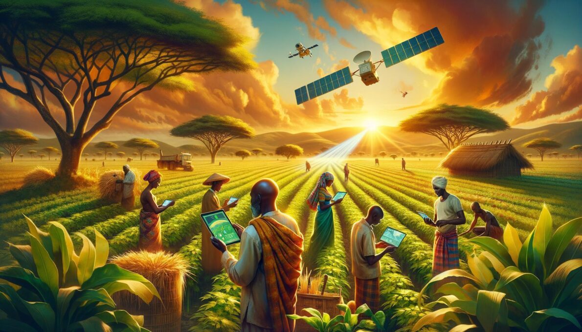
Improving Agricultural Production With Satellites Empowers African Farmers
Last year, Olabokunde Tope faced an unpleasant surprise on his cassava farm in Ibadan, Nigeria. While some areas thrived, a significant plot was dry and pale due to an unexpected lack of rainfall. The loss was estimated at over 50 million naira (US$ 32,000).
Challenges Faced by Farmers
Tope and his team sought ways to prevent future losses. They decided to work with EOS Data Analytics, a California-based company that provides satellite imagery and data for precision agriculture. EOS’s technology uses wavelengths of light, including near-infrared, to measure variables such as moisture levels and chlorophyll content.
-
Engineers Develop Fridge-Sized Machine to Produce 95-Octane Synthetic Fuel from Air and Water, Aiming to Sustain Combustion Engines Without Oil

-
Two-Armed Robot Uses AI to Reassemble Destroyed Pompeii Frescoes, Solving an “Impossible” Puzzle
-
New Law in Brazil Requires Breaks for Type 1 Diabetes Management at Work, School, and Public Exams

-
Scientists Confirm “Greening” of Antarctica: Ice on the World’s Coldest Continent Turns Green as Mosses Multiply Over Tenfold in Four Decades


How Satellite Technology Is Helping
EOS’s models and algorithms provide weekly insights into crop health via an online platform. This enables farmers to make informed decisions about when to plant, how much herbicide to use, and how to schedule the use of fertilizers, weeding, or irrigation.
Initially, EOS relied on satellite images from the European Union’s Sentinel-2, which has a maximum resolution of 10 meters. However, this resolution was limited for identifying issues on smaller farms. In response, EOS launched EOS SAT-1, a satellite designed exclusively for agriculture.
Impact on African Agriculture
In many developing countries, agriculture suffers from a lack of data. Traditionally, farmers relied on experience and hope. Daramola John, a professor of agriculture at Bells University of Technology, states that Africa is lagging in modernizing agriculture, resulting in significant losses for many farmers.
In the spring of 2023, Tope’s company, Carmi Agro Foods, used GPS-enabled software to map the boundaries of their farm and set up EOS’s crop monitoring platform. This eliminated the need for rigorous and risky manual monitoring. Field monitoring officials can now use their phones to know where and when specific areas need attention.
Growing Adoption of Technology
This technology is gaining popularity among farmers in Nigeria and other parts of Africa. More than 242,000 people in Africa, Southeast Asia, Latin America, the United States, and Europe use EOS’s crop monitoring platform. In 2023, 53,000 new farmers signed up for the service.
Adewale Adegoke, CEO of Agro Xchange Technology Services, used the platform across half a million hectares owned by 63,000 farmers. He reports that the yield of corn farmers using the platform increased to two tons per acre, at least double the national average.
Promising Results
With harvest approaching this year, Tope reports that the prospects for his cassava planting, which now spans one thousand hectares, are promising. Thanks to the ability to anticipate and counter periods of drought, he has been able to better space the plantings and follow guidelines on weeding, fertilizer use, and other crop care.
“So far, the results have been convincing,” says Tope. “We are no longer subjecting our farm’s performance to chance. This time, we are in control.”
For more information, visit the original source.