Portuguese
  Spanish
Between the Serra do Mar and the industrial pole, Cubatão concentrates rare geography, environmental memory, and strategic infrastructure in the same territory, gathering elements that transformed the city into one of the most known cases in the country when science and development intersect.
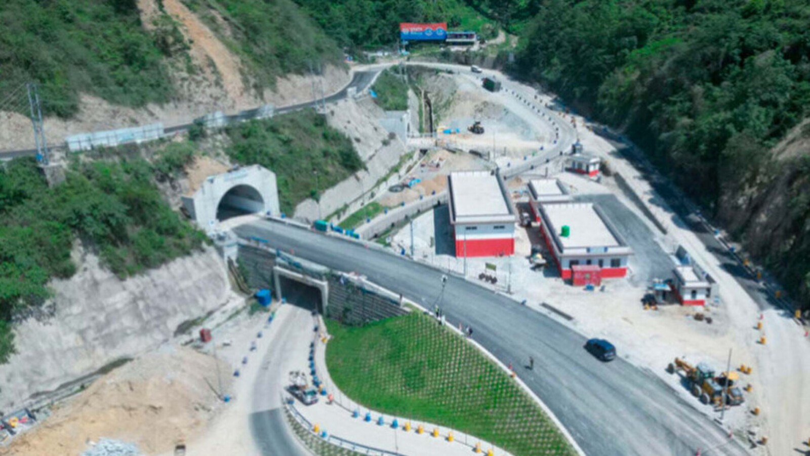
Cubatão brings together, in the same territory, slopes of the Serra do Mar, mangrove areas, channels, pipelines, railways, and one of the most well-known industrial poles in the country.
This combination helps explain why the city has entered history both for the environmental crisis that marked its image and for the recovery that became a reference in studies on pollution control.
The municipality, on the São Paulo coast, also draws attention for a less remembered fact outside the Baixada Santista: its geography has never been just a backdrop.
-
Tourist Discovers Forgotten Joaquín Sorolla Painting Worth Up to 60,000 Euros While Strolling in Seville

-
Brazil’s Fernando de Noronha Boasts World’s Most Beautiful Beach, Accessible Only by Descending 208 Cliffside Steps and With No Food Vendors Allowed

-
Wave Rock: Australia’s Giant Granite Wave Stands 15 Meters Tall, Spans 110 Meters, and Showcases 2.7 Billion Years of Erosion in the Australian Desert
-
How to Unclog Showerhead Holes Blocked by Limescale and Hard Water Without Replacing or Hiring a Technician


In Cubatão, relief, climate, drainage, and urban occupation directly interfere with industry, the environment, and the daily lives of the population.
It was in this scenario that the city began to be associated, especially in the 1970s and 1980s, with one of the most serious environmental situations in Brazil.
The expression “the most polluted in the world” gained space in reports and studies about the period.
The concentration of heavy industries, combined with the lack of adequate control over emissions for many years, produced a picture of air pollution, environmental contamination, and damage to the vegetation of the Serra do Mar.
It was from this phase that the nickname Valley of Death emerged, incorporated into the news of the time.
Geography of Cubatão and environmental crisis
In Cubatão, the environmental crisis cannot be understood solely by the number of factories.
Technical reports from CETESB indicate that the very configuration of the terrain aggravated the problem.
Cramped between the plain and the mountain, the city has conditions that, at certain times, hindered the dispersion of pollutants.
This means that the pollution released into the air did not find the same ease of circulation observed in other geographical contexts.
Instead of dispersing quickly, part of this load remained over the region, which intensified the effects on vegetation, rivers, and the health of the population.
For this reason, Cubatão became a frequent subject of research in different areas.
Studies began to analyze, simultaneously, air quality, respiratory impacts, degradation of the Atlantic Forest, relief behavior, and forms of urban occupation.
The municipality ended up becoming a case of interest not only environmentally but also scientifically.
The city helps to show, for example, that industrial pollution does not depend only on the emitting source.
It is also influenced by how the territory responds to this emission.
In Cubatão, this factor played a significant role and frequently appears in technical documents about the region.

Environmental recovery and pollution control
The turnaround did not come from a single project or an isolated solution.
According to official records, the process began to consolidate with the implementation of the Environmental Pollution Control Program in Cubatão, led by the CETESB.
The response included stricter inspection, reduction targets, requirements for control equipment, and continuous monitoring of polluting sources.
In practice, this meant changing industrial routines and making environmental control part of the operation.
Over time, filters, emission abatement systems, effluent treatment, and more rigorous waste management became part of this effort.
At the same time, degraded areas of the Serra do Mar entered recovery programs with replanting and seeding of native species.
Public documents from the State and the municipality indicate that this set of measures led to a significant reduction in emissions and changed Cubatão’s image over the years.
The city then began to be cited as an example of environmental recovery in an industrialized area.
Geology, soil, and risk in Cubatão
Another aspect that helps explain Cubatão is underfoot.
Geographic and geological studies show that the municipality brings together terrains linked to the coastal plain and areas directly influenced by the slopes of the Serra do Mar.
In practice, this interferes with decisions about construction, drainage, infrastructure implementation, and risk monitoring.
In a city like this, the environmental discussion is not limited to what comes out of the chimneys.
It also involves the behavior of the soil, water, and slopes.
Technical surveys record, for example, the recurrence of landslides and floods in sectors of the region.
This scenario forces public authorities and productive sectors to consider geology as part of urban and industrial planning.
This is precisely what makes Cubatão such a particular case.
There, the territory does not function as a neutral backdrop.
It participates in the problem and also in the solutions, since any relevant project depends on a technical understanding of relief, drainage, and environmental vulnerability.

Cubatão Industrial Hub and Strategic Importance
Environmental recovery has not diminished the economic importance of the city.
Data from IBGE shows that Cubatão continues to have a strong industrial presence, supported by its logistical position between the productive hub and the Port of Santos.
This location explains why the municipality remains relevant for chains linked to petrochemicals, steelmaking, fertilizers, and the circulation of inputs.
At the same time, the local case has come to be seen as an example that heavy industrial activity and environmental control need to go hand in hand.
More than just a story about the past, Cubatão continues to be a reference when the debate involves cities located in environmentally sensitive areas.

The municipality brings together, in the same space, Atlantic Forest, slopes, logistical infrastructure, and large-scale industrial production.
For this reason, the city often appears in research and public documents as a meeting point between science, territory, and industry.
What happened there shows that the relationship between development and the environment does not depend solely on technology, but also on how each territory reacts to occupation and the intensive use of resources.
Cubatão remains, thus, one of the most well-known cases in the country to understand how relief, climate, urbanization, and industrial production can intersect critically.
And perhaps this is the most curious aspect of its trajectory: the city that became a symbol of pollution also became one of the most remembered experiences when the subject is environmental recovery in industrial areas.