Portuguese
  Spanish
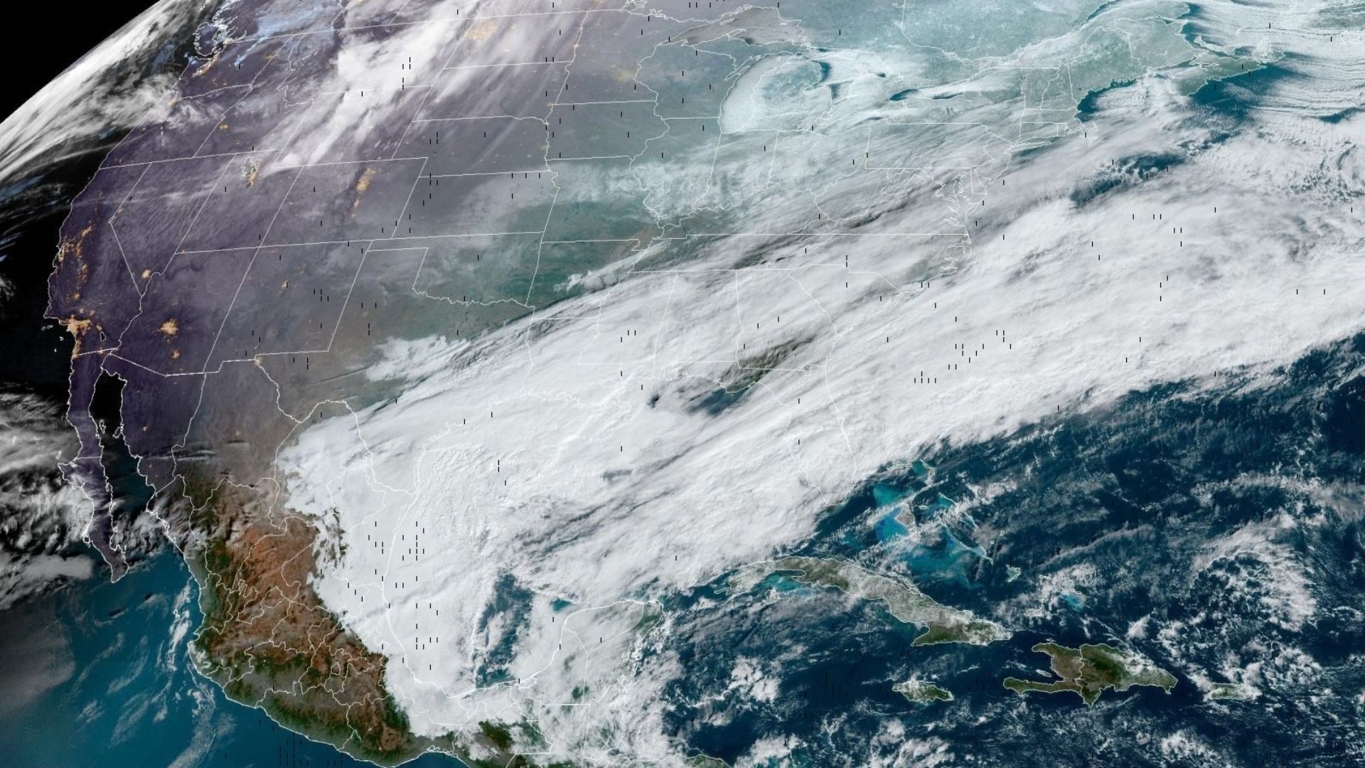
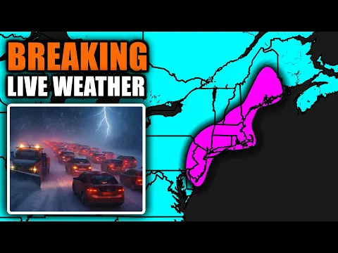
Historic Storm With Bomb Cyclone Hits Eastern US, Causes Snow Above 60 Cm, Intense Gusts and Paralyzes Services in Large Cities, Leaving Millions on Alert and Revealing Impressive Satellite Images of the Core Over the Atlantic.
An winter storm associated with a bomb cyclone advanced over the East Coast of the United States, combining heavy snowfall, strong winds, and low visibility, in a scenario that paralyzed services and led authorities to restrict movements across several states.
With the system rapidly intensifying, weather warnings and alerts spread across a wide area, from the state of Maryland to Maine, affecting tens of millions of residents at risk of typical blizzard conditions.
Satellite Images Show Bomb Cyclone Core
Images from the GOES-19 weather satellite, operated by NOAA in cooperation with NASA, showed the spiraled structure of the cyclone over the Atlantic, with the center of the system near the Northeast coast during the peak of the event.
-
Australia deploys poisoned sausages and uses traps, shooting, and fences in a battle against invasive cats that kill over 1.5 billion native animals annually, threatening more than 200 species.

-
NASA Rover Captures “Tired Face” on Mars, Highlighting Human Brain’s Tendency to See Faces in Rock Formations

-
Ancient Stone City in the Desert, Once Home to 30,000, Puzzles Scientists with Nabateans’ Water Mastery 2,000 Years Ago

-
Ancient Creature Thought Extinct Since Dinosaur Era Reappears, Baffling Scientists


However, what places this type of storm in another category is the rapid strengthening pace: meteorologists describe it as a “bomb cyclone” when there is a sharp drop in pressure in a short time, which tends to elevate gusts and intensify precipitation.
The same dynamics favored the occurrence of severe weather episodes within the system itself, including reports of snow thunderstorms in parts of the Northeast, a less common phenomenon in major coastal snowstorms.
Gusts of 80 Km/h and Reduced Visibility Affect Airports and Highways

At airports and in metropolitan areas, the mix of wet snow and persistent wind reduced visibility and hampered runway operations, while the feeling of horizon blackout repeated in highways and urban roads.
During the most critical period, gusts of over 55 mph were recorded, a level that sustains the risk of falling branches, trees, and damage to the power grid, especially when snow accumulates on the wiring.
Still, the impacts were not limited to the wind: the snowfall rate increased in specific bands of the cyclone, with significant volumes over short intervals, raising the risk of sudden blockages and complicating snow removal in the streets.
Snow Accumulation Exceeds 60 Centimeters in Northeast Areas
Measurements and assessments released by authorities and local media indicated that different cities and counties surpassed 60 centimeters of snow in points along the corridor between New Jersey, Long Island, and sectors of New England, where more intense bands settled.
In Newark, New Jersey, about 46 centimeters were reported, while Central Park in Manhattan had a volume close to 38 centimeters, numbers that help to gauge the event’s strength in densely populated areas.
In Rhode Island, accumulations above two feet were recorded in some locations, with Warwick highlighted by American outlets as one of the points with the highest volume during the system’s passage.
On the other hand, the distribution was uneven: relatively close areas had lower volumes, a characteristic expected in large coastal cyclones, where snow organizes into narrower bands, alternating peaks and transition areas.
Power Outages and Flight Cancellations Amplify Storm Impact
The advance of the storm knocked out power for hundreds of thousands of customers on the East Coast, with reports concentrated in Northeast states, where the weight of the snow and the wind increased the chance of outages.
Meanwhile, airlines canceled thousands of flights and piled up delays in succession, especially at airports serving the New York area and the Boston region, where national traffic tends to be more sensitive to blockages.
The disruption also affected public transportation, with systems reducing services, suspending lines, and adjusting schedules, a common response when visibility drops and snow removal does not keep pace with accumulations on tracks and corridors.
In additional measures, local authorities announced restrictions on non-essential traffic in areas under the most intense snowfall, citing the risk of accidents, road blockages, and the need to free lanes for emergency and cleanup teams.
Schools Closed and Prolonged Alert for Millions of Residents
With degraded roads and uncertainty about how long the peak snowfall would last, school networks suspended in-person classes in large districts, and municipalities increased advisories for residents to avoid travel, except for urgent situations.
Additionally, the scenario heightened concerns for vulnerable individuals, a topic raised by authorities in public statements during preparations for the event, given the combination of cold, wind, and reduced mobility.
Even when precipitation began to weaken in some areas, meteorologists warned that the risk does not disappear immediately, because the wind can continue to lift snow, the power grid remains exposed, and urban cleanup typically takes days.