
 Portuguese
  Spanish
 The scientific drilling ship Chikyu gathers tower, laboratories, and vertical pipes to reach very deep rocks under the sea, investigate geological faults, and show how this research works. The operation helps to understand areas linked to large earthquakes, but does not reveal the day of an earthquake.
The Japanese ship Chikyu took a drill 7,740 meters below the sea surface, in an operation that starts in ocean water and continues through the seabed. Instead of searching for oil, the vessel acts as a floating laboratory, collecting materials and information from deep regions of the Earth.
The information was released by JAMSTEC, the Japanese agency for marine and terrestrial science. The institution presents the mark as a world record for scientific drilling and records that the drill advanced 3,262 meters into the ocean floor.
The result helps to understand why the Chikyu looks like a large offshore platform, but has another mission. The structure was designed to study rocks, geological faults, and areas where the Earth’s internal movements may be linked to large earthquakes.
-
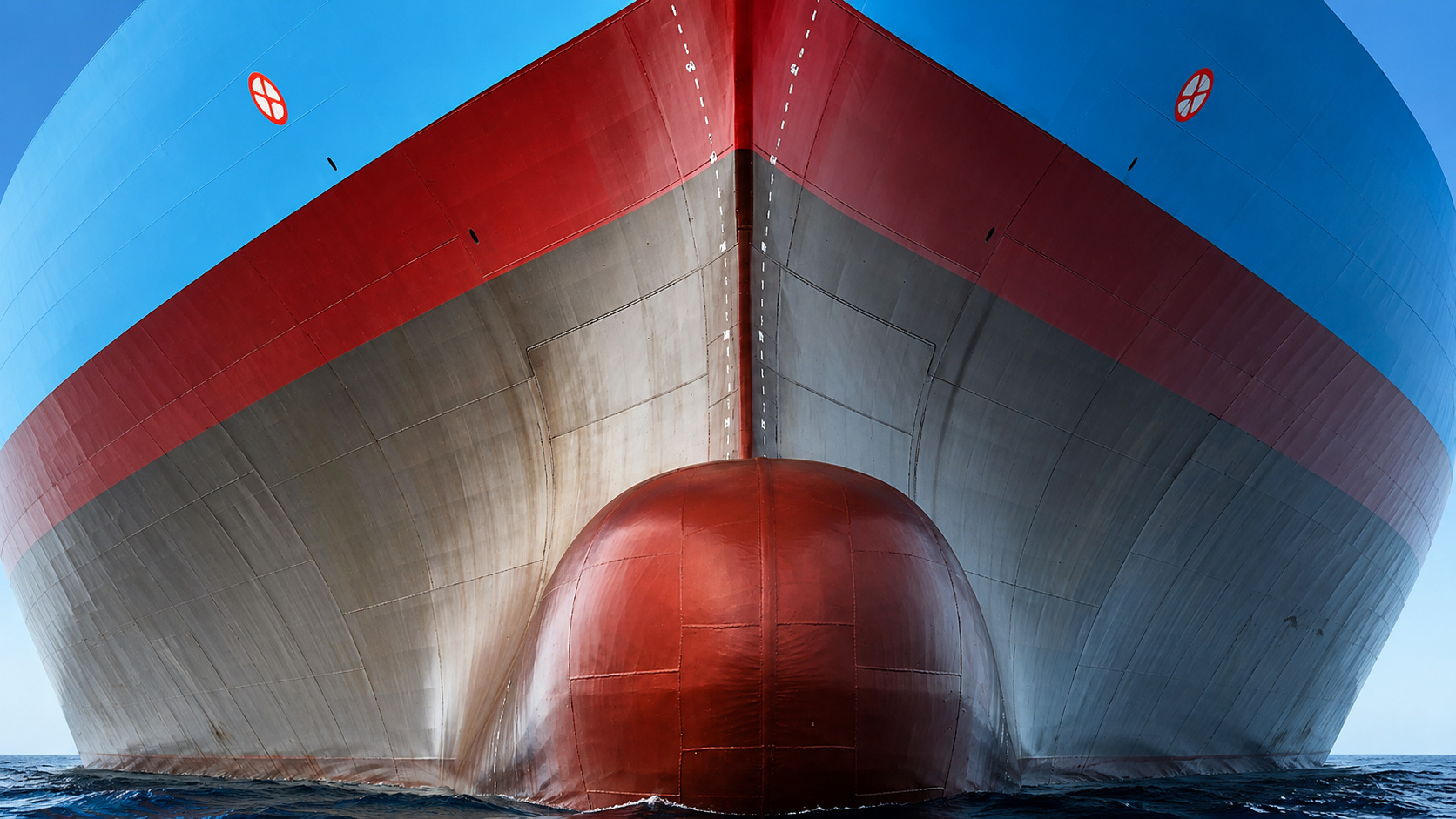
Ships Use Bubble Technology Under Hulls to Reduce Water Resistance and Lower Emissions

-
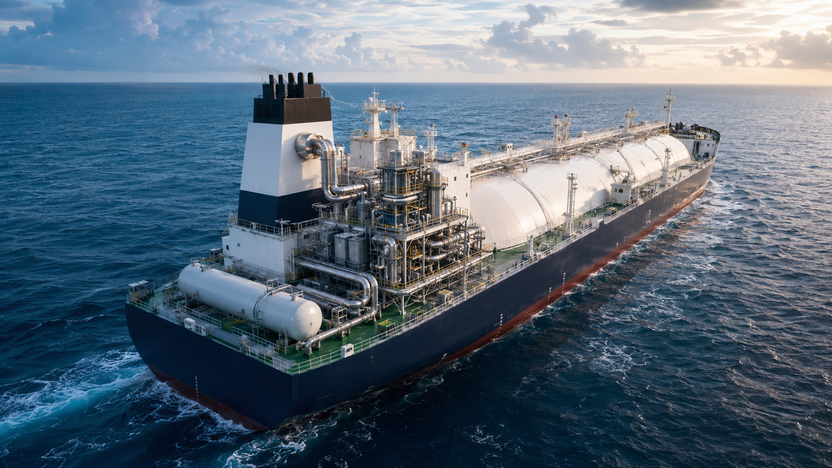
Tanker Ship Installs Onboard Factory, Captures 78% of CO2 Emissions in Test and Stores Gas in Large Tanks
-
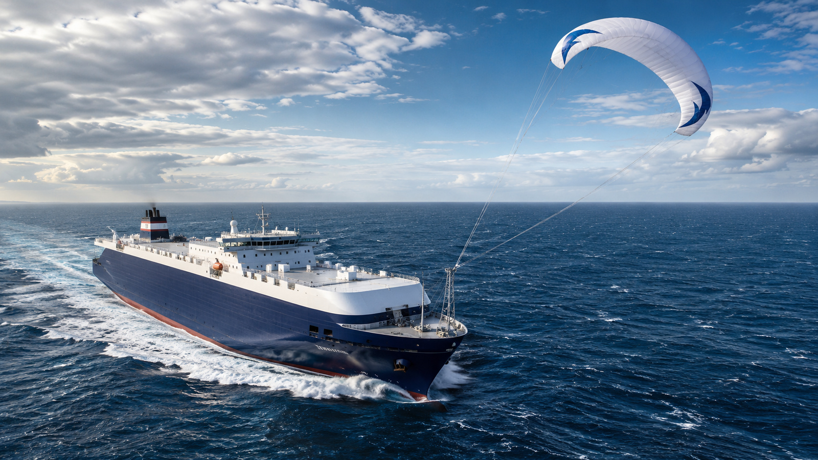
A 500 m² Automated Kite, Larger Than Many Apartments, Helps Propel Airbus Cargo Ship, Reducing Fuel Use
-
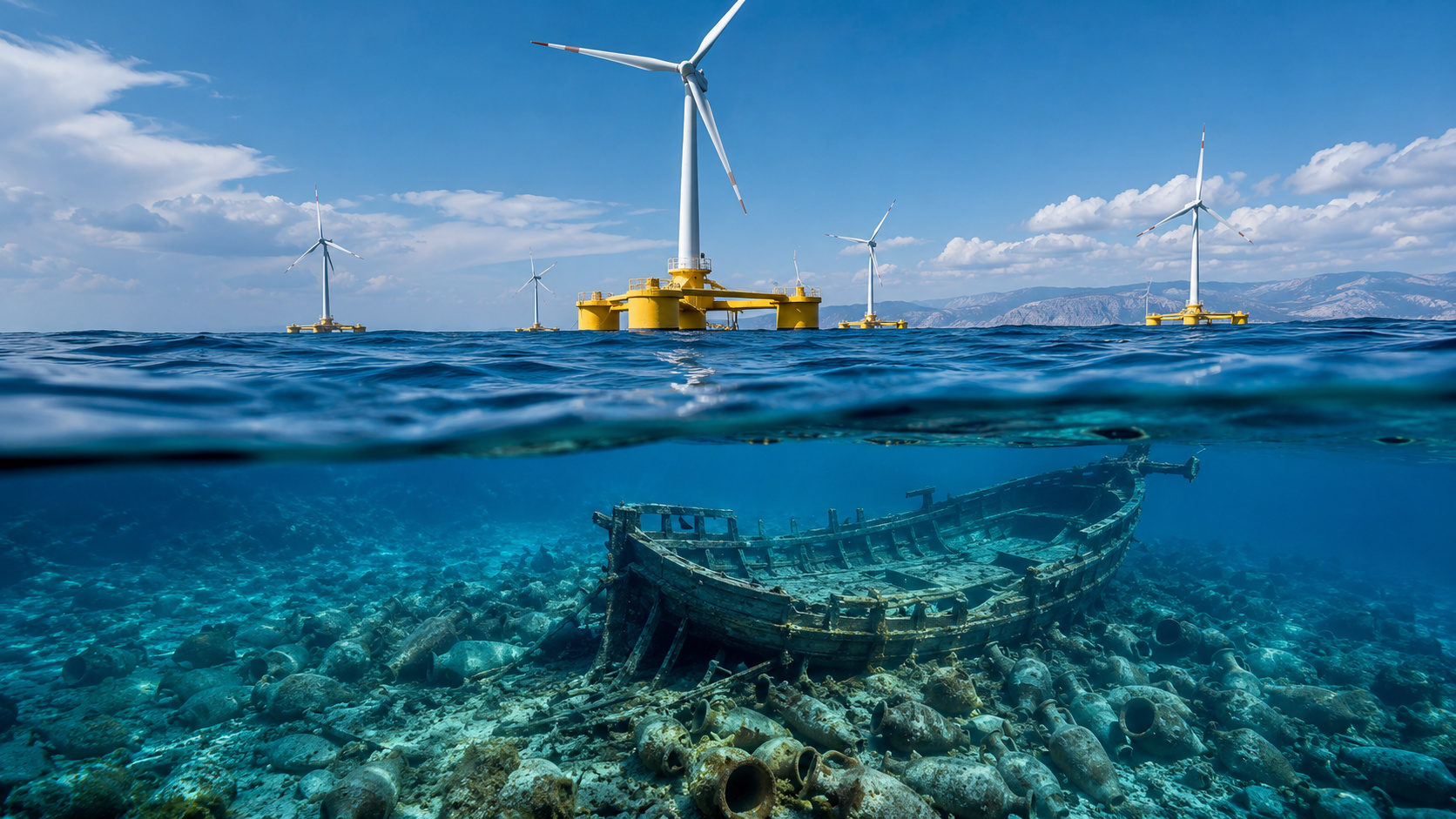
Floating Wind Farm in the Ionian Sea Alters Plans to Protect Ancient Greek Shipwreck with Over 300 Amphorae
How deep is 7,740 meters below the sea
The mark of 7,740 meters does not just represent a drilling in the rock. It sums up the entire distance between the sea surface and the deepest point reached by the drill.
First, there is the ocean water. Then comes the seabed, formed by sediments and rocks. Only then does the drilling enter the solid part of the Earth, where the work becomes even more difficult.
The 3,262 meters into the ocean floor show how far the drill advanced after crossing the sea. It’s like opening a path that starts above the water and follows through a huge layer of soil hidden in the ocean.
This difference avoids a wrong interpretation: the ship did not drill 7,740 meters of rock alone. The number includes the entire path, from the sea surface to the deepest point of the operation.
Chikyu looks like an oil platform, but its function is to research the Earth
The Chikyu was launched in 2005 to conduct very deep scientific drilling. The goal is to expand knowledge about the crust, the Earth’s outermost solid layer, and even deeper parts of the planet.
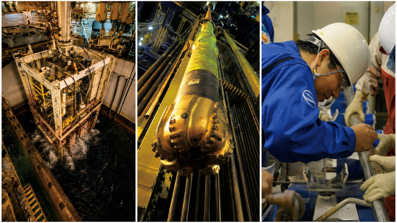
An oil platform drills wells to find and extract energy resources. The Japanese ship uses similar equipment, but the focus is on obtaining samples and data to observe what lies beneath the seabed.
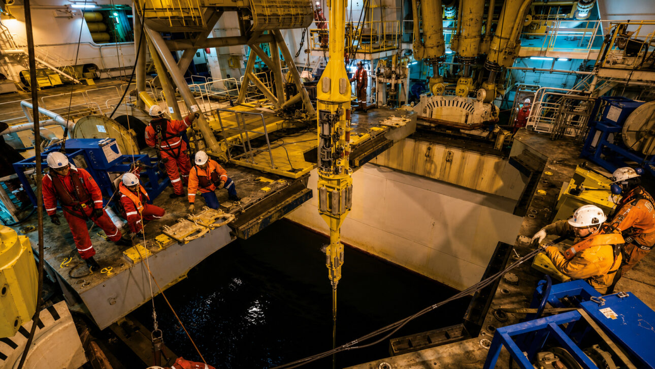
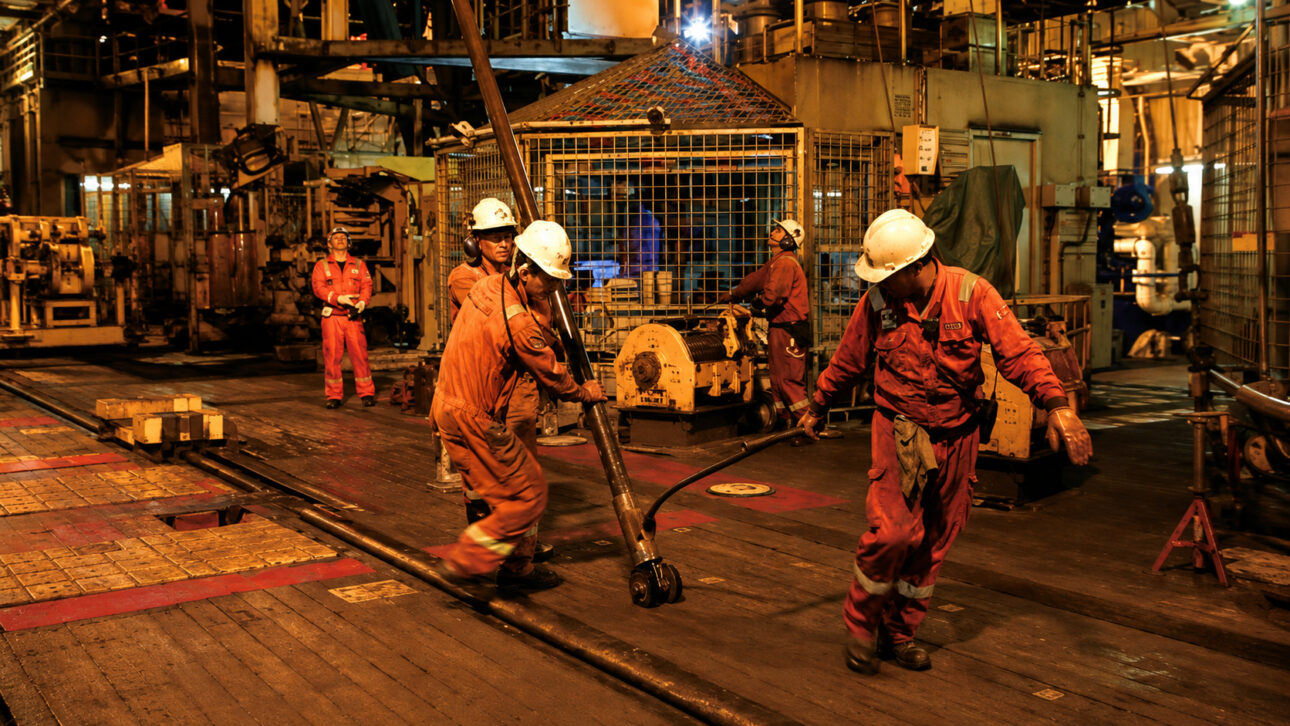
The vessel carries laboratory areas and a drilling tower. Researchers can receive and analyze materials taken from places where divers, common machines, and land excavations cannot reach.
The name Chikyu means Earth in Japanese. The choice fits the mission of crossing the ocean to investigate the planet’s interior, without turning the operation into oil production.
Automatic system keeps the ship at the drilling point
Such deep drilling depends on the ship remaining at the right point, even when wind, waves, and currents try to push the vessel. Any deviation can make it difficult to align the ship with the long structure that descends to the seabed.
The JAMSTEC, Japanese agency for marine and earth science, details that the Chikyu uses an automatic dynamic positioning system. The technology maintains and adjusts the ship’s position during the operation.
In practice, this system makes corrections to the vessel’s location during work. Thus, drilling continues in the defined area with more stability.
This precision makes a difference because the drill works kilometers away from the deck. The ship needs to keep the vertical drilling path as stable as possible.
Vertical pipes create the path between the ship and the rock
The Chikyu uses large vertical pipes to connect the vessel to the drilling point at the ocean floor. They create a protected passage for the drill and equipment that descend to the rock.
These tubes allow a closed system for circulating the liquid used in drilling. This liquid follows a controlled path during the work, something important when the operation aims to create a very deep well under the sea.
The technology is similar to that used in the oil and gas industry, but it serves a different purpose on the Chikyu. The goal is not to extract fuel, but to pave the way for scientific research in deep regions.
The structure also makes it possible to obtain samples from the interior of the seabed. Each material extracted helps to build a more detailed picture of the layers hidden beneath the ocean.
Geological faults help study major earthquakes
Geological faults are large cracks in the rocks, where parts of the Earth can move. Some of these movements release energy and cause earthquakes, even in areas that are under the ocean.
The Chikyu participates in research focused on seismic zones, regions where major earthquakes can occur. Drilling allows getting closer to the rocks that hold signs of pressure, friction, and changes that occurred in the past.
A research conducted with the ship aimed to drill directly into seismic zones to better understand how earthquakes happen. This type of study brings researchers closer to the rocks involved in the major movements of the seabed.
The work shows why the seabed matters to science. Many important geological structures of the planet are hidden beneath kilometers of water and soil.
Scientific drilling does not inform when an earthquake will happen
Knowing a geological fault does not allow pinpointing the day, time, or exact location of a future earthquake. Even in areas studied by the Chikyu, there are still doubts about which faults might move and when this might happen.
The ship produces information about depth, rocks, and conditions found within the ocean floor. This material expands the understanding of the planet, but it does not function as an early warning for the population.
The great achievement of the Chikyu is reaching places previously almost inaccessible. The mark of 7,740 meters below the sea shows the magnitude of the challenge of studying the Earth from within, while it is covered by an entire ocean.
The Chikyu combines naval engineering, scientific drilling, and geological research to investigate areas where major earthquakes can form. The vessel does not seek oil and does not predict tremors, but it helps to reveal how deep rocks behave.
Upon reaching 3,262 meters within the ocean floor, the drill opened a window to parts of the planet that remain little known. The result reinforces that science needs to go very deep to answer questions that begin well below the waves.
Do you think studying hidden faults on the ocean floor can help reduce the damage of major earthquakes? Tell us in the comments and share the report.


