Portuguese
  Spanish
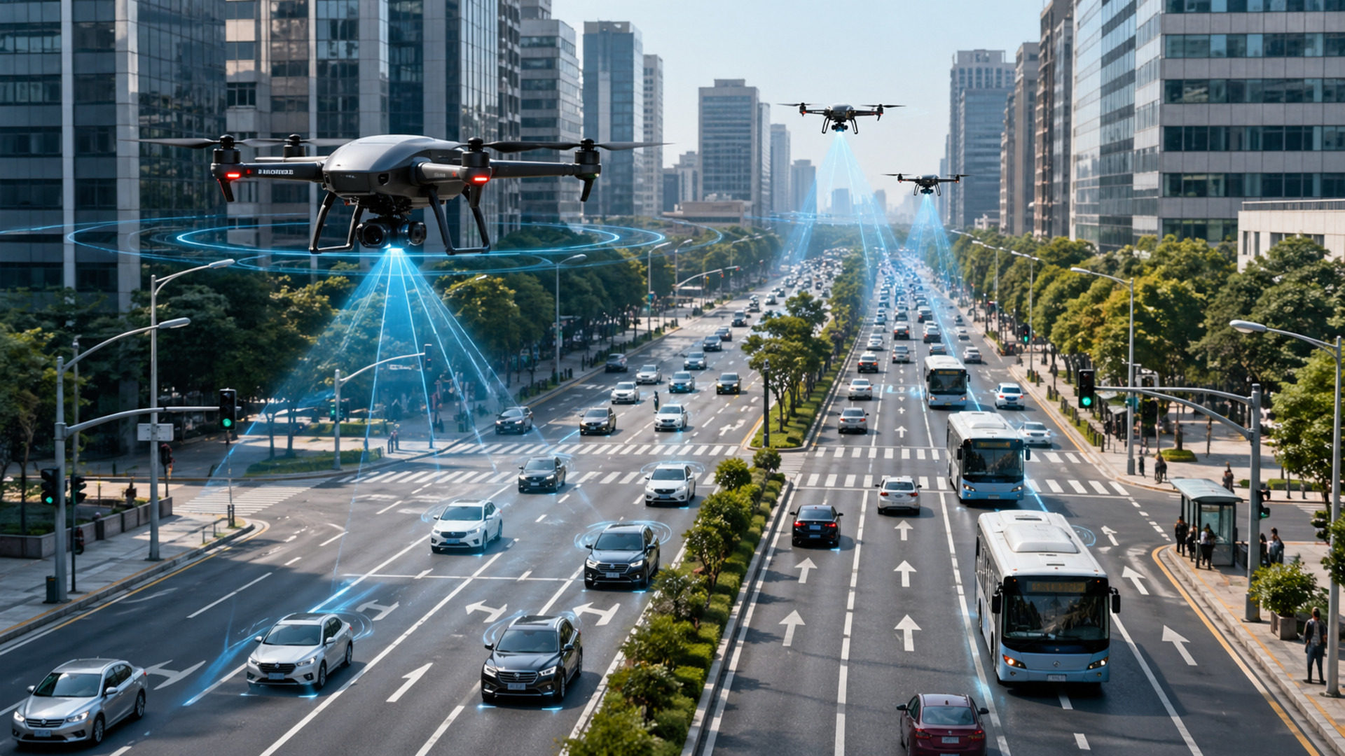
Smart traffic developed by Swiss researchers combines drones, artificial intelligence, and predictive models to observe streets in real-time, anticipate bottlenecks, adjust traffic lights, and improve urban circulation, with the potential to reduce fuel consumption by up to 20% in cities.
Swiss researchers have developed a smart traffic method that combines drones and artificial intelligence to reduce urban congestion and save up to 20% on fuel in cities. The proposal uses data captured from above to anticipate bottlenecks, optimize traffic lights, and improve mobility decisions before blockages spread across roads.
The technology was developed at EPFL’s Urban Transport Systems Laboratory, known as LUTS, which uses drones to complement cameras, fixed sensors, and detectors installed in the asphalt. This combination expands the view of traffic, allowing for the observation of intersections, roundabouts, avenues, and interactions between vehicles, pedestrians, and cyclists simultaneously.
The goal is not just to record stopped cars, but to understand how congestion forms and propagates within the city. Based on this mapping, the models can guide faster responses, such as traffic light coordination, flow redistribution, and identification of critical zones.
-
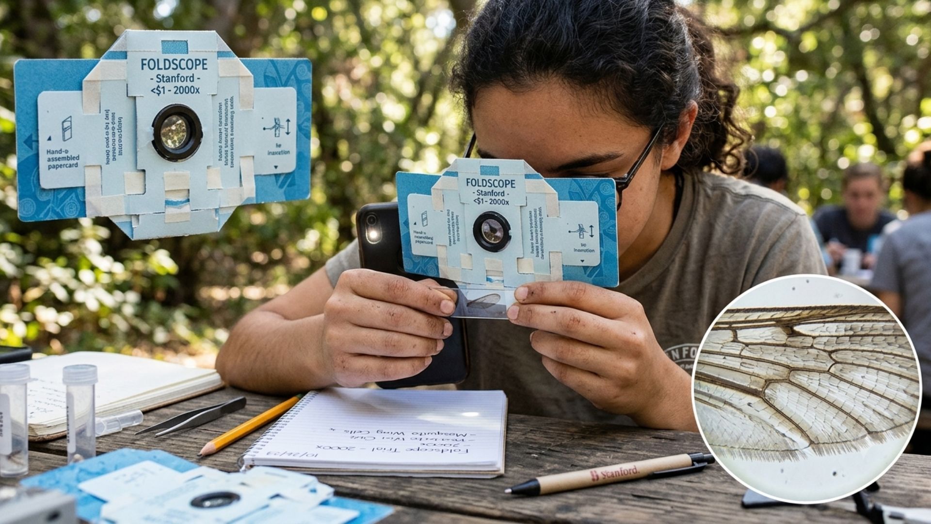
Bioengineer Develops Microscope That Magnifies Objects Up to 2,000 Times Using Just a Folded Sheet of Paper, a Tiny Lens, and Less Than $1, Bringing Lab Science Anywhere for Less Than the Cost of a Candy

-
Dog Walker in English Forest Uncovers 3,400-Year-Old Bronze Age Axe
-
Texas Blackout Inspires Student to Develop Bionic Leaf Catalyst for Converting Sunlight, Water, and Bacteria into Fuel

-
Brazilian Students Develop Process to Turn Styrofoam Waste into Water-Purifying Charcoal


Drones expand the view of urban traffic
Traditional traffic control systems rely on fixed sensors, cameras, and measurement stations, but these resources observe limited parts of the road network. Drones offer a broader, more detailed, and flexible view, capable of capturing entire areas and showing how different agents move simultaneously.
In 2018, LUTS engineers conducted a pioneering experiment in Athens, using drones to collect a large volume of data and analyze traffic patterns. As the equipment could not distinguish license plates or faces, the work complied with data protection rules.
The collected data served to develop algorithmic methods capable of identifying vehicle types, such as cars, trucks, buses, motorcycles, and bicycles. They also allowed for tracking trajectories and understanding interactions that go unnoticed when analysis is restricted to street level.
Predictive models improve by up to 20%
The leap in smart traffic occurs when drone images are integrated with artificial intelligence and machine learning. The inclusion of these measurements in traditional monitoring techniques can improve congestion prediction by between 15% and 20% in many cases.
This improvement allows for anticipating the road network’s reaction to a problem. It’s not about predicting an accident, but about estimating how traffic will behave if an incident occurs and how its effects might impact other areas.
With more precise predictions, traffic lights can be regulated before congestion reaches a certain zone. The technology can also support preventive measures, signal coordination, and adaptive strategies to maintain more stable circulation.
City needs local data to function better
The application of smart traffic depends on local data, because each city has its own displacement patterns. Cultural, urban, and economic factors change how traffic is organized, requiring models adjusted to the reality of each place.
Drones help with this adaptation by allowing for quick, flexible, and relatively economical data collection. The technology can complement existing databases and feed models with more complete data on circulation, speed, acceleration, and street behavior.
Privacy remains a relevant point in the method. The analysis seeks collective mobility patterns, not the identification of people or license plates, which allows for studying traffic while preserving the confidentiality of drivers and pedestrians.
Noise, emissions, and behavior are included in the analysis
The use of drones and AI goes beyond congestion. By evaluating position, speed, acceleration, and engine type, researchers can estimate noise and emissions linked to urban traffic.
This type of analysis helps identify areas with higher noise pollution, zones with more emissions during peak hours, and points where traffic directly affects air quality. It also allows for the study of lane changes, sudden braking, and dangerous interactions between vehicles and other road users.
Pilot projects in cities like Athens, Nairobi, Manchester, Songdo, and Helsinki have already tested applications linked to this approach. The spin-off MobiLysis, created from this research environment, began applying urban mobility data in studies involving pedestrians, active transport, parking, and public transport.
Fuel economy depends on more efficient flow
The potential to save up to 20% on fuel is linked to the reduction of stops, starts, and congestion stretches. A car stuck in traffic consumes more energy and emits more CO₂ than a vehicle in fluid circulation, making flow management a direct tool for urban efficiency.
The technology can also guide specific measures, such as changes in traffic direction, lane reduction, prioritization of public transport, low-emission zones, and infrastructure redesign. Before being applied on the streets, these decisions can be tested in urban digital twins, which simulate the city in real time.
With drones, AI, and mathematical models, smart traffic transforms aerial images into predictions to reduce congestion and improve circulation. The Swiss proposal places real-time data at the center of urban mobility and aims for cities with fewer delays, lower fuel consumption, less noise, and better quality in daily commuting.
With information from EcoInventos