
 Portuguese
  Spanish
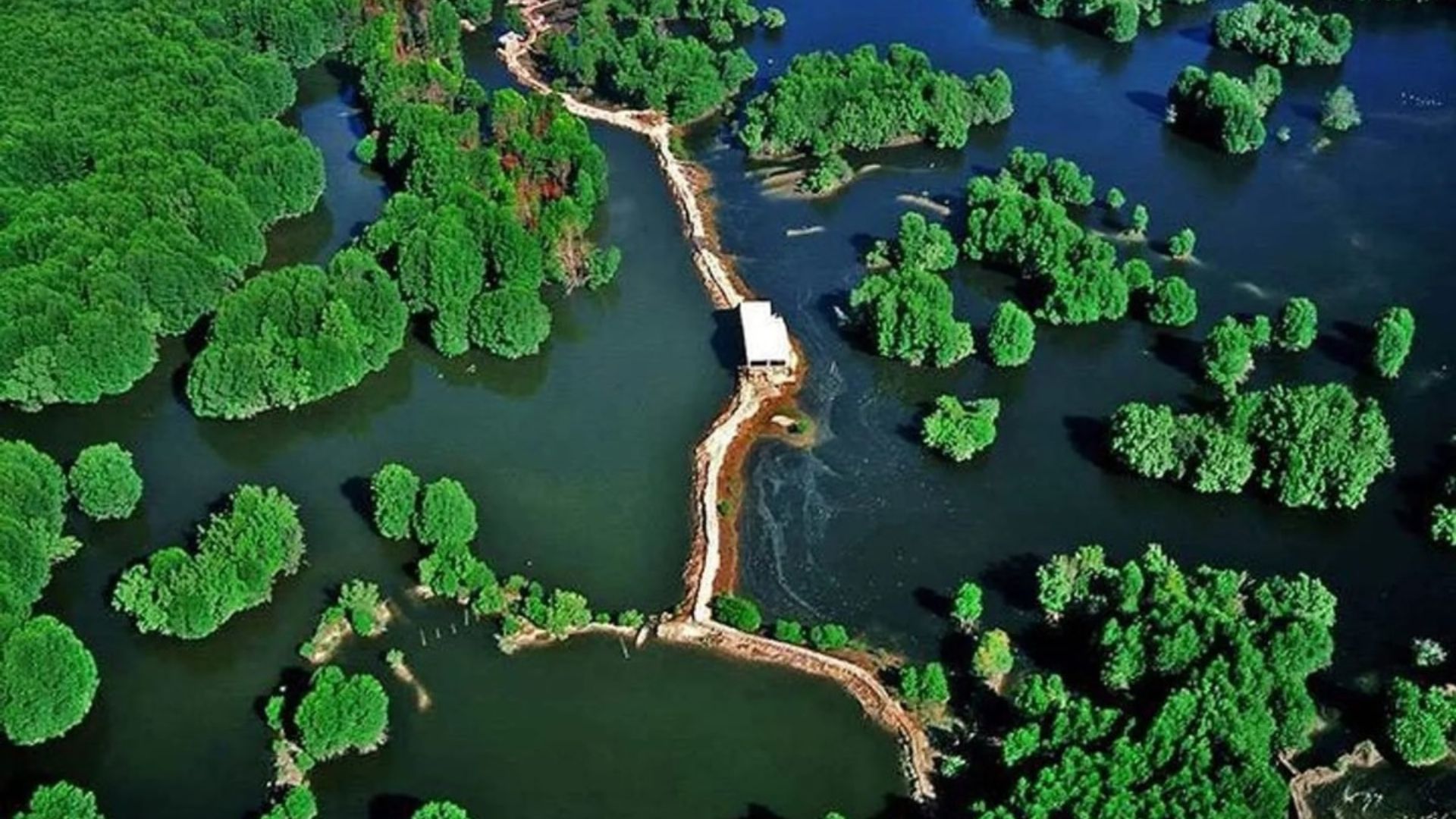
The Mangrove of Cần Giờ in Vietnam Combines Biodiversity, Natural Barrier Against Storms, and Urbanization Challenges in One of the Largest Metropolises in Southeast Asia. Its Preservation Faces the Pressure of Billion-Dollar Megaprojects in the Coastal Area.
The largest urban mangrove in the world resists the pressure of billion-dollar megaprojects and protects millions of people from storms.
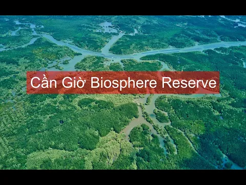
Recognized by UNESCO as a Biosphere Reserve since 2000, the mangrove area of Cần Giờ occupies about 75,740 hectares within the administrative boundaries of Ho Chi Minh City, Vietnam.
The area serves as a “green lung” and a natural barrier against storms for a metropolis with over 9 million residents, which is why public agencies and the local press describe it as the largest urban mangrove in the world.
-
European Country Achieves 100% Glass Recycling and 52% Municipal Waste Recovery, Highlighting Brazil’s Challenges Despite Selective Collection in 60.5% of Cities

-
Facing extreme heat, floods, and disappearing fertile soil, Pakistan launches a “10 Billion Tree Tsunami” in three years to combat desertification, protect rivers, create green jobs, and make reforestation a national survival priority.

-
Cape Verde’s World Cup Surprise: Betting on Electric Cars, a 5 MW Solar Plant, and an Ambitious Plan to Transform Energy for 600,000 Residents

-
Man Finds 1,469 Ancient Roman Silver Coins While Metal Detecting in Romania


This classification does not constitute an official international ranking but is based on the continuous extent of the ecosystem contained within a single municipality and its strategic role for coastal adaptation.
Natural Protection on a Metropolitan Scale
Located about 50 kilometers from the urban center, Cần Giờ covers a significant portion of the municipal territory and concentrates the majority of the city’s forest cover.

The reserve adopts the model of core, buffer, and transition zones, allowing the protection of sensitive sections while regulating traditional productive activities, such as small-scale aquaculture.
Recent studies describe a core zone of about 4,700 hectares, in addition to buffer and transition areas that make up the ecological mosaic between the open sea and the urban fabric—an arrangement rare in dense metropolitan regions.
How the Mangrove Secures the Coastline
The stilt roots and pneumatophores of the mangroves dissipate wave energy, reduce erosion, stabilize banks, and lessen the force of storms.
During storm surge episodes, the flooded forest acts as a natural sponge, absorbing the water column and retaining sediments, which decreases the impact on inhabited areas.
The high biological productivity transforms the reserve into a carbon sink of regional significance, contributing to climate mitigation goals through what is known as “blue carbon.”
These services are cited by international organizations to justify the public value of Cần Giờ for Ho Chi Minh City.
Cleaner Water, More Resilient Fishing
The filtering role also stands out. The mangroves retain nutrients and pollutants flowing down the city’s rivers to the estuary, which helps reduce harmful algal blooms, protects adjacent ecosystems, and benefits artisanal fishing.
The fauna recorded includes crustaceans, fish, and migratory birds that use the tidal flats as feeding areas.
The plant diversity includes species of Rhizophora, Avicennia, and Sonneratia in various stages of regeneration—resulting from decades of restoration and natural regeneration following war damage.
Megaprojects Advance at the Forest Doors
The urban dimension imposes atypical pressures. In October 2024, the Ho Chi Minh City government approved the planning of the coastal urban complex covering 2,870 hectares in Cần Giờ, a private initiative estimated at about US$ 9 billion based on land reclamation.

In January 2025, the city validated the detailed plan (scale 1:500), unlocking licensing stages.
In April 2025, construction of the project began, with expectations of significant earthmoving and the creation of internal lakes and canals.
Another front is logistics. On January 16, 2025, the central government approved the investment policy of the Cần Giờ International Transshipment Port, a project of at least VND 50 trillion that aims to position Ho Chi Minh City as a container hub in Southeast Asia.
Since then, the municipality has been seeking special mechanisms and adjustments to land use and marine space plans to enable the terminal.
New Maritime Links Under Discussion
Connectivity is also on the radar. The city is studying a 45.5 km southern coastal route that includes a maritime bridge to Cần Giờ, designed to reduce travel times and integrate logistics hubs.
In parallel, the Vingroup conglomerate submitted a formal proposal to research and invest in a Cần Giờ–Vũng Tàu bridge, which would significantly shorten the route to the neighboring province.
These projects are still under review, with potential cumulative impacts on the coastal area.
Conservation and Infrastructure: The Challenge of Balance
Reconciling conservation and urban expansion has become a central theme of territorial management.
Planning documents and environmental studies indicate that road, port, and real estate projects require nature-based solutions alongside engineering measures to maintain coastal protection performance.
The current management relies on the large buffer zone to absorb productive uses without compromising the “heart” of the reserve.
Remote sensing monitoring tracks ecological integrity, land use changes, and coastline dynamics.
Local Economy and Visitation Under Rules
In the social field, the mangrove supports family economies of gathering and mariculture and, on weekends, receives visitors for boat rides, birdwatching, and suspended trails in designated areas.
To reduce impacts, the government restricts visitation to specific hubs, defines nautical routes, and imposes distance criteria from nests and natural nurseries.
Monitoring focuses efforts during periods of higher fire risk and at points prone to waste dumping.


