Portuguese
  Spanish
Platform Details Distribution of Mining Activity by Region, Type of Process, and Phase of Exploration; Tool Can Help in Territorial Planning and Monitoring Mining Management
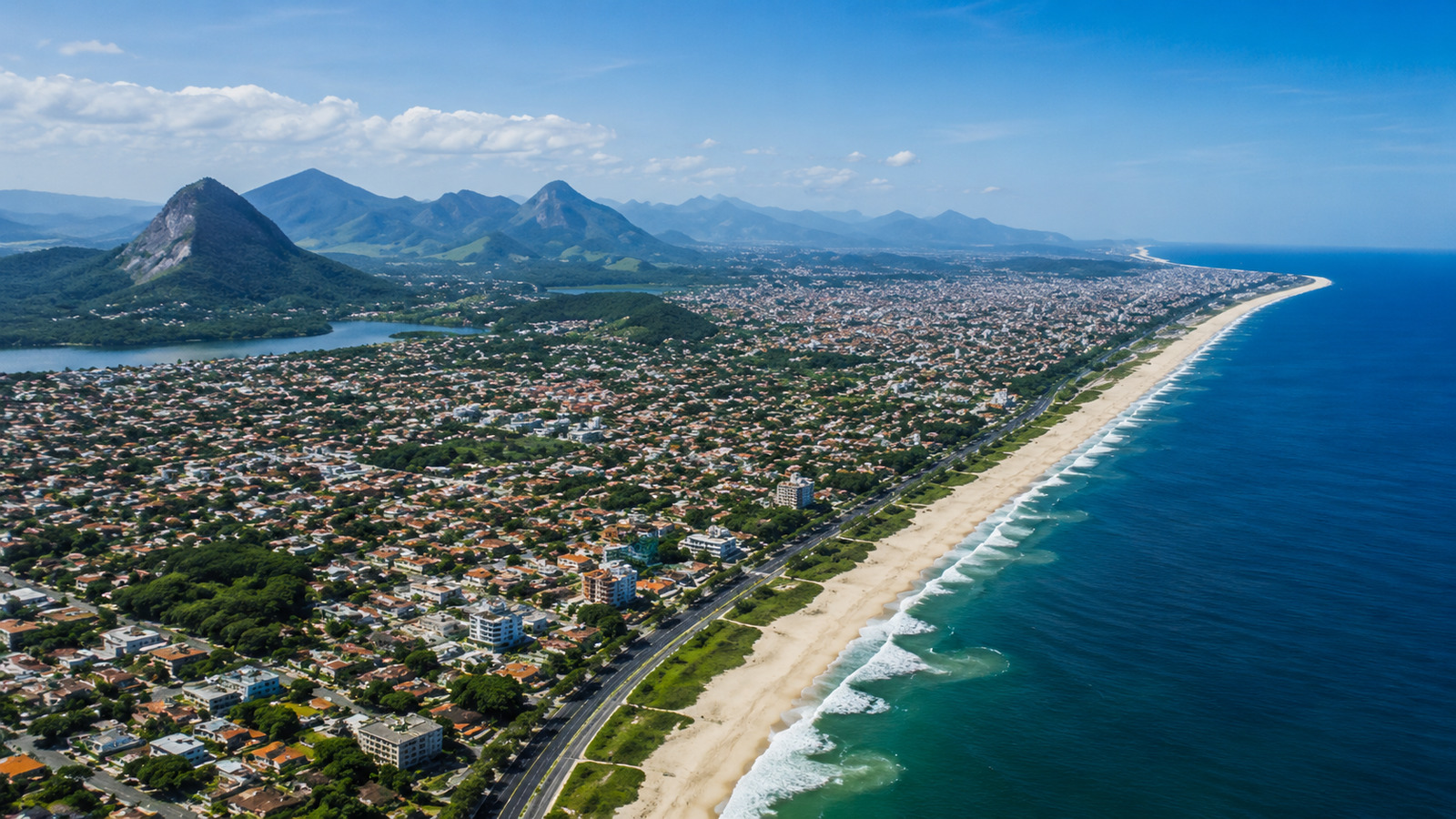
The National Mining Agency (ANM) has taken an important step to strengthen transparency and access to information in the Brazilian mineral sector. The Mining Distribution Dashboard has been launched in Brazil, an interactive platform developed by the Mineral Geoinformation Coordination (COGEO), which offers georeferenced data on mining activity throughout the national territory.
According to an official statement published on the Gov.br portal, the dashboard allows the general public, researchers, and industry agents to consult detailed information about ongoing mining processes, such as research authorizations, operating mines, occupied areas, and their distribution by states and regions in Brazil.
Open Data and Filters for Regional Consultation

The ANM dashboard offers various filters that facilitate navigation by process type, exploration phase, federal unit, and mineral substance. With these options, it is possible to identify, for example, which states concentrate more mineral research applications or operating mines.
-
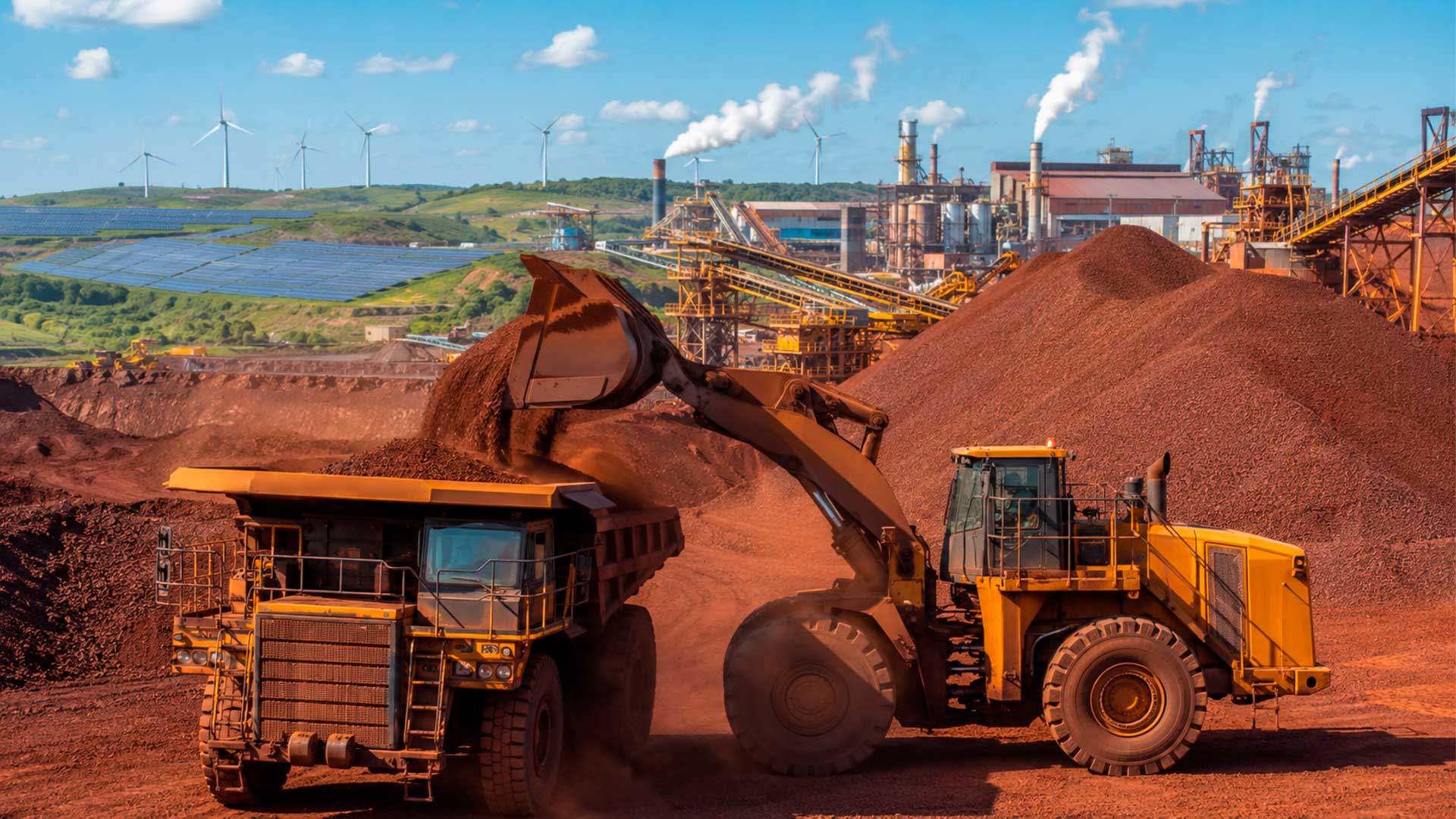
China could reduce iron ore imports from 80% to 50% of consumption by 2030, while its share in global steel production falls from 52% to 46%, in a shift that could reshape the global market, says CMRG.

-
Brazil is sitting on one of the largest lithium reserves in the world, in the Jequitinhonha Valley, but national mining has almost become an appendage of China: 97% of the metal’s export goes to a single country, which also dominates refining.
-
Iron ore falls to 762 yuan in China as real estate sales decline and steel production hits lowest level since 2018
-
Brazil has minerals, clean energy, and a waiting market, but it could miss a billion-dollar opportunity if it doesn’t speed up the race for green minerals, while the steel industry seeks to reduce emissions.


The tool also shows the evolution of processes over the years, allowing for a temporal analysis of mining in Brazil. This database is constantly updated and complements the Geographic Information System for Mining (SIGMINE), already maintained by the ANM.
Support for Territorial Planning and Public Policies
According to the ANM’s general director, Mauro Sousa, the dashboard not only increases the transparency of mining activity but also serves as support for urban and regional planning. “The ability to cross different layers of information expands the ways of consultation and generates greater knowledge about the use of Brazilian territory,” the manager highlighted in an interview with Geocracia.
These data can be used by municipalities, environmental agencies, investors, and civil society organizations to develop diagnostics and monitor the sustainable growth of mining activity.
Tool Contributes to Greater Transparency
With this launch, the ANM reinforces its commitment to modernizing information systems and democratizing public data. The dashboard allows for quick and educational consultations, helping more people understand how mining impacts different regions of the country and what the trends in mineral exploration are.
The use of geoinformation technologies in mining is a growing trend in countries seeking to align extractive activities with good governance practices and environmental responsibility. The Brazilian initiative, according to the Gov.br portal, aligns with the principles of open government and accessible data.