Portuguese
  Spanish


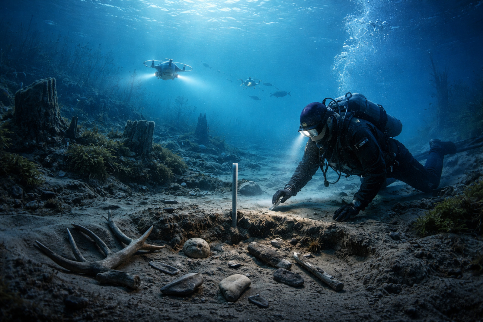

Analyses of environmental DNA show that Doggerland had forests, large mammals, and conditions more favorable to human life at the end of the Ice Age
Doggerland, an ancient territory submerged beneath the North Sea, has been depicted in recent research indicating forests, fauna, and mild conditions about 16,000 years ago, changing the understanding of climate, vegetation, and human occupation at the end of the last Ice Age.
Doggerland is the land strip that connected Great Britain to the coasts of the Netherlands, Germany, Denmark, and part of Norway.
During the last glaciation, sea levels were lower, exposing a plain covered by the North Sea.
-
China Builds World’s Largest Power Grid, Generating Enough Energy to Supply 15 Times Brazil’s Needs, Surpassing the US, EU, and India Combined

-
Brazil’s First 3D-Printed House Built in 30 Hours with Two Operators and 20% Lower Costs

-
Parker Solar Probe Discovers High-Speed Dust Grains Near the Sun, Offering New Insights into Solar Corona’s Mysteries
-
Google Revives Historic Hangar for Cutting-Edge Tech in Silicon Valley: Once Built for a “Flying Aircraft Carrier,” Now a Hub for Drones and Robotics




The new evidence indicates that Doggerland was not just a hostile corridor but a productive environment, with complex ecosystems and potential for prolonged occupations.


How the environment at the bottom of the sea was reconstructed
Interest in Doggerland has grown with advances in geology, genetics, and archaeology, which have allowed for detailed examination of the North Sea floor.
Relief models, seismic mapping, and drilling have helped reconstruct rivers, valleys, plains, and ancient basins that connected areas of Great Britain to the continent.
The most recent stage came from the analysis of environmental DNA, or eDNA, obtained from genetic fragments preserved in marine mud.
This method allows for the identification of plant and animal species through residues such as pollen, roots, feces, hair, and other traces preserved in sediments.
With dozens of samples, researchers reconstructed which species lived in Doggerland over thousands of years.
What the DNA revealed
The results show a greener landscape than previously imagined. Instead of a space dominated by tundra, Doggerland featured areas of temperate forests around 16,000 years ago.
Among the evidence are DNA sequences compatible with trees such as larches, elms, and hazelnuts, suggesting dense forest cover.
The studies also identified traces of wild boars, deer, bears, and wild ancestors of domestic cattle, signaling robust food chains.
Records of plants that seem to have survived cold phases also appeared, serving as refuges for European flora.
The chronological data reinforce the existence of mild environments during this period, challenging the idea of tundra dominance over Doggerland.
What this indicates about occupation
With this environmental picture, experts describe Doggerland as an ecological refuge amid the climatic fluctuations at the end of the Ice Age.
For hunter-gatherer groups, the region likely offered favorable living and mobility conditions.
Among the opportunities highlighted are an abundance of game, access to fruits, seeds, roots, and edible plants, as well as fish and seafood in rivers, estuaries, and coastal lagoons.
Valleys, waterways, and coastlines would have functioned as natural routes for movement.
Although direct human remains are rare, stone artifacts and objects collected by fishing nets and dredges indicate human activity before the total flooding.
The disappearance at the bottom of the sea and the challenges
The gradual drowning of Doggerland shows how rising sea levels transform inhabited landscapes.
Studies indicate that parts of the southern sector remained above water until about 6,000 years ago, a slightly longer timeframe than predicted in older models.
This revision helps to calibrate projections about the future behavior of the oceans in the face of melting large ice masses.
The flooding occurred in stages, converting plains, river valleys, and elevations into bays, sandbanks, and open sea.
Investigating Doggerland remains costly and complex, as most of the area is under the turbulent waters of the North Sea.
Moreover, interpreting environmental DNA requires caution, as fragments may be transported by currents or mixed in sediment layers.
Even so, the combination of DNA, high-resolution geophysical mapping, and archaeological finds of commercial vessels is forming a more detailed picture of this lost land.
With information from Revista Oeste.