






 Portuguese
  Spanish


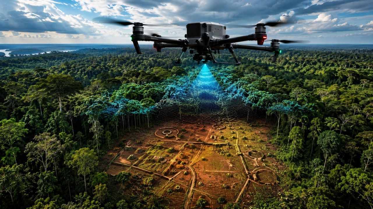

In Xingu, drone with LiDAR creates a point cloud over the forest and helps researchers and Kuikuro identify ancient villages, ditches, roads, and archaeological sites, while digital maps strengthen the historical reading of the territory and enhance indigenous management with technology applied directly in the field by the local communities themselves.
A drone equipped with a LiDAR sensor is being used by researchers and the Kuikuro people to map indigenous areas in Xingu, revealing details hidden under the tree canopy. The technology creates a point cloud capable of recording the forest floor and identifying archaeological sites, ditches, ancient roads, mounds, and historical villages.
The record released by the channel Pesquisa FAPESP, the work takes place in the Kuikuro territory, in areas near the Buriti River, and gained momentum from surveys conducted in 2023, with new mapping stages being planned to expand coverage. The initiative seeks to better understand the historical occupation of the region and, at the same time, teach the Kuikuro themselves to produce digital maps of the territory.
Drone with LiDAR reveals what the forest was hiding in Xingu

For a long time, mapping archaeological sites in Xingu required long walks, a compass, GPS, and weeks or months of fieldwork. Each ditch, each ancient road, and each mound had to be recorded point by point, in a slow process dependent on physical access to the area and forest conditions.
-
James Webb Telescope Uncovers Unexpected Clues on Mysterious Moon, Potentially Redefining Planetary Origins

-
$1.5 Billion Sleipnir Vessel Transforms Ocean into Floating Construction Site with 12 Hybrid Engines and Capacity to Lift 20,000 Tons

-
23 Years After Tragedy, Brazil’s Alcântara Space Center to Launch New Suborbital Rocket in 2026 with South Korean SEBIT Project Targeting Near-Space Tests
-
Entrepreneur Turns Neighbor’s Coffee Grounds Waste into Eco-Friendly Pellets, Earning Up to $40,000 Monthly in Brazil


Now, the drone changes this logic. By flying over the forest in computer-planned routes, it collects thousands of data points in a short time and transforms the terrain into a point cloud. What previously could require months of manual surveying now appears in a few hours of flight, with details that were not visible even to those already familiar with the territory.
How the point cloud passes through the tree canopy
The LiDAR sensor works differently from a regular camera. While a camera only captures the visible image, LiDAR emits light pulses and measures the return of these signals. Part of the pulse hits the leaves, another part the branches, and a final fraction reaches the ground, allowing the separation of vegetation from the actual surface of the terrain.
It is precisely this difference that makes the drone so important for archaeology in forested areas. The tree canopy does not completely block the reading of the soil. The technology can reveal hidden shapes, such as ditches, paths, and elevations, even when the forest seems continuous to those observing from above.
Ancient villages, roads, and ditches appear on the map

In the maps produced from the surveys, researchers can identify elements that help reconstruct the organization of ancient settlements. Ditches near the river, roads connecting villages, and mounds around central areas appear more clearly when the vegetation is digitally filtered.
These details are crucial because they show that the Kuikuro territory holds marks of planned occupation, with paths, structures, and circulation areas. The drone not only captures beautiful images of the forest; it helps reveal a historical landscape that remained partially invisible for centuries.
Technology confirms discoveries and reveals new elements
The use of LiDAR also has confirmation value. Sites previously mapped with GPS and other methods could be compared with the new data. In many cases, what appeared in the old surveys was confirmed by the point cloud, reinforcing the accuracy of previous research.
But the most impressive result is what emerged beyond the expected. In already known areas, the drone revealed elements that had not been noticed before. This shows that technology does not replace the accumulated field knowledge but expands the ability to see hidden patterns in the landscape itself.
Kuikuro people should produce their own digital maps
One of the central objectives of the project is to transfer technical knowledge to the Kuikuro. The idea is that mapping does not always depend on the presence of external researchers but is incorporated as a tool for territorial management by the indigenous communities themselves.
With mastery of the drone, sensors, and digital maps, the Kuikuro can record areas of interest, monitor changes in the territory, and strengthen the documentation of their own history. The technology becomes an instrument of autonomy, not just a scientific tool.
The indigenous past gains new layers of interpretation


The Kuikuro territory is not just a current area of indigenous occupation. It also holds marks of ancient villages, paths, and structures that help understand the historical depth of human presence in the Xingu. Each piece of data collected by the drone contributes to assembling this picture with more precision.
By revealing the ground beneath the forest, the mapping shows that the Amazon cannot be seen as an empty space or untouched by human action. The ditches, roads, and mounds indicate ancient forms of territorial organization, circulation, and coexistence with the environment.
Mapping can change territorial management
Besides the archaeological value, the data have practical impact. High-precision digital maps help visualize areas of use, historical points, rivers, contemporary villages, and regions that require special attention. This can support internal decisions on preservation, research, and territorial management.
The drone also allows for comparison of ancient and current areas, creating a broader understanding of the transformation of the territory over time. When the community masters this type of information, it gains more strength to protect its memory, its space, and its own forms of organization.
More than a technical innovation, the project points to a change in protagonism. The Kuikuro are not just subjects of research but future producers of their own maps. And you, do you think technologies like drones and LiDAR can help better protect indigenous history and territories? Leave your opinion in the comments.


