Portuguese
  Spanish
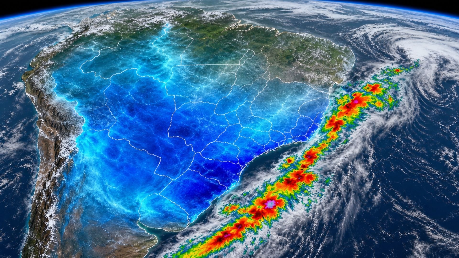
Cold air mass advances over Brazil in the coming days, gains enough intensity to form a cold snap in the South and Southeast and may cause a widespread temperature drop, several frosty mornings, and storms before the stronger weather change
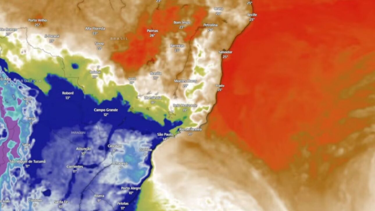
The cold air mass expected to advance over Brazil has gained strength in the latest projections and now outlines a broader and more lasting cold scenario, especially for the South and Southeast. What previously appeared as a more common cold air incursion now emerges with the potential to cause a cold snap, with several consecutive days of lower temperatures and a more intense peak between May 12 and 13.
The alert draws attention because the system is not expected to be restricted to the extreme south of the country. In addition to dropping temperatures in the South, the cold air mass should also reach the Southeast and advance close to the central region of Brazil. Before the stronger weather change, the scenario still includes a cold front, the possibility of storms, and the formation of a large offshore cyclone, which reinforces instability in the coming days.
What changes with the more intense cold air mass